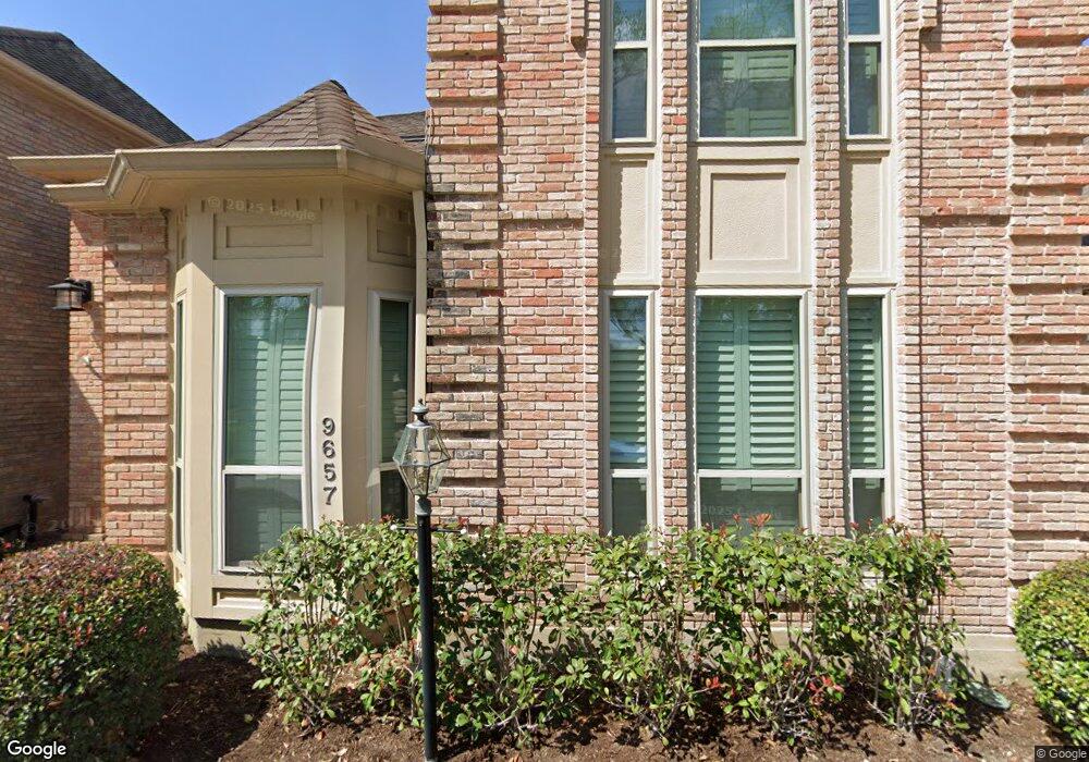
9657 Longmont Dr Houston, TX 77063
Mid West NeighborhoodEstimated Value: $421,398 - $455,000
3
Beds
3
Baths
2,517
Sq Ft
$174/Sq Ft
Est. Value
About This Home
This home is located at 9657 Longmont Dr, Houston, TX 77063 and is currently estimated at $437,850, approximately $173 per square foot. 9657 Longmont Dr is a home located in Harris County with nearby schools including Emerson Elementary School, Paul Revere Middle School, and Wisdom High School.
Ownership History
Date
Name
Owned For
Owner Type
Purchase Details
Closed on
Sep 25, 2018
Sold by
Dodson Mary Frayser
Bought by
Hightower Robert
Current Estimated Value
Purchase Details
Closed on
Nov 1, 2016
Sold by
Gerdel John J and Gerdel Joyce K
Bought by
Suvalsky Robert N and Suvalsky Lisa B
Purchase Details
Closed on
Apr 25, 2016
Sold by
Beetz James R
Bought by
Storenski John P and Storenski Jo Frances
Create a Home Valuation Report for This Property
The Home Valuation Report is an in-depth analysis detailing your home's value as well as a comparison with similar homes in the area
Home Values in the Area
Average Home Value in this Area
Purchase History
| Date | Buyer | Sale Price | Title Company |
|---|---|---|---|
| Hightower Robert | -- | Chicago Title | |
| Suvalsky Robert N | -- | Stewart Title | |
| Storenski John P | -- | Tradition Title Company |
Source: Public Records
Tax History Compared to Growth
Tax History
| Year | Tax Paid | Tax Assessment Tax Assessment Total Assessment is a certain percentage of the fair market value that is determined by local assessors to be the total taxable value of land and additions on the property. | Land | Improvement |
|---|---|---|---|---|
| 2025 | $1,604 | $387,146 | $110,000 | $277,146 |
| 2024 | $1,604 | $343,114 | $110,000 | $233,114 |
| 2023 | $1,604 | $390,000 | $110,000 | $280,000 |
| 2022 | $7,861 | $356,999 | $110,000 | $246,999 |
| 2021 | $8,102 | $347,635 | $110,000 | $237,635 |
| 2020 | $8,080 | $333,684 | $110,000 | $223,684 |
| 2019 | $8,556 | $338,115 | $110,000 | $228,115 |
| 2018 | $7,191 | $368,326 | $110,000 | $258,326 |
| 2017 | $9,313 | $368,326 | $110,000 | $258,326 |
| 2016 | $8,868 | $368,326 | $110,000 | $258,326 |
| 2015 | $3,153 | $356,343 | $110,000 | $246,343 |
| 2014 | $3,153 | $337,926 | $100,000 | $237,926 |
Source: Public Records
Map
Nearby Homes
- 9620 Doliver Dr
- 9632 Bayou Brook St
- 9618 Bayou Brook St
- 45 Bayou Pointe Dr
- 9518 Bayou Brook St
- 2100 Tanglewilde St Unit 750
- 2100 Tanglewilde St Unit 169
- 2100 Tanglewilde St Unit 536
- 2100 Tanglewilde St Unit 402
- 2100 Tanglewilde St Unit 422
- 2100 Tanglewilde St Unit 625
- 2100 Tanglewilde St Unit 131
- 2100 Tanglewilde St Unit 455
- 2100 Tanglewilde St Unit 600
- 2100 Tanglewilde St Unit 299
- 2100 Tanglewilde St Unit 378
- 30 E Rivercrest Dr
- 45 Patti Lynn Ln
- 6 Gessner Rd
- 9400 Doliver Dr Unit 70
- 9655 Longmont Dr
- 9659 Longmont Dr
- 9661 Longmont Dr
- 9663 Longmont Dr
- 9665 Longmont Dr
- 9658 Longmont Dr
- 9649 Longmont Dr
- 9645 Longmont Dr
- 9643 Longmont Dr
- 9647 Longmont Dr
- 9624 Doliver Dr
- 9667 Longmont Dr
- 9622 Doliver Dr
- 9651 Longmont Dr
- 9656 Longmont Dr
- 9653 Longmont Dr
- 9618 Doliver Dr
- 10 Bayou Pointe Dr
- 9 Bayou Pointe Dr
- 9654 Longmont Dr