9657 Swiftwater Rd Grayling, MI 49738
Estimated Value: $380,000 - $816,000
3
Beds
2
Baths
1,934
Sq Ft
$345/Sq Ft
Est. Value
About This Home
This home is located at 9657 Swiftwater Rd, Grayling, MI 49738 and is currently estimated at $666,437, approximately $344 per square foot. 9657 Swiftwater Rd is a home located in Crawford County with nearby schools including Grayling Elementary School, Grayling Middle School, and Grayling High School.
Ownership History
Date
Name
Owned For
Owner Type
Purchase Details
Closed on
May 31, 2024
Sold by
Redd Ian
Bought by
Sokol Michael and Sokol Michelle
Current Estimated Value
Home Financials for this Owner
Home Financials are based on the most recent Mortgage that was taken out on this home.
Original Mortgage
$600,000
Outstanding Balance
$592,632
Interest Rate
7.22%
Mortgage Type
New Conventional
Estimated Equity
$73,805
Purchase Details
Closed on
Sep 25, 2020
Sold by
Hunter Larry
Bought by
Redd Ian and Redd Danielle
Create a Home Valuation Report for This Property
The Home Valuation Report is an in-depth analysis detailing your home's value as well as a comparison with similar homes in the area
Home Values in the Area
Average Home Value in this Area
Purchase History
| Date | Buyer | Sale Price | Title Company |
|---|---|---|---|
| Sokol Michael | $750,000 | -- | |
| Redd Ian | $400,000 | -- |
Source: Public Records
Mortgage History
| Date | Status | Borrower | Loan Amount |
|---|---|---|---|
| Open | Sokol Michael | $600,000 |
Source: Public Records
Tax History Compared to Growth
Tax History
| Year | Tax Paid | Tax Assessment Tax Assessment Total Assessment is a certain percentage of the fair market value that is determined by local assessors to be the total taxable value of land and additions on the property. | Land | Improvement |
|---|---|---|---|---|
| 2025 | $6,379 | $318,800 | $157,500 | $161,300 |
| 2024 | $3,965 | $278,000 | $157,500 | $120,500 |
| 2023 | $7,846 | $236,700 | $157,500 | $79,200 |
| 2022 | $7,365 | $210,100 | $157,500 | $52,600 |
| 2021 | $9,420 | $212,600 | $157,500 | $55,100 |
| 2020 | $3,211 | $216,100 | $157,500 | $58,600 |
| 2019 | $3,135 | $207,700 | $157,500 | $50,200 |
| 2018 | $3,059 | $213,900 | $157,500 | $56,400 |
| 2017 | $2,196 | $214,100 | $157,500 | $56,600 |
| 2016 | $2,178 | $219,600 | $219,600 | $0 |
| 2015 | $2,929 | $219,600 | $0 | $0 |
| 2014 | -- | $195,200 | $0 | $0 |
| 2013 | -- | $196,800 | $0 | $0 |
Source: Public Records
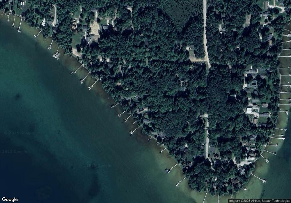
Map
Nearby Homes
- 000 Ray Ave
- 1321 Eagle Point Rd
- 9143 N Lake Shore Dr
- 10032 Washington Ave
- V/L L18-21 Monroe Ave
- 1243 Euclid Ave
- 8530 W Matilda Dr
- 2179 Danish Landing Rd
- 2830 N Portage Ave
- 8063 Collen Ave
- 15968 W M-72 Hwy
- 1725 S Ausable Trail
- 6960 Trem Pal Rd
- V/L Lot 12 Norseman Dr
- V/L Lot 10 Norseman Dr
- V/L Lot 9 Norseman Dr
- V/L Lot 2 Norseman Dr
- V/L Lot 1 Norseman Dr
- Lot 30 Norseman Dr
- 935 Robinhood Ln
- 9639 Swiftwater Rd
- 9637 Swiftwater Rd
- 9659 Lincoln Park Blvd
- 1612 Sunfish Ave
- 1616 Sunfish Ave
- 9593 Lincoln Park Blvd
- 9577 Lincoln Park Blvd
- 9607 Lincoln Park Blvd
- 0 Sunfish Ave
- 1549 Sunfish Ave
- 9635 Lincoln Park Blvd
- 9598 Spinnaker St
- 9681 Lincoln Park Blvd
- 1535 Sunfish Ave
- 9534 Spinnaker St
- 9641 Lincoln Park Blvd
- 9549 Spinnaker St
- 1602 Eagle Point Rd
- 1540 Eagle Point Rd
- 1595 Eagle Point Rd