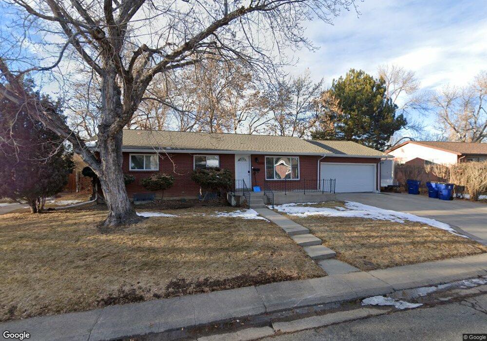
9659 W 63rd Place Arvada, CO 80004
Alta Vista NeighborhoodEstimated Value: $595,362 - $633,000
5
Beds
3
Baths
2,582
Sq Ft
$237/Sq Ft
Est. Value
About This Home
This home is located at 9659 W 63rd Place, Arvada, CO 80004 and is currently estimated at $612,591, approximately $237 per square foot. 9659 W 63rd Place is a home located in Jefferson County with nearby schools including Lawrence Elementary School, Arvada K-8, and Arvada High School.
Ownership History
Date
Name
Owned For
Owner Type
Purchase Details
Closed on
Apr 5, 2013
Sold by
Drotar Kent F
Bought by
Meyer Steven H and Meyer Linda D
Current Estimated Value
Home Financials for this Owner
Home Financials are based on the most recent Mortgage that was taken out on this home.
Original Mortgage
$188,000
Outstanding Balance
$40,046
Interest Rate
3.62%
Mortgage Type
New Conventional
Estimated Equity
$572,545
Create a Home Valuation Report for This Property
The Home Valuation Report is an in-depth analysis detailing your home's value as well as a comparison with similar homes in the area
Home Values in the Area
Average Home Value in this Area
Purchase History
| Date | Buyer | Sale Price | Title Company |
|---|---|---|---|
| Meyer Steven H | $240,000 | Land Title Guarantee Company |
Source: Public Records
Mortgage History
| Date | Status | Borrower | Loan Amount |
|---|---|---|---|
| Open | Meyer Steven H | $188,000 |
Source: Public Records
Tax History Compared to Growth
Tax History
| Year | Tax Paid | Tax Assessment Tax Assessment Total Assessment is a certain percentage of the fair market value that is determined by local assessors to be the total taxable value of land and additions on the property. | Land | Improvement |
|---|---|---|---|---|
| 2024 | $3,630 | $37,425 | $17,526 | $19,899 |
| 2023 | $3,630 | $37,425 | $17,526 | $19,899 |
| 2022 | $2,934 | $29,961 | $12,809 | $17,152 |
| 2021 | $2,983 | $30,822 | $13,177 | $17,645 |
| 2020 | $2,710 | $28,085 | $11,117 | $16,968 |
| 2019 | $2,674 | $28,085 | $11,117 | $16,968 |
| 2018 | $2,448 | $24,999 | $6,618 | $18,381 |
| 2017 | $2,241 | $24,999 | $6,618 | $18,381 |
| 2016 | $1,920 | $20,177 | $5,539 | $14,638 |
| 2015 | $1,666 | $20,177 | $5,539 | $14,638 |
| 2014 | $1,666 | $16,454 | $4,872 | $11,582 |
Source: Public Records
Map
Nearby Homes
- 9656 Rensselaer Dr
- 9667 W 63rd Ave
- 6371 Brooks Dr
- 6138 Iris Way
- 6376 Brooks Dr
- 6580 Independence Way
- 6532 Kipling St
- 6572 Kipling St
- 9175 Cole Dr
- 6114 Miller St
- 6009 Lee St
- 6455 Field St
- 6571 Miller St
- 6077 Flower St
- 10211 W 59th Place
- 6734 Kline St
- 6250 Everett Ct Unit E
- 9743 W 67th Place
- 6240 Everett Ct Unit F
- 10693 W 63rd Dr Unit 102
- 9669 W 63rd Place
- 9649 W 63rd Place
- 9666 Rensselaer Dr
- 9678 Rensselaer Dr
- 9642 W 63rd Place
- 9679 W 63rd Place
- 9652 W 63rd Place
- 9639 W 63rd Place
- 9632 W 63rd Place
- 9686 Rensselaer Dr
- 9662 W 63rd Place
- 9622 W 63rd Place
- 9646 Rensselaer Dr
- 9689 W 63rd Place
- 9637 W 63rd Ave
- 9688 Rensselaer Dr
- 9657 W 63rd Ave
- 9629 W 63rd Place
- 9627 W 63rd Ave
- 9663 Rensselaer Dr