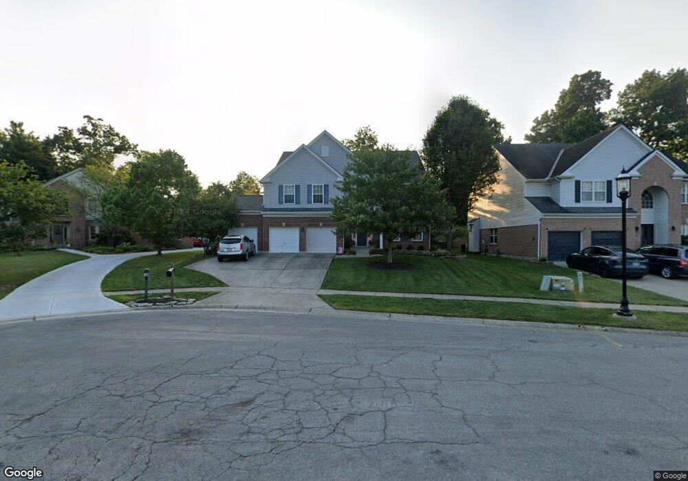
966 Merritt Grove Ln Cincinnati, OH 45255
Estimated Value: $583,000 - $690,000
4
Beds
4
Baths
3,206
Sq Ft
$194/Sq Ft
Est. Value
About This Home
This home is located at 966 Merritt Grove Ln, Cincinnati, OH 45255 and is currently estimated at $621,563, approximately $193 per square foot. 966 Merritt Grove Ln is a home located in Hamilton County with nearby schools including Ayer Elementary School, Nagel Middle School, and Anderson High School.
Ownership History
Date
Name
Owned For
Owner Type
Purchase Details
Closed on
Apr 23, 2001
Sold by
L T Zaring & Co Builder
Bought by
Altimari Joseph F
Current Estimated Value
Home Financials for this Owner
Home Financials are based on the most recent Mortgage that was taken out on this home.
Original Mortgage
$237,700
Interest Rate
7.07%
Mortgage Type
Balloon
Create a Home Valuation Report for This Property
The Home Valuation Report is an in-depth analysis detailing your home's value as well as a comparison with similar homes in the area
Home Values in the Area
Average Home Value in this Area
Purchase History
| Date | Buyer | Sale Price | Title Company |
|---|---|---|---|
| Altimari Joseph F | $321,900 | Cambridge Land Title Agency |
Source: Public Records
Mortgage History
| Date | Status | Borrower | Loan Amount |
|---|---|---|---|
| Closed | Altimari Joseph F | $237,700 |
Source: Public Records
Tax History Compared to Growth
Tax History
| Year | Tax Paid | Tax Assessment Tax Assessment Total Assessment is a certain percentage of the fair market value that is determined by local assessors to be the total taxable value of land and additions on the property. | Land | Improvement |
|---|---|---|---|---|
| 2024 | $11,569 | $185,878 | $30,870 | $155,008 |
| 2023 | $11,018 | $185,878 | $30,870 | $155,008 |
| 2022 | $8,880 | $135,808 | $24,917 | $110,891 |
| 2021 | $8,671 | $135,808 | $24,917 | $110,891 |
| 2020 | $8,844 | $135,808 | $24,917 | $110,891 |
| 2019 | $8,624 | $120,183 | $22,050 | $98,133 |
| 2018 | $8,087 | $120,183 | $22,050 | $98,133 |
| 2017 | $7,635 | $120,183 | $22,050 | $98,133 |
| 2016 | $7,851 | $120,806 | $22,260 | $98,546 |
| 2015 | $7,485 | $120,806 | $22,260 | $98,546 |
| 2014 | $7,490 | $120,806 | $22,260 | $98,546 |
| 2013 | $6,682 | $113,967 | $21,000 | $92,967 |
Source: Public Records
Map
Nearby Homes
- 1019 Wittshire Ln
- 851 Pinewell Dr
- 1019 Eight Mile Rd
- 8038 Eastdale Dr
- 8303 Tidewater Ct
- 8200 Eastdale Dr
- 1163 Witt Rd
- The Springfield Plan at The Enclave at Woodruff
- The Reily Plan at The Enclave at Woodruff
- The Norris Plan at The Enclave at Woodruff
- The Mead Plan at The Enclave at Woodruff
- The Laurel Plan at The Enclave at Woodruff
- 663 Sandker Ln
- 1037 Asbury Rd
- 808 Asbury Rd
- 1007 Nottingham Dr
- 1130 Pamela Rd
- 699 Balbriggan Ct
- 8387 Crosspointe Dr
- 7754 Forest Rd
- 958 Merritt Grove Ln
- 965 Anderson Glen Dr
- 971 Anderson Glen Dr
- 968 Merritt Grove Ln
- 950 Merritt Grove Ln
- 959 Anderson Glen Dr
- 979 Anderson Glen Dr
- 970 Merritt Grove Ln
- 961 Merritt Grove Ln
- 951 Anderson Glen Dr
- 971 Merritt Grove Ln
- 942 Merritt Grove Ln
- 967 Merritt Grove Ln
- 943 Anderson Glen Dr
- 953 Merritt Grove Ln
- 969 Merritt Grove Ln
- 945 Merritt Grove Ln
- 934 Merritt Grove Ln
- 970 Anderson Glen Dr
- 964 Anderson Glen Dr