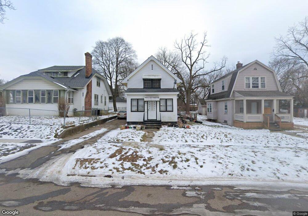
966 Perry St Flint, MI 48504
Mott Park NeighborhoodEstimated Value: $44,000 - $72,000
2
Beds
1
Bath
1,020
Sq Ft
$58/Sq Ft
Est. Value
About This Home
This home is located at 966 Perry St, Flint, MI 48504 and is currently estimated at $58,811, approximately $57 per square foot. 966 Perry St is a home located in Genesee County with nearby schools including Durant-Tuuri-Mott Elementary School, St John Vianney Catholic School, and St. Paul Lutheran School.
Ownership History
Date
Name
Owned For
Owner Type
Purchase Details
Closed on
Sep 12, 2019
Sold by
Koski Gary
Bought by
Cain Kevin and Hooten Pamela
Current Estimated Value
Purchase Details
Closed on
May 13, 2013
Sold by
Koski Gary
Bought by
Cain Kevin and Hooten Pamela
Home Financials for this Owner
Home Financials are based on the most recent Mortgage that was taken out on this home.
Original Mortgage
$18,500
Interest Rate
10%
Mortgage Type
Seller Take Back
Purchase Details
Closed on
Mar 10, 2004
Sold by
Estate Of Beatrice Jennie Lowdermilk
Bought by
Koski Gary
Create a Home Valuation Report for This Property
The Home Valuation Report is an in-depth analysis detailing your home's value as well as a comparison with similar homes in the area
Home Values in the Area
Average Home Value in this Area
Purchase History
| Date | Buyer | Sale Price | Title Company |
|---|---|---|---|
| Cain Kevin | $19,870 | None Available | |
| Cain Kevin | $21,000 | None Available | |
| Koski Gary | $25,000 | Metropolitan Title Company |
Source: Public Records
Mortgage History
| Date | Status | Borrower | Loan Amount |
|---|---|---|---|
| Previous Owner | Cain Kevin | $18,500 |
Source: Public Records
Tax History Compared to Growth
Tax History
| Year | Tax Paid | Tax Assessment Tax Assessment Total Assessment is a certain percentage of the fair market value that is determined by local assessors to be the total taxable value of land and additions on the property. | Land | Improvement |
|---|---|---|---|---|
| 2025 | $855 | $25,800 | $0 | $0 |
| 2024 | $779 | $24,100 | $0 | $0 |
| 2023 | $768 | $19,100 | $0 | $0 |
| 2022 | $0 | $16,800 | $0 | $0 |
| 2021 | $795 | $14,800 | $0 | $0 |
| 2020 | $722 | $12,600 | $0 | $0 |
| 2019 | $707 | $10,200 | $0 | $0 |
| 2018 | $696 | $9,200 | $0 | $0 |
| 2017 | $693 | $0 | $0 | $0 |
| 2016 | $689 | $0 | $0 | $0 |
| 2015 | -- | $0 | $0 | $0 |
| 2014 | -- | $0 | $0 | $0 |
| 2012 | -- | $12,500 | $0 | $0 |
Source: Public Records
Map
Nearby Homes
- 1900 Cadillac St
- 913 Perry St
- 1016 Dupont St
- 2023 Cadillac St
- 1914 Monteith St
- 2026 Monteith St
- 1025 Frost St
- 1702 Stevenson St
- 2008 University Ave
- 1717 Wolcott St
- 721 Frank St
- 810 Stevenson St
- 2410 Flushing Rd
- 1409 Prospect St
- 2410 Sloan St
- 2001 Mackin Rd
- 2101 Barth St
- 1933 Concord St
- 2536 Orchard Ln
- 1220 Forest Hill Ave