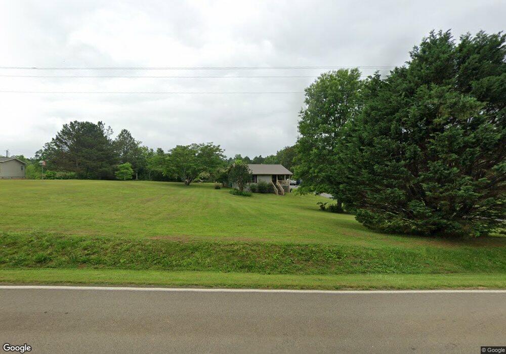
966 Reavis Rd Ball Ground, GA 30107
Estimated Value: $236,000 - $309,000
--
Bed
1
Bath
1,582
Sq Ft
$169/Sq Ft
Est. Value
About This Home
This home is located at 966 Reavis Rd, Ball Ground, GA 30107 and is currently estimated at $268,094, approximately $169 per square foot. 966 Reavis Rd is a home located in Pickens County with nearby schools including Tate Elementary School, Pickens County Middle School, and Pickens County High School.
Ownership History
Date
Name
Owned For
Owner Type
Purchase Details
Closed on
May 2, 2002
Bought by
Wheeler Rickie Allen
Current Estimated Value
Purchase Details
Closed on
Mar 1, 2000
Sold by
Dorris William P
Bought by
Wheeler Rickie Allen
Purchase Details
Closed on
Nov 21, 1991
Bought by
Dorris William P
Purchase Details
Closed on
Aug 21, 1989
Bought by
Stone Scotie and Stone June
Create a Home Valuation Report for This Property
The Home Valuation Report is an in-depth analysis detailing your home's value as well as a comparison with similar homes in the area
Home Values in the Area
Average Home Value in this Area
Purchase History
| Date | Buyer | Sale Price | Title Company |
|---|---|---|---|
| Wheeler Rickie Allen | -- | -- | |
| Wheeler Rickie Allen | $51,500 | -- | |
| Dorris William P | -- | -- | |
| Stone Scotie | $2,000 | -- |
Source: Public Records
Tax History Compared to Growth
Tax History
| Year | Tax Paid | Tax Assessment Tax Assessment Total Assessment is a certain percentage of the fair market value that is determined by local assessors to be the total taxable value of land and additions on the property. | Land | Improvement |
|---|---|---|---|---|
| 2024 | $587 | $77,924 | $17,632 | $60,292 |
| 2023 | $293 | $42,406 | $7,844 | $34,562 |
| 2022 | $278 | $42,406 | $7,844 | $34,562 |
| 2021 | $280 | $42,406 | $7,844 | $34,562 |
| 2020 | $285 | $42,406 | $7,844 | $34,562 |
| 2019 | $291 | $42,406 | $7,844 | $34,562 |
| 2018 | $294 | $42,406 | $7,844 | $34,562 |
| 2017 | $295 | $42,406 | $7,844 | $34,562 |
| 2016 | $888 | $42,105 | $7,543 | $34,562 |
| 2015 | $867 | $42,105 | $7,543 | $34,562 |
| 2014 | $652 | $32,811 | $7,543 | $25,268 |
| 2013 | -- | $32,811 | $7,542 | $25,268 |
Source: Public Records
Map
Nearby Homes
- 0 Reavis Rd
- 4573 Fortner Rd
- 116 Chivalry Ln
- 0 Lawson Federal Rd Unit 10562565
- 0 Lawson Federal Rd Unit 7613406
- 0 Lawson Federal Rd Unit 10555202
- 0 Lawson Federal Rd Unit 7592547
- 1783 4 Mile Church Rd
- 3547 Reavis Mountain Rd
- 1740 Four Mile Church Rd
- 1740 4 Mile Church Rd
- 394 Settlers Ridge Dr
- 0 Harley Trail Unit 10562584
- 0 Harley Trail Unit 7613414
- 659 Oxford Rd
- 884 Oxford Rd
- 575 Cherokee Forest Park Dr
- 458 Cherokee Wood Hollow
- 497 Cherokee Trail
- 0 Lawson Ln
- 62 Lawson Ln
- 60-62 Lawson Ln
- 60 Lawson Ln
- 1077 Reavis Rd
- 21 Lawson Ln
- 839 Reavis Rd
- 836 Reavis Rd
- 1105 Reavis Rd
- 1231 Reavis Rd
- 1085 Reavis Rd
- 1087 Reavis Rd
- 320 Brigadier Ct
- 327 Brigadier Ct
- 229 Lawson Federal Rd
- 229 Lawon Landing Rd
- 321 Brigadier Ct
- 300 Brigadier Ct
- 328 Lawson Federal Rd
- 239 Lawson Federal Rd