9660 NE Dronawood Dr Kingston, WA 98346
Estimated Value: $727,000 - $1,027,000
--
Bed
6
Baths
2,632
Sq Ft
$351/Sq Ft
Est. Value
About This Home
This home is located at 9660 NE Dronawood Dr, Kingston, WA 98346 and is currently estimated at $924,203, approximately $351 per square foot. 9660 NE Dronawood Dr is a home with nearby schools including Richard Gordon Elementary School, Kingston Middle School, and Kingston High School.
Ownership History
Date
Name
Owned For
Owner Type
Purchase Details
Closed on
Sep 26, 2006
Sold by
Hibshman Robert E and Hibshman Vonda R
Bought by
Manix Patrick and Manix Pamela M
Current Estimated Value
Home Financials for this Owner
Home Financials are based on the most recent Mortgage that was taken out on this home.
Original Mortgage
$212,720
Outstanding Balance
$127,425
Interest Rate
6.53%
Mortgage Type
Unknown
Estimated Equity
$796,778
Purchase Details
Closed on
Mar 23, 2004
Sold by
Underwood Archie C and Underwood Beverly
Bought by
Hibshman Robert E and Hibshman Vonda R
Create a Home Valuation Report for This Property
The Home Valuation Report is an in-depth analysis detailing your home's value as well as a comparison with similar homes in the area
Home Values in the Area
Average Home Value in this Area
Purchase History
| Date | Buyer | Sale Price | Title Company |
|---|---|---|---|
| Manix Patrick | $266,180 | Pacific Nw Title | |
| Hibshman Robert E | $200,000 | Land Title Company |
Source: Public Records
Mortgage History
| Date | Status | Borrower | Loan Amount |
|---|---|---|---|
| Open | Manix Patrick | $212,720 |
Source: Public Records
Tax History Compared to Growth
Tax History
| Year | Tax Paid | Tax Assessment Tax Assessment Total Assessment is a certain percentage of the fair market value that is determined by local assessors to be the total taxable value of land and additions on the property. | Land | Improvement |
|---|---|---|---|---|
| 2026 | $8,000 | $955,140 | $185,690 | $769,450 |
| 2025 | $8,000 | $878,490 | $153,930 | $724,560 |
| 2024 | $7,740 | $878,490 | $153,930 | $724,560 |
| 2023 | $7,855 | $878,490 | $153,930 | $724,560 |
| 2022 | $7,044 | $748,310 | $130,670 | $617,640 |
| 2021 | $6,589 | $638,160 | $110,740 | $527,420 |
| 2020 | $6,667 | $638,160 | $110,740 | $527,420 |
| 2019 | $6,735 | $645,310 | $163,620 | $481,690 |
| 2018 | $6,232 | $536,500 | $141,980 | $394,520 |
| 2017 | $6,388 | $536,500 | $141,980 | $394,520 |
| 2016 | $6,198 | $476,920 | $135,220 | $341,700 |
| 2015 | $5,622 | $434,650 | $135,220 | $299,430 |
| 2014 | -- | $426,730 | $135,220 | $291,510 |
| 2013 | -- | $386,840 | $141,040 | $245,800 |
Source: Public Records
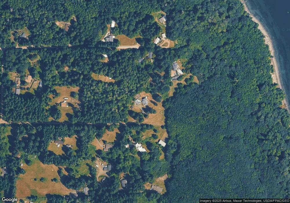
Map
Nearby Homes
- 10307 NE Paradise Cove Lane (5 Lots)
- 10307 NE Paradise Cove Ln
- 9918 Kingston Farm Rd NE
- 28095 Sandy Beach Ln NE
- 9590 NE Leprechaun Ln
- 26787 Red Maple Ln NE
- 28 xxx NE State Highway 104
- 26516 Lindvog Rd NE
- 0 Barber Cut Off Rd NE
- 7919 NE Sunnywoods Ln
- 26468 Kingsview Loop NE
- 26702 Ohio Ave NE
- 32428 Hoffman Rd NE
- 0 Hoffman Rd NE
- 26435 Pennsylvania Ave NE Unit B-39
- 26425 Pennsylvania Ave NE Unit A34
- 25960 Central Ave NE
- 10295 NE West Kingston Rd
- 0 Pilot Point Rd NE
- 29711 Gamble Place NE
- 9613 NE Wyant Rd
- 9665 NE Dronawood Dr
- 9619 NE Wyant Rd
- 9612 NE Wyant Rd
- 9640 NE Dronawood Dr
- 9760 Kingston Farm Rd NE
- 0 NE Dronawood Dr
- 9750 Kingston Farm Rd NE
- 9609 NE Wyant Rd
- 9780 Kingston Farm Rd NE
- 9730 Kingston Farm Rd NE
- 9810 Kingston Farm Rd NE
- 9690 NE Kingston Farm Rd
- 9830 Kingston Farm Rd NE
- 9670 Kingston Farm Rd NE
- 9626 NE Dronawood Dr
- 9840 NE Kingston Farm Rd
- 9695 Kingston Farm Rd NE
- 9625 NE Dronawood Dr