9661 Moore Rd Glouster, OH 45732
Estimated Value: $175,000 - $305,523
3
Beds
2
Baths
1,456
Sq Ft
$165/Sq Ft
Est. Value
About This Home
This home is located at 9661 Moore Rd, Glouster, OH 45732 and is currently estimated at $239,881, approximately $164 per square foot. 9661 Moore Rd is a home with nearby schools including Trimble Elementary School, Trimble Middle School, and Trimble High School.
Ownership History
Date
Name
Owned For
Owner Type
Purchase Details
Closed on
Apr 16, 2016
Sold by
Countrytyme Land Llc
Bought by
Humphrey Joseph A and Humphrey Marsha J
Current Estimated Value
Purchase Details
Closed on
Jan 22, 2016
Sold by
Richards Todd
Bought by
Countrytyme Land Llc
Home Financials for this Owner
Home Financials are based on the most recent Mortgage that was taken out on this home.
Original Mortgage
$22,000
Outstanding Balance
$17,409
Interest Rate
3.97%
Mortgage Type
Purchase Money Mortgage
Estimated Equity
$222,472
Create a Home Valuation Report for This Property
The Home Valuation Report is an in-depth analysis detailing your home's value as well as a comparison with similar homes in the area
Home Values in the Area
Average Home Value in this Area
Purchase History
| Date | Buyer | Sale Price | Title Company |
|---|---|---|---|
| Humphrey Joseph A | $25,000 | Attorney | |
| Countrytyme Land Llc | $25,000 | The Title Company Ltd |
Source: Public Records
Mortgage History
| Date | Status | Borrower | Loan Amount |
|---|---|---|---|
| Open | Countrytyme Land Llc | $22,000 |
Source: Public Records
Tax History Compared to Growth
Tax History
| Year | Tax Paid | Tax Assessment Tax Assessment Total Assessment is a certain percentage of the fair market value that is determined by local assessors to be the total taxable value of land and additions on the property. | Land | Improvement |
|---|---|---|---|---|
| 2024 | $3,046 | $73,300 | $6,770 | $66,530 |
| 2023 | $3,053 | $73,300 | $6,770 | $66,530 |
| 2022 | $2,009 | $46,360 | $5,640 | $40,720 |
| 2021 | $250 | $5,640 | $5,640 | $0 |
| 2020 | $250 | $5,640 | $5,640 | $0 |
| 2019 | $213 | $4,790 | $4,790 | $0 |
| 2018 | $235 | $4,790 | $4,790 | $0 |
| 2017 | $319 | $4,790 | $4,790 | $0 |
| 2016 | $213 | $4,360 | $4,360 | $0 |
| 2015 | $288 | $4,360 | $4,360 | $0 |
| 2014 | $288 | $4,360 | $4,360 | $0 |
| 2013 | $212 | $3,660 | $3,660 | $0 |
Source: Public Records
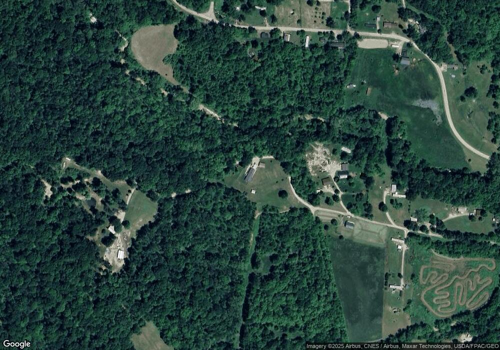
Map
Nearby Homes
- 140 Sycamore St
- 10271 Antle Orchard Rd
- 31 Locust St
- 93 Main St
- 33 S High St
- 88 Front St
- 0 Red Rock Rd
- 11789 Congress Run Rd
- 19477 Center
- 19500 Lake Dr
- 6 E Main St
- 0 Greens Run Rd
- Lambert Rd
- 18242 Ohio 13
- 13899 Locust St
- 45747 Long St
- 18261 Jacksonville Rd
- 0 Oregon Ridge Rd Unit 23564746
- Tract 3 State Route 155 SE
- 1445 E Branch Rd
- 0 Moore Rd
- 9818 Moore Rd
- 9550 Moore Rd
- 21950 Oakdale Rd
- 21861 Oakdale Rd
- 21943 Oakdale Rd
- 9868 Moore Rd
- 21939 Oakdale Rd
- 21939 Oakdale Rd
- 21958 Oakdale Rd
- 21940 Oakdale Rd
- 21299 Oakdale Rd
- 21938 Oakdale Rd
- 9916 Moore Rd
- 9869 Moore Rd
- 21919 Oakdale Rd
- 21896 Oakdale Rd
- 9770 Church House Rd
- 9797 Church House Rd
- 9762 Church House Rd