9664 Seminole Trace Waynesville, OH 45068
Wayne Township NeighborhoodEstimated Value: $846,506 - $981,000
3
Beds
4
Baths
3,964
Sq Ft
$225/Sq Ft
Est. Value
About This Home
This home is located at 9664 Seminole Trace, Waynesville, OH 45068 and is currently estimated at $893,627, approximately $225 per square foot. 9664 Seminole Trace is a home with nearby schools including Waynesville Elementary School, Waynesville Middle School, and Waynesville High School.
Ownership History
Date
Name
Owned For
Owner Type
Purchase Details
Closed on
Jan 14, 2011
Sold by
Stein James S and Stein Melissa S
Bought by
Wenzler Brett J and Wenzler Amy B
Current Estimated Value
Purchase Details
Closed on
Sep 29, 2005
Sold by
Countrytyme Lebanon Ltd
Bought by
Stein James J and Stein Melissa S
Create a Home Valuation Report for This Property
The Home Valuation Report is an in-depth analysis detailing your home's value as well as a comparison with similar homes in the area
Home Values in the Area
Average Home Value in this Area
Purchase History
| Date | Buyer | Sale Price | Title Company |
|---|---|---|---|
| Wenzler Brett J | $55,000 | Attorney | |
| Stein James J | $59,500 | -- |
Source: Public Records
Tax History Compared to Growth
Tax History
| Year | Tax Paid | Tax Assessment Tax Assessment Total Assessment is a certain percentage of the fair market value that is determined by local assessors to be the total taxable value of land and additions on the property. | Land | Improvement |
|---|---|---|---|---|
| 2024 | $8,996 | $223,920 | $36,750 | $187,170 |
| 2023 | $8,792 | $191,971 | $26,264 | $165,707 |
| 2022 | $8,793 | $191,972 | $26,264 | $165,708 |
| 2021 | $8,431 | $191,972 | $26,264 | $165,708 |
| 2020 | $7,342 | $144,106 | $21,354 | $122,752 |
| 2019 | $7,350 | $144,106 | $21,354 | $122,752 |
| 2018 | $7,307 | $144,106 | $21,354 | $122,752 |
| 2017 | $7,174 | $131,194 | $19,285 | $111,909 |
| 2016 | $6,711 | $131,194 | $19,285 | $111,909 |
| 2015 | $3,361 | $131,194 | $19,285 | $111,909 |
| 2014 | $6,425 | $119,720 | $17,980 | $101,730 |
| 2013 | $6,416 | $140,690 | $20,360 | $120,330 |
Source: Public Records
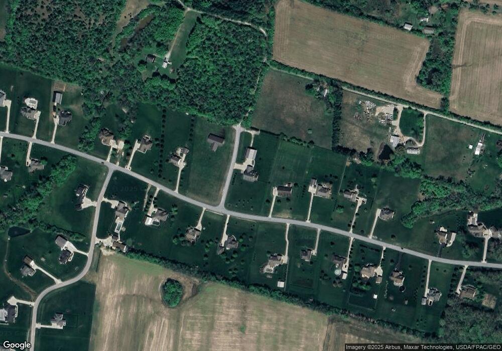
Map
Nearby Homes
- 0 Mount Holly Rd
- 9510 Bellbrook Rd
- 8976 Ferry Rd
- 4001 E Social Row Rd
- 4103 Middle Run Rd
- 9161 Old Stage Rd
- 8519 Old Stage Rd
- 2 Acres Mount Holly Rd
- 7364 Cook Jones Rd
- 1198 Lytle Rd
- 9543 Hacker Farm Ln
- 1106 Lytle Rd
- 1036 Bayberry Dr
- 1106 Brookfield Dr Unit 1106
- 2211 E Social Row Rd
- 3950 E State Route 73
- 7219 N Route 42
- 363 Victoria Place
- 7219 U S 42
- 7219 N Us Rt 42
- 5536 Thomas Dr
- 1 Thomas Dr
- Lot 1 Thomas Dr
- 0 Thomas Dr Unit Lot 2 476606
- 0 Thomas Dr Unit 1432777
- 27 Thomas Dr
- 2 Thomas
- 0 Thomas Dr Unit 606049
- 5576 Thomas Dr
- 5499 Thomas Dr
- 5461 Thomas Dr
- 5537 Thomas Dr
- 5423 Thomas Dr
- 5575 Thomas Dr
- 5614 Thomas Dr
- 9751 Bellbrook Rd
- 5386 Thomas Dr
- 5615 Thomas Dr
- 5366 Thomas Dr
- 9743 Bellbrook Rd