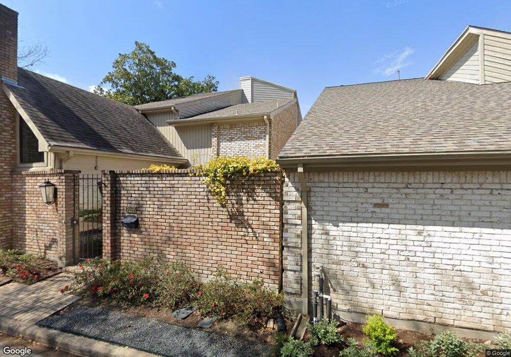
9667 Longmont Dr Houston, TX 77063
Mid West NeighborhoodEstimated Value: $502,000 - $571,116
3
Beds
3
Baths
3,283
Sq Ft
$165/Sq Ft
Est. Value
About This Home
This home is located at 9667 Longmont Dr, Houston, TX 77063 and is currently estimated at $541,779, approximately $165 per square foot. 9667 Longmont Dr is a home located in Harris County with nearby schools including Emerson Elementary School, Paul Revere Middle School, and Wisdom High School.
Ownership History
Date
Name
Owned For
Owner Type
Purchase Details
Closed on
May 14, 1996
Sold by
Dobbs Melinda and Calverley Melinda Kay
Bought by
Cavanagh Craig A and Fogle Patricia K
Current Estimated Value
Home Financials for this Owner
Home Financials are based on the most recent Mortgage that was taken out on this home.
Original Mortgage
$147,200
Outstanding Balance
$6,550
Interest Rate
5.5%
Estimated Equity
$535,229
Purchase Details
Closed on
Nov 30, 1995
Sold by
Calverley David Scott
Bought by
Calverley Melinda
Create a Home Valuation Report for This Property
The Home Valuation Report is an in-depth analysis detailing your home's value as well as a comparison with similar homes in the area
Home Values in the Area
Average Home Value in this Area
Purchase History
| Date | Buyer | Sale Price | Title Company |
|---|---|---|---|
| Cavanagh Craig A | -- | American Title Company | |
| Calverley Melinda | -- | American Title Company |
Source: Public Records
Mortgage History
| Date | Status | Borrower | Loan Amount |
|---|---|---|---|
| Open | Cavanagh Craig A | $147,200 | |
| Closed | Calverley Melinda | $0 |
Source: Public Records
Tax History Compared to Growth
Tax History
| Year | Tax Paid | Tax Assessment Tax Assessment Total Assessment is a certain percentage of the fair market value that is determined by local assessors to be the total taxable value of land and additions on the property. | Land | Improvement |
|---|---|---|---|---|
| 2025 | $1,907 | $445,351 | $110,000 | $335,351 |
| 2024 | $1,907 | $441,913 | $110,000 | $331,913 |
| 2023 | $1,907 | $446,533 | $110,000 | $336,533 |
| 2022 | $3,438 | $409,213 | $110,000 | $299,213 |
| 2021 | $8,744 | $364,432 | $97,900 | $266,532 |
| 2020 | $8,634 | $356,530 | $97,900 | $258,630 |
| 2019 | $9,128 | $360,733 | $102,300 | $258,433 |
| 2018 | $4,530 | $381,970 | $110,000 | $271,970 |
| 2017 | $10,274 | $406,329 | $110,000 | $296,329 |
| 2016 | $10,227 | $406,329 | $110,000 | $296,329 |
| 2015 | $4,736 | $392,667 | $110,000 | $282,667 |
| 2014 | $4,736 | $370,745 | $100,000 | $270,745 |
Source: Public Records
Map
Nearby Homes
- 9620 Doliver Dr
- 9632 Bayou Brook St
- 9618 Bayou Brook St
- 45 Bayou Pointe Dr
- 9518 Bayou Brook St
- 2100 Tanglewilde St Unit 750
- 2100 Tanglewilde St Unit 169
- 2100 Tanglewilde St Unit 536
- 2100 Tanglewilde St Unit 402
- 2100 Tanglewilde St Unit 422
- 2100 Tanglewilde St Unit 625
- 2100 Tanglewilde St Unit 131
- 2100 Tanglewilde St Unit 455
- 2100 Tanglewilde St Unit 600
- 2100 Tanglewilde St Unit 299
- 2100 Tanglewilde St Unit 378
- 30 E Rivercrest Dr
- 45 Patti Lynn Ln
- 6 Gessner Rd
- 9400 Doliver Dr Unit 70
- 9665 Longmont Dr
- 9663 Longmont Dr
- 9624 Doliver Dr
- 9622 Doliver Dr
- 9633 Bayou Brook St
- 9661 Longmont Dr
- 9631 Bayou Brook St
- 9659 Longmont Dr
- 9634 Bayou Brook St
- 9618 Doliver Dr
- 9629 Bayou Brook St
- 9657 Longmont Dr
- 9630 Bayou Brook St
- 9627 Bayou Brook St
- 9628 Bayou Brook St
- 9616 Doliver Dr
- 9655 Longmont Dr
- 9626 Bayou Brook St
- 9625 Bayou Brook St
- 4 Bayou Pointe Dr