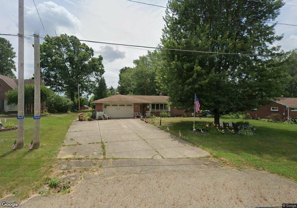
9668 Louisville St NE Louisville, OH 44641
Estimated Value: $210,000 - $300,000
3
Beds
4
Baths
1,538
Sq Ft
$160/Sq Ft
Est. Value
About This Home
This home is located at 9668 Louisville St NE, Louisville, OH 44641 and is currently estimated at $245,879, approximately $159 per square foot. 9668 Louisville St NE is a home located in Stark County with nearby schools including Louisville High School and St. Thomas Aquinas High School & Middle School.
Ownership History
Date
Name
Owned For
Owner Type
Purchase Details
Closed on
Sep 16, 2004
Sold by
Kiko Robert L and Kiko Elsie M
Bought by
Saunier Michelle A
Current Estimated Value
Home Financials for this Owner
Home Financials are based on the most recent Mortgage that was taken out on this home.
Original Mortgage
$80,000
Outstanding Balance
$40,162
Interest Rate
6.08%
Mortgage Type
Purchase Money Mortgage
Estimated Equity
$205,717
Purchase Details
Closed on
Oct 6, 2002
Sold by
Schmucker Elden J
Bought by
Kiko Robert L and Kiko Elsie M
Create a Home Valuation Report for This Property
The Home Valuation Report is an in-depth analysis detailing your home's value as well as a comparison with similar homes in the area
Home Values in the Area
Average Home Value in this Area
Purchase History
| Date | Buyer | Sale Price | Title Company |
|---|---|---|---|
| Saunier Michelle A | $130,000 | -- | |
| Kiko Robert L | $99,000 | -- |
Source: Public Records
Mortgage History
| Date | Status | Borrower | Loan Amount |
|---|---|---|---|
| Open | Saunier Michelle A | $80,000 |
Source: Public Records
Tax History Compared to Growth
Tax History
| Year | Tax Paid | Tax Assessment Tax Assessment Total Assessment is a certain percentage of the fair market value that is determined by local assessors to be the total taxable value of land and additions on the property. | Land | Improvement |
|---|---|---|---|---|
| 2025 | -- | $63,490 | $15,400 | $48,090 |
| 2024 | -- | $63,490 | $15,400 | $48,090 |
| 2023 | $2,289 | $56,250 | $10,890 | $45,360 |
| 2022 | $2,315 | $56,250 | $10,890 | $45,360 |
| 2021 | $2,322 | $56,250 | $10,890 | $45,360 |
| 2020 | $2,289 | $49,490 | $9,800 | $39,690 |
| 2019 | $2,298 | $49,490 | $9,800 | $39,690 |
| 2018 | $2,291 | $49,490 | $9,800 | $39,690 |
| 2017 | $2,254 | $46,480 | $9,170 | $37,310 |
| 2016 | $2,204 | $46,480 | $9,170 | $37,310 |
| 2015 | $2,210 | $46,480 | $9,170 | $37,310 |
| 2014 | $85 | $40,570 | $8,020 | $32,550 |
| 2013 | $1,046 | $40,570 | $8,020 | $32,550 |
Source: Public Records
Map
Nearby Homes
- 2015 E Main St
- 2110 Edmar St
- 1812 E Broad St
- 5495 Meese Rd NE
- 1715 High St
- 3390 Meese Rd NE
- 5765 Maplegrove St
- 0 Michigan Blvd
- 641 S Nickelplate St
- 308 Superior St
- 6052 N Nickelplate St
- 520 S Silver St
- 1170 Winding Ridge Ave
- 728 E Broad St
- 910 Crosswyck Cir
- 908 Sand Lot Cir
- 325 Lincoln Ave
- 204 E Broad St
- 510 S Bauman Ct
- 8225 Georgetown St
- 9668 Louisville St
- 9656 Louisville St
- 9680 Louisville St
- 9636 Louisville St
- 9706 Louisville St
- 9687 Louisville St
- 9604 Louisville St
- 9604 Louisville St NE
- 9647 Louisville St
- 4440 Swallen Ave
- 4420 Swallen Ave
- 9734 Louisville St
- 9721 Louisville St
- 9611 Louisville St
- 9580 Louisville St
- 4400 Swallen Ave
- 9682 Sommerville St
- 9745 Louisville St
- 9595 Louisville St
- 4364 Swallen Ave