9669 Maple Rd Birch Run, MI 48415
Estimated Value: $297,000 - $581,000
3
Beds
3
Baths
3,025
Sq Ft
$163/Sq Ft
Est. Value
About This Home
This home is located at 9669 Maple Rd, Birch Run, MI 48415 and is currently estimated at $492,905, approximately $162 per square foot. 9669 Maple Rd is a home located in Saginaw County with nearby schools including North Elementary School, Marshall Greene Middle School, and Birch Run High School.
Ownership History
Date
Name
Owned For
Owner Type
Purchase Details
Closed on
May 27, 2005
Sold by
Jerome Jerry W and Jerome Betty A
Bought by
Jerry W Jerome Trust and Jerome Jerry W
Current Estimated Value
Purchase Details
Closed on
Mar 20, 2003
Sold by
Kostick Robert J and Kostick Holli
Bought by
Jerome Jerry W and Jerome Betty A
Purchase Details
Closed on
Aug 26, 2002
Purchase Details
Closed on
Apr 16, 2001
Sold by
Vozza Angelo and Vozza Maria
Bought by
Ouellette Rene B
Create a Home Valuation Report for This Property
The Home Valuation Report is an in-depth analysis detailing your home's value as well as a comparison with similar homes in the area
Home Values in the Area
Average Home Value in this Area
Purchase History
| Date | Buyer | Sale Price | Title Company |
|---|---|---|---|
| Jerry W Jerome Trust | -- | -- | |
| Betty A Jerome Trust | -- | -- | |
| Jerome Jerry W | -- | -- | |
| -- | $39,900 | -- | |
| Kostick Robert J | $39,900 | -- | |
| Ouellette Rene B | $25,000 | -- |
Source: Public Records
Tax History
| Year | Tax Paid | Tax Assessment Tax Assessment Total Assessment is a certain percentage of the fair market value that is determined by local assessors to be the total taxable value of land and additions on the property. | Land | Improvement |
|---|---|---|---|---|
| 2025 | $1,840 | $285,400 | $0 | $0 |
| 2024 | $1,727 | $262,600 | $0 | $0 |
| 2023 | $1,645 | $237,300 | $0 | $0 |
| 2022 | $4,497 | $203,700 | $0 | $0 |
| 2021 | $4,111 | $187,400 | $0 | $0 |
| 2020 | $4,051 | $177,100 | $0 | $0 |
| 2019 | $3,856 | $164,400 | $23,300 | $141,100 |
| 2018 | $1,435 | $142,300 | $0 | $0 |
| 2017 | $3,486 | $135,500 | $0 | $0 |
| 2016 | $3,346 | $127,000 | $0 | $0 |
| 2014 | -- | $129,100 | $0 | $112,400 |
| 2013 | -- | $126,900 | $0 | $0 |
Source: Public Records
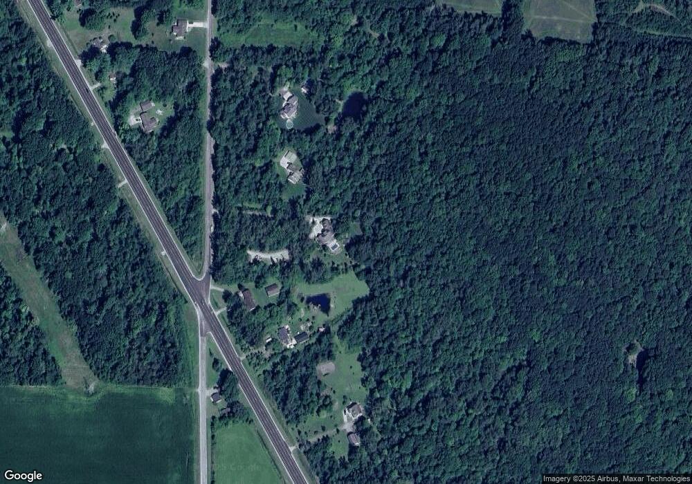
Map
Nearby Homes
- VL Busch (Parcel B) Rd
- VL Busch (Parcel A) Rd
- 6977 Rathbun Rd
- 8651 Canada Rd
- 9351 Lange Rd
- 0 Judd Rd
- VL S Beyer Rd
- 12095 Country Run Dr
- 7871 Oak Ct
- 9560 Birch Run Rd
- 12455 Church St
- 6450 Curtis Rd
- 9750 Marshall Rd
- VL Marshall Rd
- 11086 N Evergreen Dr
- 7720 Rookway Rd
- 226 List St
- 000 W Tuscola St
- 5125 Birch Run Rd
- 10 Harlan Ct
Your Personal Tour Guide
Ask me questions while you tour the home.