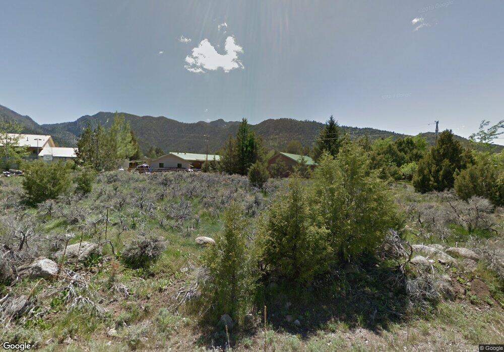
967 E Spring Creek Ln Pine Valley, UT 84781
Pine Valley NeighborhoodEstimated Value: $409,616 - $451,000
2
Beds
1
Bath
864
Sq Ft
$509/Sq Ft
Est. Value
About This Home
This home is located at 967 E Spring Creek Ln, Pine Valley, UT 84781 and is currently estimated at $439,904, approximately $509 per square foot. 967 E Spring Creek Ln is a home located in Washington County with nearby schools including Enterprise School and Enterprise High School.
Ownership History
Date
Name
Owned For
Owner Type
Purchase Details
Closed on
Nov 18, 2016
Sold by
Nielsen Dallin S and Nielsen Julie
Bought by
Nielsen Dallin Spencer and Nielsen Julie Marie Luke
Current Estimated Value
Home Financials for this Owner
Home Financials are based on the most recent Mortgage that was taken out on this home.
Original Mortgage
$146,250
Outstanding Balance
$117,413
Interest Rate
3.42%
Mortgage Type
New Conventional
Estimated Equity
$322,491
Purchase Details
Closed on
Aug 11, 2011
Sold by
Kremer Curtis and Kremer Sharon L
Bought by
Nielsen Dallin S and Nielsen Julie
Home Financials for this Owner
Home Financials are based on the most recent Mortgage that was taken out on this home.
Original Mortgage
$148,050
Interest Rate
4.46%
Mortgage Type
New Conventional
Purchase Details
Closed on
Mar 12, 2008
Sold by
Kremer Curtis and Kremer Sharon L
Bought by
Kremer Curtis and Kremer Sharon L
Create a Home Valuation Report for This Property
The Home Valuation Report is an in-depth analysis detailing your home's value as well as a comparison with similar homes in the area
Home Values in the Area
Average Home Value in this Area
Purchase History
| Date | Buyer | Sale Price | Title Company |
|---|---|---|---|
| Nielsen Dallin Spencer | -- | Mountain View Title | |
| Nielsen Dallin S | -- | Mountain View Title | |
| Nielsen Dallin S | -- | Southern Utah Title | |
| Kremer Curtis | -- | None Available |
Source: Public Records
Mortgage History
| Date | Status | Borrower | Loan Amount |
|---|---|---|---|
| Open | Nielsen Dallin S | $146,250 | |
| Closed | Nielsen Dallin S | $148,050 |
Source: Public Records
Tax History
| Year | Tax Paid | Tax Assessment Tax Assessment Total Assessment is a certain percentage of the fair market value that is determined by local assessors to be the total taxable value of land and additions on the property. | Land | Improvement |
|---|---|---|---|---|
| 2025 | $1,977 | $369,300 | $135,000 | $234,300 |
| 2023 | $1,900 | $320,700 | $115,000 | $205,700 |
| 2022 | $1,928 | $304,700 | $115,000 | $189,700 |
| 2021 | $1,884 | $246,000 | $70,200 | $175,800 |
| 2020 | $1,629 | $202,400 | $65,000 | $137,400 |
| 2019 | $1,479 | $179,800 | $55,000 | $124,800 |
| 2018 | $1,512 | $169,600 | $0 | $0 |
| 2017 | $1,481 | $166,100 | $0 | $0 |
| 2016 | $1,459 | $150,800 | $0 | $0 |
| 2015 | $1,506 | $149,700 | $0 | $0 |
| 2014 | $1,567 | $157,900 | $0 | $0 |
Source: Public Records
Map
Nearby Homes
- 296 S Cliff Rose Cir
- 55 Pine Acres Cir Unit 10
- 842 E Main St
- 1174 E 120 S
- 1210 E Bristle Cone Rd
- 436 E Main St
- 174 S Pine Valley Dr
- 61 N 100 W
- 82 N 400 W
- 780 W Hillside Dr
- 529 Mahogany Ln
- 880 W Main St
- 515 S Oak Ridge Cir
- 856 W Graff Cir
- 200 W 325 S
- 706 E Cottontail Rd
- 442 E Pine View Dr
- 342 E Foothill Cir
- 0 Hillcrest Cir
- 375 Hillcrest Cir
- 946 Mountain View Dr
- 953 E Spring Creek Ln
- 932 Mountain View Dr
- 932 E Mountain View Dr
- 920 E Mountain View Dr
- 920 Mountain View Dr
- 935 E Spring Creek Ln
- 952 E Spring Creek Ln
- 902 Mountain View Dr
- 931 Mountain View Cox Dr
- 919 E Mountain View Dr
- 938 E Spring Creek Ln
- 919 Mountain View Dr
- 919 E Spring Creek Ln
- 959 Mountain View Dr
- 903 Mountain View Dr
- 898 E Spring Creek Ln
- 189 S Brookside Dr
- 890 Mountain View Dr
- 0 E Spring Creek Ln
Your Personal Tour Guide
Ask me questions while you tour the home.