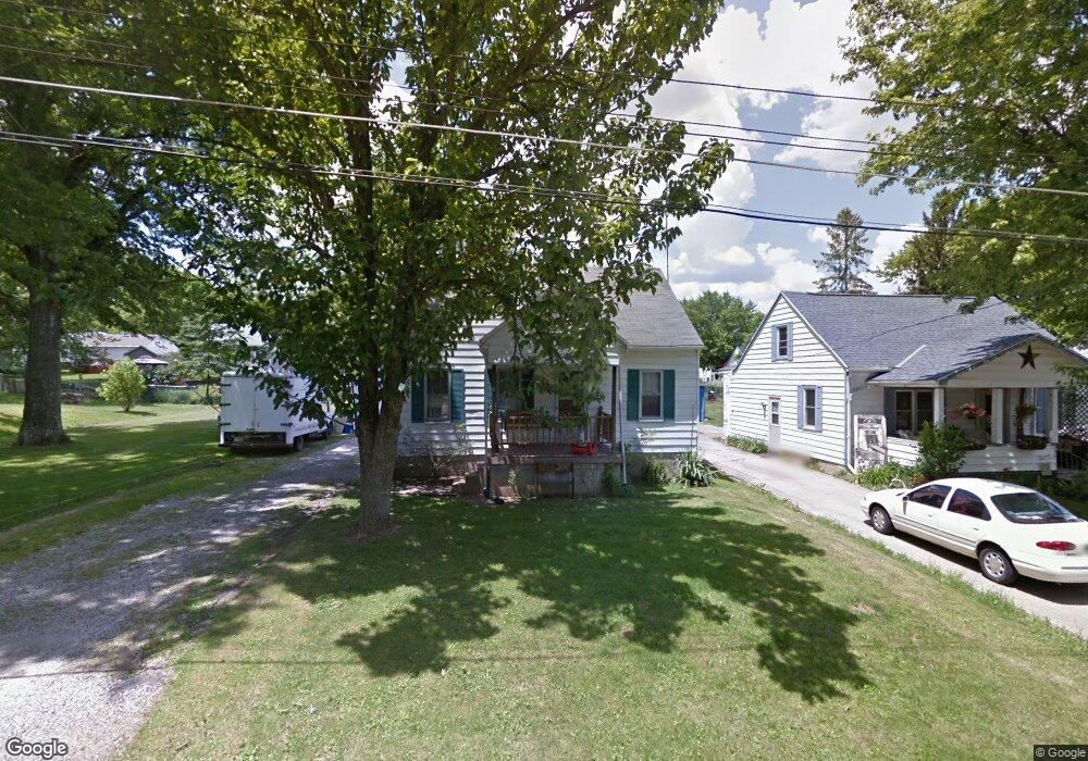
967 Herring Ave Mansfield, OH 44906
Estimated Value: $88,000 - $154,000
3
Beds
1
Bath
898
Sq Ft
$129/Sq Ft
Est. Value
About This Home
This home is located at 967 Herring Ave, Mansfield, OH 44906 and is currently estimated at $115,854, approximately $129 per square foot. 967 Herring Ave is a home located in Richland County with nearby schools including Foundation Academy, Mansfield Elective Academy, and Goal Digital Academy.
Ownership History
Date
Name
Owned For
Owner Type
Purchase Details
Closed on
Nov 16, 2011
Sold by
Smith Neil K
Bought by
Mock Judy and Mock David
Current Estimated Value
Purchase Details
Closed on
Nov 9, 1995
Sold by
Shr Jeffrey A Heichel Pr
Bought by
Smith Jeffrey R and Smith Nell R
Purchase Details
Closed on
Nov 30, 1993
Sold by
Heichel Jeffrey A
Bought by
Heichel Jeffrey A
Purchase Details
Closed on
Sep 25, 1991
Sold by
Silvey Carl R
Bought by
Heichel Jeffrey A
Purchase Details
Closed on
Aug 1, 1985
Create a Home Valuation Report for This Property
The Home Valuation Report is an in-depth analysis detailing your home's value as well as a comparison with similar homes in the area
Home Values in the Area
Average Home Value in this Area
Purchase History
| Date | Buyer | Sale Price | Title Company |
|---|---|---|---|
| Mock Judy | $18,600 | Southern Title | |
| Smith Jeffrey R | $27,000 | -- | |
| Heichel Jeffrey A | -- | -- | |
| Heichel Jeffrey A | $23,000 | -- | |
| -- | $34,000 | -- |
Source: Public Records
Tax History Compared to Growth
Tax History
| Year | Tax Paid | Tax Assessment Tax Assessment Total Assessment is a certain percentage of the fair market value that is determined by local assessors to be the total taxable value of land and additions on the property. | Land | Improvement |
|---|---|---|---|---|
| 2024 | $1,263 | $22,260 | $2,880 | $19,380 |
| 2023 | $1,263 | $22,260 | $2,880 | $19,380 |
| 2022 | $1,196 | $17,340 | $2,740 | $14,600 |
| 2021 | $1,189 | $17,340 | $2,740 | $14,600 |
| 2020 | $1,225 | $17,340 | $2,740 | $14,600 |
| 2019 | $1,170 | $14,750 | $2,320 | $12,430 |
| 2018 | $1,105 | $14,750 | $2,320 | $12,430 |
| 2017 | $1,076 | $14,750 | $2,320 | $12,430 |
| 2016 | $1,076 | $14,180 | $2,370 | $11,810 |
| 2015 | $1,076 | $14,180 | $2,370 | $11,810 |
| 2014 | $996 | $14,180 | $2,370 | $11,810 |
| 2012 | $417 | $14,930 | $2,500 | $12,430 |
Source: Public Records
Map
Nearby Homes
- 939 Country Club Dr
- 0 Herring Ave
- 946 Belmont Ave
- 933 Fairfax Ave
- 876 Fairfax Ave
- 874 Fairfax Ave
- 741 Burger Ave
- 1170 Fairfax Ave
- 0 Stone Rd
- 673 Armstrong St Unit 23
- 674 Averill Ave
- 641 Averill Ave
- 356 Warren Rd
- 0 Highway 30
- 1169 Seminole Ave
- 1168 & 1171 Seminole Ave
- 1234 Walker St
- 688 Mcpherson St
- 0 State Route 314 Unit 9069650
- 0 State Route 314 Unit 9067316
- 971 Herring Ave
- 977 Herring Ave
- 957 Herring Ave
- 964 Averill Ave
- 970 Averill Ave
- 981 Herring Ave
- 951 Herring Ave
- 954 Averill Ave
- 980 Averill Ave
- 987 Herring Ave
- 945 Herring Ave
- 950 Averill Ave
- 954 Herring Ave
- 978 Herring Ave
- 984 Averill Ave
- 944 Averill Ave
- 991 Herring Ave
- 982 Herring Ave
- 941 Herring Ave
- 940 Fairfax Ave