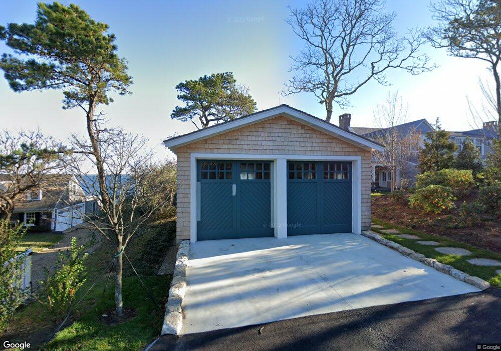
967 Main St Vineyard Haven, MA 02568
Vineyard Haven NeighborhoodEstimated Value: $2,710,000 - $9,673,026
5
Beds
5
Baths
3,222
Sq Ft
$2,184/Sq Ft
Est. Value
About This Home
This home is located at 967 Main St, Vineyard Haven, MA 02568 and is currently estimated at $7,036,675, approximately $2,183 per square foot. 967 Main St is a home with nearby schools including Tisbury Elementary School, Martha's Vineyard Regional High School, and Vineyard Montessori School.
Ownership History
Date
Name
Owned For
Owner Type
Purchase Details
Closed on
Apr 23, 2018
Sold by
Windswept Point Llc
Bought by
967 Main Street Llc
Current Estimated Value
Purchase Details
Closed on
Feb 22, 2008
Sold by
Knowles Emerson T
Bought by
Windswept Point Llc
Purchase Details
Closed on
Sep 27, 2004
Sold by
Knowles 3Rd T Harvey C
Bought by
Windswept Point Llc
Purchase Details
Closed on
Dec 30, 1992
Sold by
Knowles Emerson T and Knowles Harvey C
Bought by
Knowles Harvey C
Create a Home Valuation Report for This Property
The Home Valuation Report is an in-depth analysis detailing your home's value as well as a comparison with similar homes in the area
Home Values in the Area
Average Home Value in this Area
Purchase History
| Date | Buyer | Sale Price | Title Company |
|---|---|---|---|
| 967 Main Street Llc | -- | -- | |
| Windswept Point Llc | -- | -- | |
| Windswept Point Llc | -- | -- | |
| Knowles Harvey C | $68,400 | -- | |
| Knowles Harvey C | $68,400 | -- | |
| Knowles Harvey C | $235,000 | -- | |
| 967 Main Street Llc | -- | -- | |
| Windswept Point Llc | -- | -- | |
| Knowles Harvey C | $68,400 | -- |
Source: Public Records
Tax History Compared to Growth
Tax History
| Year | Tax Paid | Tax Assessment Tax Assessment Total Assessment is a certain percentage of the fair market value that is determined by local assessors to be the total taxable value of land and additions on the property. | Land | Improvement |
|---|---|---|---|---|
| 2025 | $72,670 | $9,599,700 | $8,475,800 | $1,123,900 |
| 2024 | $66,374 | $8,317,500 | $7,363,400 | $954,100 |
| 2023 | $58,747 | $8,025,600 | $7,014,700 | $1,010,900 |
| 2022 | $48,768 | $5,605,543 | $4,707,843 | $897,700 |
| 2021 | $49,720 | $5,422,000 | $4,707,800 | $714,200 |
| 2020 | $50,400 | $5,401,943 | $4,707,843 | $694,100 |
| 2019 | $49,520 | $5,400,200 | $4,707,800 | $692,400 |
| 2018 | $49,422 | $5,229,800 | $4,698,100 | $531,700 |
| 2017 | $45,686 | $5,014,900 | $4,502,900 | $512,000 |
| 2016 | $47,937 | $5,233,300 | $4,713,400 | $519,900 |
| 2015 | $46,323 | $5,193,200 | $4,713,400 | $479,800 |
Source: Public Records
Map
Nearby Homes
- 825 Main St
- 735 Franklin St
- 41 Crowell Ln
- 63 Crowell Ln
- 9 Hagerty Dr
- 64 Crowell Ln
- 5 Pine Tree Ln
- 28 Pine Tree Ln
- 113 Leonard Cir
- 33 Goethals Way
- 22 Clark Ave
- 00 Bernard Cir Unit 10
- 150 Cove Rd Unit 10
- 22 Old Lighthouse Rd
- 209 Cove Rd
- 185 Sandpiper Ln Unit 12
- 261 Sandpiper Ln Unit 12
- 36 Tashmoo Ave
- 151 Tashmoo Ave