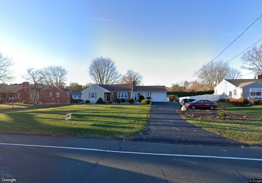
967 Maple St Wethersfield, CT 06109
Estimated Value: $373,000 - $404,000
3
Beds
2
Baths
1,371
Sq Ft
$284/Sq Ft
Est. Value
About This Home
This home is located at 967 Maple St, Wethersfield, CT 06109 and is currently estimated at $389,584, approximately $284 per square foot. 967 Maple St is a home located in Hartford County with nearby schools including Highcrest School, Silas Deane Middle School, and Wethersfield High School.
Ownership History
Date
Name
Owned For
Owner Type
Purchase Details
Closed on
Jul 10, 2024
Sold by
Skowronek Renata
Bought by
Skowronek Wojciech and Skowronek Peter
Current Estimated Value
Purchase Details
Closed on
Aug 31, 2000
Sold by
Leightsinger Dolores A
Bought by
Skowronek Eligiusz and Skowronek Renata
Home Financials for this Owner
Home Financials are based on the most recent Mortgage that was taken out on this home.
Original Mortgage
$112,000
Interest Rate
8.16%
Create a Home Valuation Report for This Property
The Home Valuation Report is an in-depth analysis detailing your home's value as well as a comparison with similar homes in the area
Home Values in the Area
Average Home Value in this Area
Purchase History
| Date | Buyer | Sale Price | Title Company |
|---|---|---|---|
| Skowronek Wojciech | -- | None Available | |
| Skowronek Eligiusz | $142,000 | -- |
Source: Public Records
Mortgage History
| Date | Status | Borrower | Loan Amount |
|---|---|---|---|
| Previous Owner | Skowronek Eligiusz | $87,500 | |
| Previous Owner | Skowronek Eligiusz | $112,000 |
Source: Public Records
Tax History
| Year | Tax Paid | Tax Assessment Tax Assessment Total Assessment is a certain percentage of the fair market value that is determined by local assessors to be the total taxable value of land and additions on the property. | Land | Improvement |
|---|---|---|---|---|
| 2025 | $9,429 | $228,740 | $90,850 | $137,890 |
| 2024 | $6,753 | $156,240 | $72,100 | $84,140 |
| 2023 | $6,528 | $156,240 | $72,100 | $84,140 |
| 2022 | $6,418 | $156,240 | $72,100 | $84,140 |
| 2021 | $6,354 | $156,240 | $72,100 | $84,140 |
| 2020 | $6,357 | $156,240 | $72,100 | $84,140 |
| 2019 | $6,365 | $156,240 | $72,100 | $84,140 |
| 2018 | $6,296 | $154,400 | $69,900 | $84,500 |
| 2017 | $6,140 | $154,400 | $69,900 | $84,500 |
| 2016 | $5,893 | $152,900 | $69,900 | $83,000 |
| 2015 | $5,839 | $152,900 | $69,900 | $83,000 |
| 2014 | $5,618 | $152,900 | $69,900 | $83,000 |
Source: Public Records
Map
Nearby Homes
- 186 Hang Dog Ln
- 268 Fox Hill Rd
- 72 Concord Dr
- 50 Concord Dr Unit 50
- 22 Winesap Cir Unit 22
- 25 Heather Hill
- 155 Old Common Rd
- 508 Highland St
- 25 Sutton Rd
- 9 Dogwood Ct
- 1610 Silas Deane Hwy
- 59 Chapin Ave
- 38 Butternut Ln
- 13 Robbins Ln Unit B
- 25 Hickory Ln Unit 25
- 5 Robeth Ln
- 3 Colonial Dr Unit C
- 6 Pearl Ln
- 39 Denyelle Dr Unit 39
- 0 Collier Rd
Your Personal Tour Guide
Ask me questions while you tour the home.