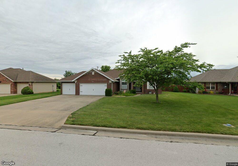
967 Megan Ln Willard, MO 65781
Estimated Value: $259,899 - $283,000
3
Beds
2
Baths
1,527
Sq Ft
$179/Sq Ft
Est. Value
About This Home
This home is located at 967 Megan Ln, Willard, MO 65781 and is currently estimated at $272,975, approximately $178 per square foot. 967 Megan Ln is a home located in Greene County with nearby schools including Willard Central Elementary School and Willard Intermediate School North.
Ownership History
Date
Name
Owned For
Owner Type
Purchase Details
Closed on
Mar 30, 2017
Sold by
Haukoos Donald D and Haukoos Marilyn J
Bought by
Haukoos Barry W and Haukoos Marilyn J
Current Estimated Value
Purchase Details
Closed on
Jul 28, 2011
Sold by
Haukoos Donald and Haukoos Marilyn
Bought by
Haukoos Donald and Haukoos Marilyn
Purchase Details
Closed on
Sep 30, 2005
Sold by
Goodman James D and Snider George Raymond
Bought by
Haukoos Donald and Haukoos Marilyn
Home Financials for this Owner
Home Financials are based on the most recent Mortgage that was taken out on this home.
Original Mortgage
$134,000
Outstanding Balance
$68,255
Interest Rate
5%
Mortgage Type
Adjustable Rate Mortgage/ARM
Estimated Equity
$204,720
Create a Home Valuation Report for This Property
The Home Valuation Report is an in-depth analysis detailing your home's value as well as a comparison with similar homes in the area
Home Values in the Area
Average Home Value in this Area
Purchase History
| Date | Buyer | Sale Price | Title Company |
|---|---|---|---|
| Haukoos Barry W | -- | None Available | |
| Haukoos Donald | -- | None Available | |
| Haukoos Donald | -- | Willard Title & Escrow |
Source: Public Records
Mortgage History
| Date | Status | Borrower | Loan Amount |
|---|---|---|---|
| Open | Haukoos Donald | $134,000 |
Source: Public Records
Tax History
| Year | Tax Paid | Tax Assessment Tax Assessment Total Assessment is a certain percentage of the fair market value that is determined by local assessors to be the total taxable value of land and additions on the property. | Land | Improvement |
|---|---|---|---|---|
| 2025 | $1,791 | $36,200 | $5,700 | $30,500 |
| 2024 | $1,791 | $28,920 | $4,370 | $24,550 |
| 2023 | $1,786 | $28,920 | $4,370 | $24,550 |
| 2022 | $1,509 | $24,850 | $4,370 | $20,480 |
| 2021 | $1,508 | $24,850 | $4,370 | $20,480 |
| 2020 | $1,534 | $24,850 | $4,370 | $20,480 |
| 2019 | $1,526 | $24,850 | $4,370 | $20,480 |
| 2018 | $1,523 | $24,430 | $4,370 | $20,060 |
| 2017 | $1,512 | $24,430 | $4,370 | $20,060 |
| 2016 | $1,508 | $24,430 | $4,370 | $20,060 |
| 2015 | $1,494 | $24,430 | $4,370 | $20,060 |
| 2014 | $1,511 | $24,430 | $4,370 | $20,060 |
Source: Public Records
Map
Nearby Homes
- 970 Owen Ln
- 465 E War Horse Ln
- 517 Osage Rd
- 486 Stone Creek Rd
- 503 Cedar Ln
- 484 Stone Creek Rd
- 482 Stone Creek Rd
- 476 Stone Creek Rd
- 475 Stone Creek Rd
- 473 Stone Creek Rd
- 471 Stone Creek Rd
- 823 Hoffman Hills Blvd
- 779 S Bent Tree Ave
- 479 S Summit Dr
- 460 Baird Ct
- 490 Lennox St
- 771 S Bent Tree Ave
- 461 Baird Ct
- 462 Baird Ct
- 464 Baird Ct
Your Personal Tour Guide
Ask me questions while you tour the home.