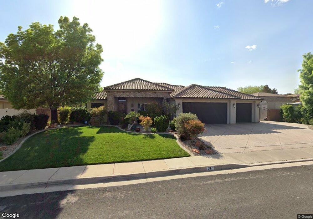
967 N 1950 E Saint George, UT 84770
Estimated Value: $524,000 - $545,000
3
Beds
2
Baths
1,980
Sq Ft
$268/Sq Ft
Est. Value
About This Home
This home is located at 967 N 1950 E, Saint George, UT 84770 and is currently estimated at $530,582, approximately $267 per square foot. 967 N 1950 E is a home located in Washington County with nearby schools including Sandstone School, Pine View Middle School, and Fossil Ridge Intermediate School.
Ownership History
Date
Name
Owned For
Owner Type
Purchase Details
Closed on
May 11, 2018
Sold by
Lee Kip Allen
Bought by
Bottoms Jim and Bottoms Susan
Current Estimated Value
Purchase Details
Closed on
Jan 10, 2008
Sold by
Lee Kip and Lee Brynn
Bought by
Lee Kip Allen and Lee Brynn
Home Financials for this Owner
Home Financials are based on the most recent Mortgage that was taken out on this home.
Original Mortgage
$314,000
Interest Rate
6.05%
Mortgage Type
New Conventional
Purchase Details
Closed on
Jul 12, 2007
Sold by
Qrs Development Inc
Bought by
Lee Kip and Lee Brynn
Home Financials for this Owner
Home Financials are based on the most recent Mortgage that was taken out on this home.
Original Mortgage
$261,600
Interest Rate
6.41%
Mortgage Type
Purchase Money Mortgage
Create a Home Valuation Report for This Property
The Home Valuation Report is an in-depth analysis detailing your home's value as well as a comparison with similar homes in the area
Purchase History
| Date | Buyer | Sale Price | Title Company |
|---|---|---|---|
| Bottoms Jim | -- | Infinity Title Agency Inc | |
| Lee Kip Allen | -- | Accommodation | |
| Lee Kip | -- | Southern Utah Title Co |
Source: Public Records
Mortgage History
| Date | Status | Borrower | Loan Amount |
|---|---|---|---|
| Previous Owner | Lee Kip Allen | $314,000 | |
| Previous Owner | Lee Kip | $261,600 |
Source: Public Records
Tax History
| Year | Tax Paid | Tax Assessment Tax Assessment Total Assessment is a certain percentage of the fair market value that is determined by local assessors to be the total taxable value of land and additions on the property. | Land | Improvement |
|---|---|---|---|---|
| 2025 | $1,933 | $283,470 | $82,500 | $200,970 |
| 2023 | $1,944 | $290,510 | $82,500 | $208,010 |
| 2022 | $2,072 | $291,170 | $68,750 | $222,420 |
| 2021 | $1,789 | $374,800 | $85,000 | $289,800 |
| 2020 | $1,683 | $332,200 | $75,000 | $257,200 |
| 2019 | $1,612 | $310,800 | $75,000 | $235,800 |
| 2018 | $1,487 | $148,005 | $0 | $0 |
| 2017 | $1,530 | $147,840 | $0 | $0 |
| 2016 | $1,546 | $138,160 | $0 | $0 |
| 2015 | $1,530 | $131,230 | $0 | $0 |
| 2014 | $1,484 | $128,040 | $0 | $0 |
Source: Public Records
Map
Nearby Homes
- 948 N 2050 East Cir
- 2056 E Middleton Dr Unit 36
- 1033 N 2050 East Cir
- 2031 E Colorado Dr Unit 204
- 2031 E Colorado Dr
- 0 E 1200 Cir N
- 1761 E 1150 N Unit 24
- 1761 E 1150 N
- 840 Twin Lakes Dr Unit 424
- 840 Twin Lakes Dr Unit 430
- 840 Twin Lakes Dr
- 840 Twin Lakes Dr Unit 419
- 840 Twin Lakes Dr Unit 111
- 840 Twin Lakes Dr Unit 228
- 840 Twin Lakes Dr Unit 414
- 0 Grand Heights Lot #64 Unit 26-270065
- 0 Grand Heights Lot #64 Unit 115160
- 0 Grand Heights Lot #66 Unit 26-270066
- 0 Grand Heights Lot #66 Unit 115161
- 0 Grand Heights Lot #36
- 968 N 1900 E
- 983 N 1950 E
- 949 N 1950 E
- 115 N 1950 E
- 0 N 1950 E
- 970 N 1950 E
- 984 N 1900 E
- 946 N 1900 E
- Lot 117 N 1950 E
- Lot 116 N 1950 E
- Lot 115 N 1950 E
- Lot 114 N 1950 E
- Lot 113 N 1950 E
- Lot 112 N 1950 E
- Lot 111 N 1950 E
- Lot 110 N 1950 E
- Lot 109 N 1950 E
- Lot 108 N 1950 E
- Lot 107 N 1950 E
- Lot 232 N 1950 E
Your Personal Tour Guide
Ask me questions while you tour the home.