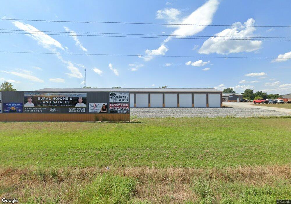
967 Route 37 Goreville, IL 62939
Estimated Value: $366,000
--
Bed
--
Bath
1,040
Sq Ft
$352/Sq Ft
Est. Value
About This Home
This home is located at 967 Route 37, Goreville, IL 62939 and is currently priced at $366,000, approximately $351 per square foot. 967 Route 37 is a home with nearby schools including Washington Elementary School, Marion Junior High School, and Marion High School.
Ownership History
Date
Name
Owned For
Owner Type
Purchase Details
Closed on
Jul 12, 2021
Sold by
Circuit Clerk Of Williamson County Illin
Bought by
Lingle Greg and Lingle Lucille
Current Estimated Value
Home Financials for this Owner
Home Financials are based on the most recent Mortgage that was taken out on this home.
Original Mortgage
$270,000
Interest Rate
2.9%
Mortgage Type
New Conventional
Purchase Details
Closed on
May 26, 2021
Sold by
Greg Lingle
Bought by
Knight Alex
Home Financials for this Owner
Home Financials are based on the most recent Mortgage that was taken out on this home.
Original Mortgage
$270,000
Interest Rate
2.9%
Mortgage Type
New Conventional
Create a Home Valuation Report for This Property
The Home Valuation Report is an in-depth analysis detailing your home's value as well as a comparison with similar homes in the area
Home Values in the Area
Average Home Value in this Area
Purchase History
| Date | Buyer | Sale Price | Title Company |
|---|---|---|---|
| Lingle Greg | -- | Johnson Schneider & Ferrell Ll | |
| Knight Alex | $280,000 | Johnson Schneider & Ferrell Ll |
Source: Public Records
Mortgage History
| Date | Status | Borrower | Loan Amount |
|---|---|---|---|
| Previous Owner | Knight Alex | $270,000 |
Source: Public Records
Tax History Compared to Growth
Tax History
| Year | Tax Paid | Tax Assessment Tax Assessment Total Assessment is a certain percentage of the fair market value that is determined by local assessors to be the total taxable value of land and additions on the property. | Land | Improvement |
|---|---|---|---|---|
| 2023 | $7,029 | $90,130 | $25,440 | $64,690 |
| 2022 | $7,029 | $90,130 | $25,440 | $64,690 |
| 2021 | $6,866 | $90,800 | $24,520 | $66,280 |
| 2020 | $6,866 | $85,790 | $23,170 | $62,620 |
| 2019 | $6,459 | $85,790 | $23,170 | $62,620 |
| 2018 | $6,459 | $85,790 | $23,170 | $62,620 |
| 2017 | $6,350 | $53,760 | $23,170 | $30,590 |
| 2015 | $3,895 | $50,930 | $21,950 | $28,980 |
| 2013 | $3,177 | $47,910 | $21,950 | $25,960 |
| 2012 | $3,177 | $47,910 | $21,950 | $25,960 |
Source: Public Records
Map
Nearby Homes
- 1921 Grange Hall Rd
- 0000 Teske Rd
- Tbd Country Club Rd
- 526 Power Plant Rd
- 000 Day Rd
- 11119 Adams Acres Dr
- Lot 82 & 83 Saluki Way
- Lot 80 & 81 Saluki Way
- 2585 Dylan Dr
- 8130 Southfork Rd
- 8090 Southfork Rd
- Lot 41 Luxor Landing Ln
- Lot 39 & 40 Luxor Landing Ln
- Lot 31 Luxor Landing
- 00 Eagle Point Bay Rd
- 00 Deer Trail
- 110 Cherokee Dr
- 410 Cherokee Dr
- Lot 211 Cherokee Dr
- 11952 Laguna Dr
- 956 Auburn Ln
- 880 Auburn Ln
- 9426 Maneese Ln
- 1046 Auburn Ln
- 1050 Route 37
- 9230 Maneese Ln
- 674 Route 37
- 615 Illinois 37
- 9184 Maneese Ln
- 559 Route 37
- 590 Illinois 37
- 10711 Day Rd
- 527 Birmingham Ln
- 590 Route 37
- 560 Route 37
- 513 Route 37
- 489 Birmingham Ln
- 477 Birmingham Ln
- 455 Birmingham Ln
- 9280 Montgomery Ln
