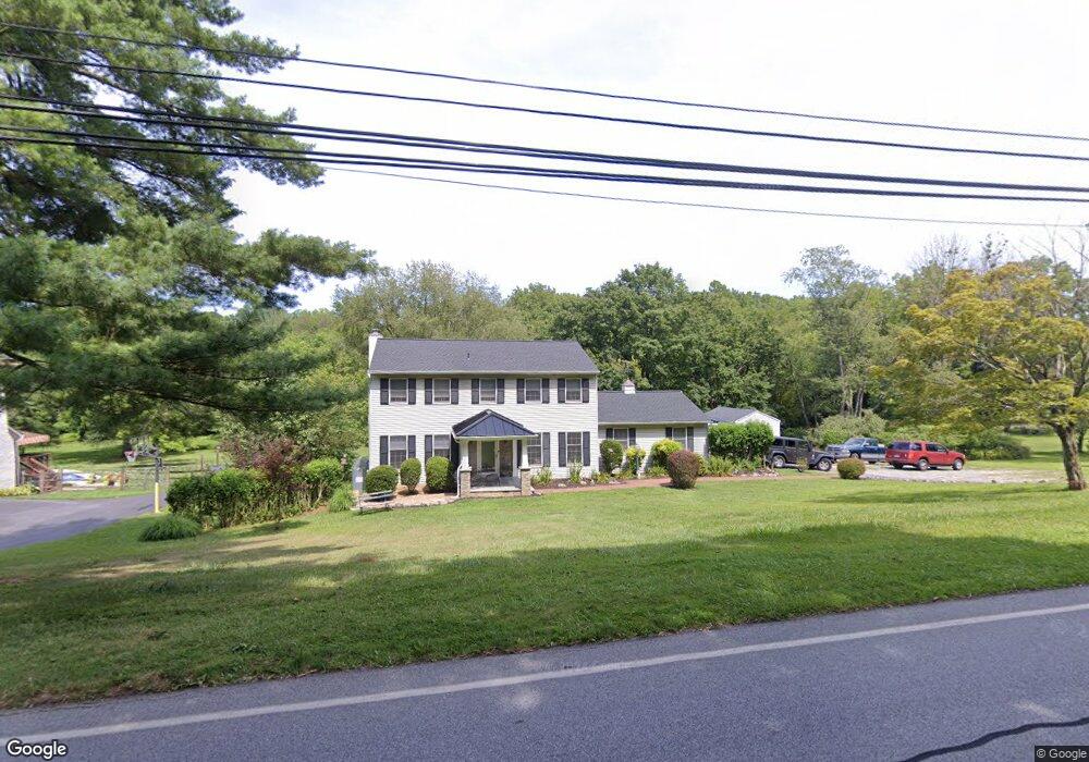
967 W Miner St West Chester, PA 19382
Estimated Value: $662,000 - $877,000
4
Beds
3
Baths
1,872
Sq Ft
$401/Sq Ft
Est. Value
About This Home
This home is located at 967 W Miner St, West Chester, PA 19382 and is currently estimated at $750,070, approximately $400 per square foot. 967 W Miner St is a home located in Chester County with nearby schools including Hillsdale Elementary School, E.N. Peirce Middle School, and Henderson High School.
Ownership History
Date
Name
Owned For
Owner Type
Purchase Details
Closed on
Apr 13, 2000
Sold by
Reinhardt Richard H and Reinhardt Lori Ann
Bought by
Cesare John J and Cesare Lizbeth W
Current Estimated Value
Home Financials for this Owner
Home Financials are based on the most recent Mortgage that was taken out on this home.
Original Mortgage
$164,250
Interest Rate
6.87%
Purchase Details
Closed on
Feb 9, 1996
Sold by
Beese Robert R and Beese Mary Ann
Bought by
Reinhardt Richard H and Reinhardt Lori Ann
Home Financials for this Owner
Home Financials are based on the most recent Mortgage that was taken out on this home.
Original Mortgage
$137,000
Interest Rate
7.1%
Create a Home Valuation Report for This Property
The Home Valuation Report is an in-depth analysis detailing your home's value as well as a comparison with similar homes in the area
Home Values in the Area
Average Home Value in this Area
Purchase History
| Date | Buyer | Sale Price | Title Company |
|---|---|---|---|
| Cesare John J | $219,000 | -- | |
| Reinhardt Richard H | $176,000 | -- |
Source: Public Records
Mortgage History
| Date | Status | Borrower | Loan Amount |
|---|---|---|---|
| Previous Owner | Cesare John J | $164,250 | |
| Previous Owner | Reinhardt Richard H | $137,000 |
Source: Public Records
Tax History Compared to Growth
Tax History
| Year | Tax Paid | Tax Assessment Tax Assessment Total Assessment is a certain percentage of the fair market value that is determined by local assessors to be the total taxable value of land and additions on the property. | Land | Improvement |
|---|---|---|---|---|
| 2025 | $5,580 | $192,500 | $53,300 | $139,200 |
| 2024 | $5,580 | $192,500 | $53,300 | $139,200 |
| 2023 | $5,532 | $192,500 | $53,300 | $139,200 |
| 2022 | $5,460 | $192,500 | $53,300 | $139,200 |
| 2021 | $5,299 | $191,190 | $53,300 | $137,890 |
| 2020 | $5,264 | $191,190 | $53,300 | $137,890 |
| 2019 | $5,094 | $191,190 | $53,300 | $137,890 |
| 2018 | $4,981 | $191,190 | $53,300 | $137,890 |
| 2017 | $4,869 | $191,190 | $53,300 | $137,890 |
| 2016 | $4,091 | $191,190 | $53,300 | $137,890 |
| 2015 | $4,091 | $191,190 | $53,300 | $137,890 |
| 2014 | $4,091 | $191,190 | $53,300 | $137,890 |
Source: Public Records
Map
Nearby Homes
- 203 Barn Hill Rd
- 861 Hillsdale Rd
- 414 Birmingham Rd
- 216 Yorkminster Rd Unit 1502
- 164 Mansion House Dr Unit 401A
- 759 Brettingham Ct Unit 505C
- 410 Allegiance Dr
- 255 Blue Rock Rd
- 289 Dressage Ct
- 724 W Nields St
- 1033 Lenape Rd
- 974 Regimental Dr
- Lot 10 Carolannes Way
- 741 Shropshire Dr
- 722 Scotch Way Unit C-26
- 765 Bradford Terrace Unit 238
- 368 Star Tavern Ln
- 616 W Chestnut St
- 303 Star Tavern Ln
- 345 Star Tavern Ln
- 969 W Miner St
- 965 W Miner St
- 904 Paxson Dr
- 2 Birmingham Rd
- 907 Paxson Dr
- 1 Bellbrook Dr
- 2 Bellbrook Dr
- 971 Wind Song Rd
- 935 W Miner St
- 972 Wind Song Rd
- 943 Jefferies Bridge Rd
- 936 W Miner St
- 905 Paxson Dr
- 973 Wind Song Rd
- 945 Jefferis Bridge Rd
- 947 Jefferies Bridge Rd
- 974 Wind Song Rd
- 6 Bellbrook Dr
- 98 Birmingham Rd
- 975 W Miner St