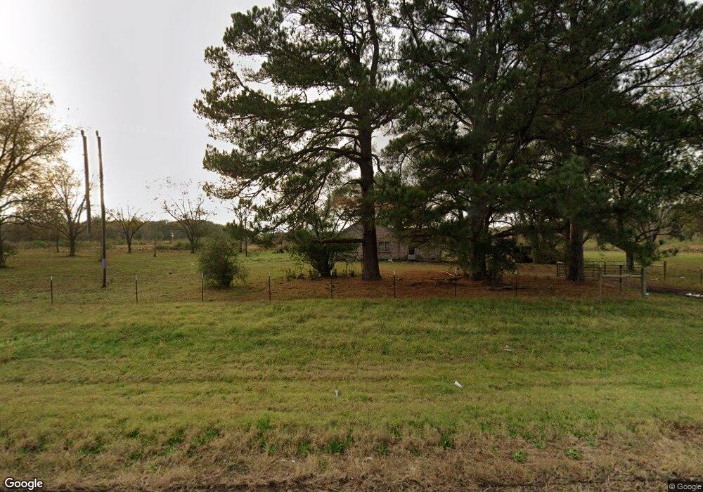
9670 Highway 31 N Lonoke, AR 72086
Estimated Value: $221,000 - $348,420
--
Bed
2
Baths
2,061
Sq Ft
$138/Sq Ft
Est. Value
About This Home
This home is located at 9670 Highway 31 N, Lonoke, AR 72086 and is currently estimated at $284,807, approximately $138 per square foot. 9670 Highway 31 N is a home located in Lonoke County with nearby schools including Lonoke Primary School, Lonoke Elementary School, and Lonoke Middle School.
Ownership History
Date
Name
Owned For
Owner Type
Purchase Details
Closed on
Apr 25, 2012
Sold by
Southerland Arnold Joe and Southerland Majorie Joan
Bought by
The Joe And Joan Southerland Joint Trust
Current Estimated Value
Purchase Details
Closed on
Apr 27, 1998
Bought by
Southerlands
Purchase Details
Closed on
Oct 25, 1985
Bought by
Ark State Land Comm
Create a Home Valuation Report for This Property
The Home Valuation Report is an in-depth analysis detailing your home's value as well as a comparison with similar homes in the area
Home Values in the Area
Average Home Value in this Area
Purchase History
| Date | Buyer | Sale Price | Title Company |
|---|---|---|---|
| The Joe And Joan Southerland Joint Trust | -- | None Available | |
| Southerlands | -- | -- | |
| House | -- | -- | |
| Ark State Land Comm | -- | -- |
Source: Public Records
Tax History Compared to Growth
Tax History
| Year | Tax Paid | Tax Assessment Tax Assessment Total Assessment is a certain percentage of the fair market value that is determined by local assessors to be the total taxable value of land and additions on the property. | Land | Improvement |
|---|---|---|---|---|
| 2025 | $413 | $6,840 | $2,720 | $4,120 |
| 2024 | $413 | $6,840 | $2,720 | $4,120 |
| 2023 | $413 | $6,840 | $2,720 | $4,120 |
| 2022 | $413 | $6,840 | $2,720 | $4,120 |
| 2021 | $809 | $15,220 | $2,720 | $12,500 |
| 2020 | $740 | $13,180 | $3,020 | $10,160 |
| 2019 | $715 | $13,180 | $3,020 | $10,160 |
| 2018 | $715 | $13,180 | $3,020 | $10,160 |
| 2017 | $617 | $13,180 | $3,020 | $10,160 |
| 2016 | $715 | $13,180 | $3,020 | $10,160 |
| 2015 | $843 | $15,780 | $3,510 | $12,270 |
| 2014 | $843 | $15,780 | $3,510 | $12,270 |
Source: Public Records
Map
Nearby Homes
- 10340 Hwy 31 N
- 10340 Highway 31 N
- 373 Heather Loop
- 354 Michelle Ln
- 1303 Highway 236 E
- 344 Mcfadden Rd
- 102 Bethlehem Rd
- 1443 Oak Grove Rd
- 2494 Arkansas 236
- 2236 Tippitt Rd
- 1145 Mccollum Rd
- 160 Oak Grove Rd
- 00 Hwy 321
- 0000 Clay Hill Rd
- Lot 18 Valley Brook Estates Ph 1
- Lot 31 Whitetail Ridge Rd
- 152 Whitetail Ridge Rd
- 146 Whitetail Ridge Rd
- 164 Whitetail Ridge Rd
- 3451 Tippitt Rd
- 101 Megan
- 9173 Highway 31 N
- 9173 Highway 31 N
- 123 Joyner Loop
- 8984 Highway 31 N
- 7989 Mount Tabor
- 7989 Mount Tabor
- 7989 Mount Tabor
- 404 Joyner Loop
- 9002 Highway 31 N
- 303 Megan
- 696 Joyner Loop
- 672 Joyner Loop
- 512 Joyner Loop
- 594 Joyner Loop
- N Highway 31
- 956 Joyner Loop
- 8980 Highway 31 N
- 300 Highway 236 E
- 7861 Mount Tabor