9670 Phillips Cemetery Rd Bentonville, AR 72712
Estimated Value: $272,719 - $561,000
--
Bed
1
Bath
1,740
Sq Ft
$253/Sq Ft
Est. Value
About This Home
This home is located at 9670 Phillips Cemetery Rd, Bentonville, AR 72712 and is currently estimated at $440,680, approximately $253 per square foot. 9670 Phillips Cemetery Rd is a home located in Benton County with nearby schools including Evening Star Elementary School, Bright Field Middle School, and Grimsley Junior High School.
Ownership History
Date
Name
Owned For
Owner Type
Purchase Details
Closed on
Jan 30, 2024
Sold by
Parsley Blake
Bought by
Parsley Blake and Parsley Danny
Current Estimated Value
Home Financials for this Owner
Home Financials are based on the most recent Mortgage that was taken out on this home.
Original Mortgage
$224,560
Outstanding Balance
$220,371
Interest Rate
6.61%
Mortgage Type
New Conventional
Estimated Equity
$220,309
Purchase Details
Closed on
May 31, 2011
Sold by
Timber Oaks Llc
Bought by
Anb Venture Llc
Purchase Details
Closed on
Jan 9, 2006
Sold by
Stines Chad and Stines Stephanie
Bought by
Anb Financial N A
Purchase Details
Closed on
Oct 31, 2005
Sold by
Hinds Carol S
Bought by
Parsley Terri
Purchase Details
Closed on
Jan 23, 2001
Bought by
Stines C
Create a Home Valuation Report for This Property
The Home Valuation Report is an in-depth analysis detailing your home's value as well as a comparison with similar homes in the area
Home Values in the Area
Average Home Value in this Area
Purchase History
| Date | Buyer | Sale Price | Title Company |
|---|---|---|---|
| Parsley Blake | -- | Realty Title | |
| Parsley Blake | $280,700 | Realty Title | |
| Anb Venture Llc | $1,750,000 | None Available | |
| Anb Financial N A | $30,000 | None Available | |
| Parsley Terri | $250,000 | None Available | |
| Stines C | -- | -- |
Source: Public Records
Mortgage History
| Date | Status | Borrower | Loan Amount |
|---|---|---|---|
| Open | Parsley Blake | $224,560 |
Source: Public Records
Tax History Compared to Growth
Tax History
| Year | Tax Paid | Tax Assessment Tax Assessment Total Assessment is a certain percentage of the fair market value that is determined by local assessors to be the total taxable value of land and additions on the property. | Land | Improvement |
|---|---|---|---|---|
| 2025 | $1,944 | $34,588 | $17,000 | $17,588 |
| 2024 | $1,327 | $34,588 | $17,000 | $17,588 |
| 2023 | $1,207 | $24,560 | $8,200 | $16,360 |
| 2022 | $1,143 | $24,560 | $8,200 | $16,360 |
| 2021 | $1,045 | $24,560 | $8,200 | $16,360 |
| 2020 | $959 | $16,480 | $3,400 | $13,080 |
| 2019 | $959 | $16,480 | $3,400 | $13,080 |
| 2018 | $959 | $16,480 | $3,400 | $13,080 |
| 2017 | $928 | $16,480 | $3,400 | $13,080 |
| 2016 | $928 | $16,480 | $3,400 | $13,080 |
| 2015 | $837 | $14,860 | $2,550 | $12,310 |
| 2014 | $837 | $14,860 | $2,550 | $12,310 |
Source: Public Records
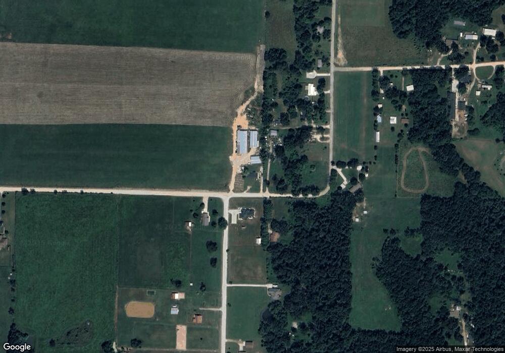
Map
Nearby Homes
- 10475 Roberts Rd
- 10791 SW Grand Summit Ln
- 0 Phillips Cemetary
- 0 Phillips Cemetary Unit 1307926
- 4424 S 88th St
- 0 Hwy 112 and N Wallis Rd Unit Lot B 1269862
- 0 Hwy 112 and N Wallis Rd Unit Lot E 1269870
- 0 Hwy 112 and N Wallis Rd Unit Lot D 1269867
- 0 Hwy 112 and N Wallis Rd Unit Lot A 1269859
- 0 Hwy 112 and N Wallis Rd Unit Lot C 1269864
- 8605 W Birdsong Ln
- 8908 W Milky Way
- 8811 W Milky Way
- 868 N Main St
- 9739 Soaring Hawk Dr
- 4309 S 88th St
- 4305 S 88th St
- 8209 W Comet Dr
- 8804 W Tuttle Rd
- 4303 S 88th St
- 9674 Phillips Cemetery Rd
- 10620 Murdock Rd
- 6.39 Ac Murdock Rd
- 9711 Phillips Cemetery Rd
- 9661 Phillips Cemetery Rd
- 4 Ac Phillips Cemetery Rd
- 10529 Roberts Rd
- 10539 Roberts Rd
- 10525 Roberts Rd
- 10588 Roberts Rd
- 10700 Murdock Rd
- 10511 Roberts Rd
- 10701 Murdock Rd
- 621 Pace Ln
- 10443 Roberts Rd
- Tract 2 Pace Ln
- 10784 Murdock Rd
- Tract 3 Pace Ln
- 718 Evening Star Rd
- 10381 Roberts Rd