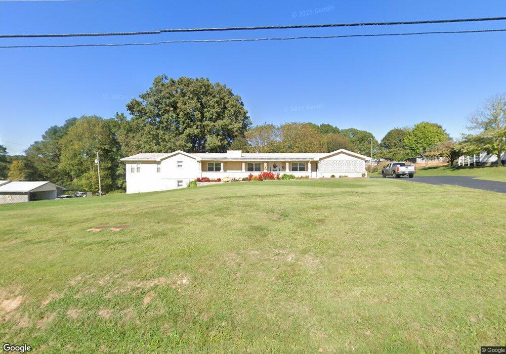
9671 Highway 41 Ringgold, GA 30736
Keith NeighborhoodEstimated Value: $296,000 - $432,000
3
Beds
3
Baths
2,814
Sq Ft
$134/Sq Ft
Est. Value
About This Home
This home is located at 9671 Highway 41, Ringgold, GA 30736 and is currently estimated at $377,350, approximately $134 per square foot. 9671 Highway 41 is a home located in Catoosa County with nearby schools including Tiger Creek Elementary School, Ringgold Middle School, and Ringgold High School.
Ownership History
Date
Name
Owned For
Owner Type
Purchase Details
Closed on
Mar 6, 2000
Sold by
Southern Financial
Bought by
Gibson Jack and Gibson Juanita
Current Estimated Value
Purchase Details
Closed on
Sep 30, 1999
Sold by
Ryans John P
Bought by
Southern Financial
Purchase Details
Closed on
Aug 1, 1996
Sold by
Wilson Charles and Wilson David
Bought by
Ryans John P
Purchase Details
Closed on
Jun 25, 1992
Sold by
Wilson Charles D
Bought by
Wilson Charles and Wilson David
Create a Home Valuation Report for This Property
The Home Valuation Report is an in-depth analysis detailing your home's value as well as a comparison with similar homes in the area
Home Values in the Area
Average Home Value in this Area
Purchase History
| Date | Buyer | Sale Price | Title Company |
|---|---|---|---|
| Gibson Jack | $110,000 | -- | |
| Southern Financial | -- | -- | |
| Ryans John P | $91,000 | -- | |
| Wilson Charles | -- | -- |
Source: Public Records
Tax History
| Year | Tax Paid | Tax Assessment Tax Assessment Total Assessment is a certain percentage of the fair market value that is determined by local assessors to be the total taxable value of land and additions on the property. | Land | Improvement |
|---|---|---|---|---|
| 2025 | $554 | $123,402 | $10,480 | $112,922 |
| 2024 | $770 | $126,421 | $17,581 | $108,840 |
| 2023 | $722 | $102,257 | $17,581 | $84,676 |
| 2022 | $616 | $87,767 | $17,581 | $70,186 |
| 2021 | $489 | $87,767 | $17,581 | $70,186 |
| 2020 | $1,805 | $77,986 | $17,581 | $60,405 |
| 2019 | $461 | $75,173 | $14,768 | $60,405 |
| 2018 | $1,857 | $75,173 | $14,768 | $60,405 |
| 2017 | $505 | $76,660 | $14,768 | $61,892 |
| 2016 | $507 | $73,508 | $14,768 | $58,739 |
| 2015 | -- | $73,508 | $14,768 | $58,739 |
| 2014 | -- | $73,508 | $14,768 | $58,739 |
| 2013 | -- | $73,507 | $14,768 | $58,739 |
Source: Public Records
Map
Nearby Homes
- 87 Creeks Bend Dr
- 180 Creeks Bend Dr
- 9112 Highway 41
- 545 Salem Valley Rd
- 0 Clearview Dr Unit 1522993
- 1 Forest Dr
- Lot 2 Forest Dr
- 00 Majestic Heights
- 0 Cherokee Lake Dr Unit 129187
- 1653 Clearview Dr
- 0 Inman St
- 463 Cotter St
- 55 Condo Cir
- 0 Greenwood Rd Unit RTC3013946
- 0 Greenwood Rd Unit 1522046
- 1822 Cherokee Valley Rd
- 20 Ridge St
- 11759 Highway 41
- 655 Bandy Rd
- 153 Willowind Ln
- 43 Merilyn Dr
- 9639 Highway 41
- 63 Merilyn Dr
- 30 Merilyn Dr
- 15 Catoosa Station Rd
- 15 Catoosa Station Rd Unit 3
- 9678 Highway 41
- 1 Catoosa Station Rd
- 9700 Catoosa Station Rd
- 0 Catoosa Station Rd Unit 1255378
- 0 Catoosa Station Rd Unit 1155140
- 0 Catoosa Station Rd Unit 1073762
- 0 Catoosa Station Rd Unit RTC2321778
- 35 Catoosa Station Rd
- 35 Catoosa Station Rd Unit 2
- 64 Merilyn Dr
- 121 Merilyn Dr
- 9755 Highway 41
- 51 Catoosa Station Rd
- 51 Catoosa Station Rd Unit 1
Your Personal Tour Guide
Ask me questions while you tour the home.