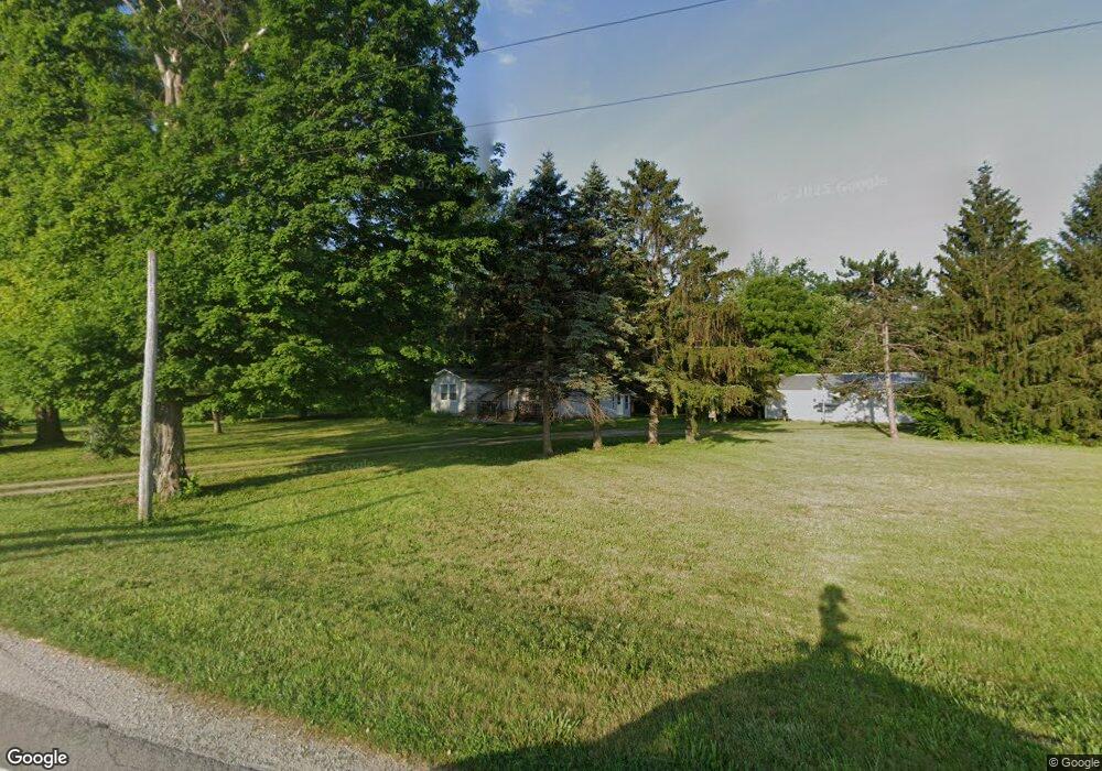
9671 State Route 571 Arcanum, OH 45304
Estimated Value: $194,241 - $329,000
3
Beds
1
Bath
936
Sq Ft
$270/Sq Ft
Est. Value
About This Home
This home is located at 9671 State Route 571, Arcanum, OH 45304 and is currently estimated at $252,747, approximately $270 per square foot. 9671 State Route 571 is a home located in Darke County with nearby schools including Franklin Monroe Elementary School and Franklin Monroe High School.
Ownership History
Date
Name
Owned For
Owner Type
Purchase Details
Closed on
Jul 27, 2022
Sold by
Osting Antoinette J
Bought by
Bowyer Family Irrevocable Trust
Current Estimated Value
Create a Home Valuation Report for This Property
The Home Valuation Report is an in-depth analysis detailing your home's value as well as a comparison with similar homes in the area
Home Values in the Area
Average Home Value in this Area
Purchase History
| Date | Buyer | Sale Price | Title Company |
|---|---|---|---|
| Bowyer Family Irrevocable Trust | -- | -- | |
| Osting Antoinette J | $166 | Durnell-Maier Elizabeth A | |
| Osting Antoinette J | $166 | Durnell-Maier Elizabeth A | |
| Bowyer Phil L | -- | Durnell-Maier Elizabeth A | |
| Bowyer Phil L | -- | Durnell-Maier Elizabeth A |
Source: Public Records
Tax History Compared to Growth
Tax History
| Year | Tax Paid | Tax Assessment Tax Assessment Total Assessment is a certain percentage of the fair market value that is determined by local assessors to be the total taxable value of land and additions on the property. | Land | Improvement |
|---|---|---|---|---|
| 2024 | $1,735 | $51,660 | $22,230 | $29,430 |
| 2023 | $1,738 | $51,660 | $22,230 | $29,430 |
| 2022 | $1,381 | $44,540 | $22,070 | $22,470 |
| 2021 | $1,394 | $44,540 | $22,070 | $22,470 |
| 2020 | $1,431 | $44,540 | $22,070 | $22,470 |
| 2019 | $1,150 | $40,650 | $21,110 | $19,540 |
| 2018 | $1,162 | $40,650 | $21,110 | $19,540 |
| 2017 | $1,071 | $40,650 | $21,110 | $19,540 |
| 2016 | $983 | $37,990 | $17,830 | $20,160 |
| 2015 | $983 | $37,990 | $17,830 | $20,160 |
| 2014 | $990 | $37,990 | $17,830 | $20,160 |
| 2013 | $988 | $35,880 | $17,550 | $18,330 |
Source: Public Records
Map
Nearby Homes
- 0 N Furlong Rd
- 2255 Red River-West Grove Rd
- 2255 Red River West Grove Rd
- 111 E Pike St
- 13 Laura Cir
- 11299 Coppock Rd
- 11863 Hall Rd
- 200 N Jefferson St
- 220 Baker St
- 508 S Jefferson St
- 9980 Ohio 718
- 0 Delisle Fourman Rd
- 2288 N State Route 721
- 8784 Grubbs Rex Rd
- 2546 Gordon Landis Rd
- 8746 Grubbs Rex Rd
- 2211 S State Route 48
- 115 Vine St
- 7231 Dull Rd
- 1 N Main St
- 0 Ohio 571
- 9770 State Route 571
- 9819 St Rt 571
- 3288 Red River West Grove Rd
- 9552 Delisle Fourman Rd
- 9552 Delisle Fourman Rd Unit Arcanum
- 9538 Delisle Fourman Rd
- 9803 State Route 571
- 9524 Delisle Fourman Rd
- 9562 State Route 571
- 3494 Red River West Grove Rd
- 9510 Delisle Fourman Rd
- 9536 State Route 571
- 3523 Red River West Grove Rd
- 9383 State Route 571
- 9894 State Route 571
- 9895 State Route 571
- 9428 State Route 571
- 3095 Aldrich Rd
- 9892 State Route 571