9671 W Moorestown Rd Manton, MI 49663
Estimated Value: $198,000 - $262,000
--
Bed
--
Bath
--
Sq Ft
1
Acres
About This Home
This home is located at 9671 W Moorestown Rd, Manton, MI 49663 and is currently estimated at $221,341. 9671 W Moorestown Rd is a home located in Missaukee County with nearby schools including Manton Consolidated Elementary School, Manton Consolidated Middle School, and Manton Consolidated High School.
Ownership History
Date
Name
Owned For
Owner Type
Purchase Details
Closed on
Oct 16, 2007
Sold by
Deutsche Bank And Trust Company
Bought by
Swihart Robert and Chavis Gabriel
Current Estimated Value
Purchase Details
Closed on
Aug 18, 2006
Sold by
Nettle Edard L
Bought by
Deutsche Bank National Trust Company
Purchase Details
Closed on
Nov 23, 2005
Sold by
Whaley Robert D and Whaley Jeannette
Bought by
Brewer William and Brewer Cindy
Purchase Details
Closed on
Mar 4, 2005
Sold by
Craig S Craig S and Longstreet Andrea L
Bought by
Whaley Robert D
Create a Home Valuation Report for This Property
The Home Valuation Report is an in-depth analysis detailing your home's value as well as a comparison with similar homes in the area
Home Values in the Area
Average Home Value in this Area
Purchase History
| Date | Buyer | Sale Price | Title Company |
|---|---|---|---|
| Swihart Robert | $30,000 | -- | |
| Deutsche Bank National Trust Company | $61,200 | -- | |
| Brewer William | $80,000 | -- | |
| Whaley Robert D | $73,404 | -- |
Source: Public Records
Tax History Compared to Growth
Tax History
| Year | Tax Paid | Tax Assessment Tax Assessment Total Assessment is a certain percentage of the fair market value that is determined by local assessors to be the total taxable value of land and additions on the property. | Land | Improvement |
|---|---|---|---|---|
| 2025 | $1,265 | $82,900 | $82,900 | $0 |
| 2024 | $273 | $76,900 | $76,900 | $0 |
| 2023 | $1,070 | $69,900 | $69,900 | $0 |
| 2022 | $248 | $65,900 | $65,900 | $0 |
| 2021 | $1,057 | $61,700 | $61,700 | $0 |
| 2020 | $238 | $52,100 | $52,100 | $0 |
| 2019 | $233 | $50,200 | $50,200 | $0 |
| 2018 | $1,010 | $38,900 | $0 | $0 |
| 2017 | $989 | $39,900 | $0 | $0 |
| 2016 | $979 | $37,400 | $0 | $0 |
| 2015 | -- | $34,100 | $0 | $0 |
| 2014 | -- | $23,000 | $0 | $0 |
Source: Public Records
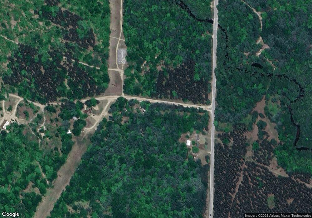
Map
Nearby Homes
- 0 W Arnold Rd
- VL W Phelps Rd
- 40 Acres N Truesdale Rd
- 10600 W Rhoby Rd
- 8731 N Morey Rd
- 00 W Phelps Rd
- 13661 Grand Kal Rd SW
- 13045 Coster Rd SW
- 00 W Moorestown Rd
- 000 E 12 Rd
- 12525 Coster Rd SW
- 5830 N 47 Rd
- 11625 East Dr
- 11703 East Dr
- 4273 N Dickerson Rd
- 10610 W Walker Rd
- 0 E 12 3 4 Rd
- 0 N 43 1 2 Rd Unit C 1932062
- 0 Ramsay Rd Unit 1937213
- Parcel B1 W Packingham Rd
- 9671 W Moorestown Rd
- 9647 W Moorestown Rd
- 9647 W Moorestown Rd
- 9647 W Moorestown Rd
- 9645 W Moorestown Rd
- 9735 W Moorestown Rd
- 9741 W Moorestown Rd
- 9741 W Moorestown Rd
- 9741 W Moorestown Rd
- 8873 N Lucas Rd
- 9991 W Moorestown Rd
- 8955 N Lucas Rd
- 8500 N Lucas Rd
- 8500 N Lucas Rd Unit 12
- 8402 N Lucas Rd
- 8539 N Lucas Rd
- 8484 N Lucas Rd
- 8550 N Lucas Rd
- 8300 N Lucas Rd
- 8221 N Lucas Rd