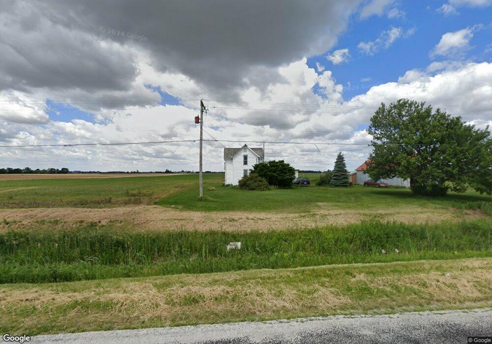
9677 Custar Rd Custar, OH 43511
Estimated Value: $88,000 - $154,000
3
Beds
1
Bath
926
Sq Ft
$118/Sq Ft
Est. Value
About This Home
This home is located at 9677 Custar Rd, Custar, OH 43511 and is currently estimated at $109,341, approximately $118 per square foot. 9677 Custar Rd is a home located in Wood County with nearby schools including Bowling Green High School.
Ownership History
Date
Name
Owned For
Owner Type
Purchase Details
Closed on
Jan 10, 2013
Sold by
Wenzlick William C
Bought by
Maple Point Farms Llc
Current Estimated Value
Home Financials for this Owner
Home Financials are based on the most recent Mortgage that was taken out on this home.
Original Mortgage
$34,400
Outstanding Balance
$5,402
Interest Rate
3.31%
Mortgage Type
Future Advance Clause Open End Mortgage
Estimated Equity
$103,939
Purchase Details
Closed on
Dec 8, 2009
Sold by
Schneider Jon W and Schneider Alyce K
Bought by
Wenzlick William C
Home Financials for this Owner
Home Financials are based on the most recent Mortgage that was taken out on this home.
Original Mortgage
$38,400
Interest Rate
4.84%
Mortgage Type
New Conventional
Create a Home Valuation Report for This Property
The Home Valuation Report is an in-depth analysis detailing your home's value as well as a comparison with similar homes in the area
Purchase History
| Date | Buyer | Sale Price | Title Company |
|---|---|---|---|
| Maple Point Farms Llc | $43,000 | None Available | |
| Wenzlick William C | $38,000 | Attorney |
Source: Public Records
Mortgage History
| Date | Status | Borrower | Loan Amount |
|---|---|---|---|
| Open | Maple Point Farms Llc | $34,400 | |
| Previous Owner | Wenzlick William C | $38,400 |
Source: Public Records
Tax History
| Year | Tax Paid | Tax Assessment Tax Assessment Total Assessment is a certain percentage of the fair market value that is determined by local assessors to be the total taxable value of land and additions on the property. | Land | Improvement |
|---|---|---|---|---|
| 2025 | $959 | $24,360 | $11,305 | $13,055 |
| 2024 | $953 | $24,360 | $11,305 | $13,055 |
| 2023 | $953 | $24,370 | $11,310 | $13,060 |
| 2021 | $825 | $21,040 | $9,380 | $11,660 |
| 2020 | $804 | $21,040 | $9,380 | $11,660 |
| 2019 | $754 | $18,450 | $8,820 | $9,630 |
| 2018 | $750 | $18,450 | $8,820 | $9,630 |
| 2017 | $712 | $18,450 | $8,820 | $9,630 |
| 2016 | $658 | $16,280 | $7,000 | $9,280 |
| 2015 | $658 | $16,280 | $7,000 | $9,280 |
| 2014 | $693 | $16,280 | $7,000 | $9,280 |
| 2013 | $750 | $16,280 | $7,000 | $9,280 |
Source: Public Records
Map
Nearby Homes
- 23117 Defiance Pike
- 22759 Defiance Pike
- 20210 Oak St
- 24642 Hammansburg Rd
- 22487 U S 6
- 117 Meadow Ln
- 115 Meadow Ln
- 113 N Meadow Ln
- 116 Meadow Ln
- 119 N Harvest St
- 112 N Harvest Dr
- 121 N Harvest St
- 118 N Harvest Dr
- 120 N Harvest Dr
- 102 N Harvest Dr
- 107 N Harvest St
- 125 N Harvest Dr
- 117 N Harvest St
- 123 N Harvest St
- 104 N Harvest Dr
- 9465 Custar Rd
- 9795 Custar Rd
- 9876 Custar Rd
- 23114 Mermill Rd
- 9275 Custar Rd
- 22862 Mermill Rd
- 9238 Custar Rd
- 9225 Custar Rd
- 22375 Mermill Rd
- 9188 Custar Rd
- 23368 Mermill Rd
- 9175 Custar Rd
- 9172 Custar Rd
- 22573 Mermill Rd
- 22190 Mermill Rd
- 9148 Custar Rd
- 9127 Custar Rd
- 23505 Mermill Rd
- 23505 Mermill Rd
- 9322 Wentz Rd
Your Personal Tour Guide
Ask me questions while you tour the home.