9677 Myrtle Grove Ln Easton, MD 21601
Estimated Value: $1,005,000 - $5,663,484
--
Bed
5
Baths
1,587
Sq Ft
$2,101/Sq Ft
Est. Value
About This Home
This home is located at 9677 Myrtle Grove Ln, Easton, MD 21601 and is currently estimated at $3,334,242, approximately $2,100 per square foot. 9677 Myrtle Grove Ln is a home located in Talbot County with nearby schools including St. Michaels Elementary School, St. Michaels Middle/High School, and Easton High School.
Ownership History
Date
Name
Owned For
Owner Type
Purchase Details
Closed on
Jun 8, 2013
Sold by
Miller Patrice R
Bought by
Miller Patrice R and The Patrice R Miller Revocable
Current Estimated Value
Purchase Details
Closed on
Aug 26, 2012
Sold by
Irrevocable Inter Vivos Trust For The Be
Bought by
Patrice R Miller Irrevocable Trust Dtd 1
Create a Home Valuation Report for This Property
The Home Valuation Report is an in-depth analysis detailing your home's value as well as a comparison with similar homes in the area
Home Values in the Area
Average Home Value in this Area
Purchase History
| Date | Buyer | Sale Price | Title Company |
|---|---|---|---|
| Miller Patrice R | -- | None Available | |
| Miller Patrice R | -- | None Available | |
| Patrice R Miller Irrevocable Trust Dtd 1 | -- | None Available |
Source: Public Records
Tax History Compared to Growth
Tax History
| Year | Tax Paid | Tax Assessment Tax Assessment Total Assessment is a certain percentage of the fair market value that is determined by local assessors to be the total taxable value of land and additions on the property. | Land | Improvement |
|---|---|---|---|---|
| 2025 | $35,944 | $4,072,567 | $0 | $0 |
| 2024 | $35,944 | $3,975,500 | $2,735,800 | $1,239,700 |
| 2023 | $34,030 | $3,978,200 | $2,738,500 | $1,239,700 |
| 2022 | $31,587 | $3,978,200 | $2,738,500 | $1,239,700 |
| 2021 | $31,413 | $4,075,600 | $2,879,500 | $1,196,100 |
| 2020 | $30,894 | $4,075,600 | $2,879,500 | $1,196,100 |
| 2019 | $30,635 | $4,075,600 | $2,879,500 | $1,196,100 |
| 2018 | $31,352 | $4,352,600 | $3,185,500 | $1,167,100 |
| 2017 | $29,048 | $4,352,600 | $0 | $0 |
| 2016 | $30,392 | $4,352,600 | $0 | $0 |
| 2015 | $33,513 | $4,673,200 | $0 | $0 |
| 2014 | $33,513 | $4,673,200 | $0 | $0 |
Source: Public Records
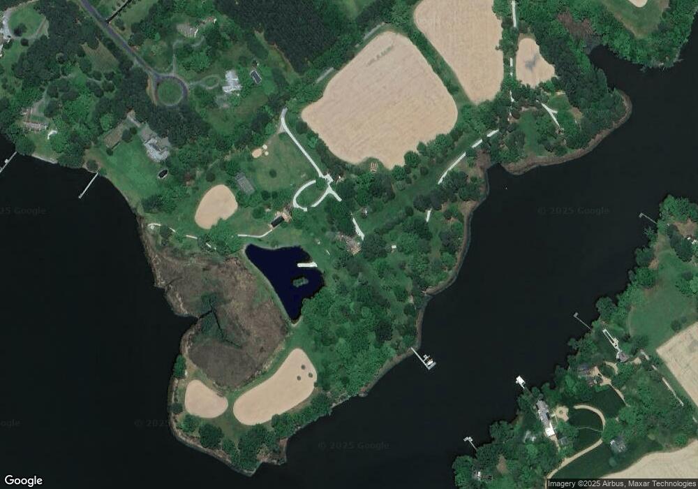
Map
Nearby Homes
- 9517 Gulleys Cove Ln
- 27413 Ferry Bridge Rd
- 9361 Woodstock Ln
- 0 Unionville Rd Unit MDTA2008824
- 8629 Unionville Rd
- 27460 Rest Cir
- 9900 Eagle Dr
- 8534 Northbend Rd
- 27843 Saint Michaels Rd
- 27240 Hayward Trail
- 27232 Hayward Trail
- 26972 Tunis Mills Rd
- 28309 Village Lake Way
- 28298 Ayres Square
- 0 Lot 16 N Unit MDTA2012070
- 0 Hunting Creek Ln Unit MDTA2011738
- 8061 N Fork Blvd
- 9170 Hunting Creek Ln
- 66 Johnson St
- 365 Glebe Rd
- 9345 Bantry Rd
- 27794 Villa Rd
- 27792 Villa Rd
- 9353 Bantry Rd
- 9430 Gulleys Cove Ln
- 27850 Villa Rd
- 27640 Villa Rd
- 9356 Bantry Rd
- 27852 Villa Rd
- 9369 Bantry Rd
- 9440 Gulleys Cove Ln
- 9437 Gulleys Cove Ln
- 9388 Bantry Rd
- 9445 Bantry Rd
- 27638 Villa Rd
- 9476 Gulleys Cove Ln
- 27770 Villa Rd
- 27644 Parkway Rd
- 9465 Gulleys Cove Ln
- 9400 Bantry Rd