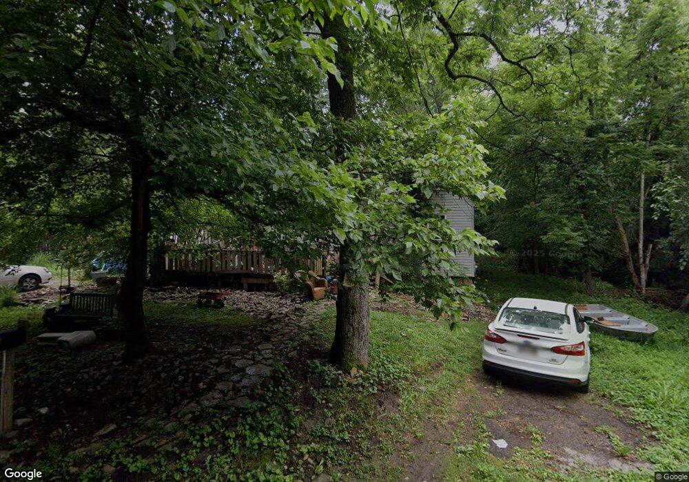
9679 Shore Rd Loveland, OH 45140
Estimated Value: $138,951 - $274,000
3
Beds
1
Bath
1,140
Sq Ft
$195/Sq Ft
Est. Value
About This Home
This home is located at 9679 Shore Rd, Loveland, OH 45140 and is currently estimated at $222,488, approximately $195 per square foot. 9679 Shore Rd is a home located in Warren County with nearby schools including Kings Junior High School, Kings High School, and St. Margaret of York School.
Ownership History
Date
Name
Owned For
Owner Type
Purchase Details
Closed on
Oct 13, 2004
Sold by
Rutherford Eloise and Estate Of Ethel Mcmillan
Bought by
Soda Four Corp
Current Estimated Value
Home Financials for this Owner
Home Financials are based on the most recent Mortgage that was taken out on this home.
Original Mortgage
$19,658
Outstanding Balance
$9,840
Interest Rate
5.93%
Mortgage Type
Seller Take Back
Estimated Equity
$212,648
Create a Home Valuation Report for This Property
The Home Valuation Report is an in-depth analysis detailing your home's value as well as a comparison with similar homes in the area
Home Values in the Area
Average Home Value in this Area
Purchase History
| Date | Buyer | Sale Price | Title Company |
|---|---|---|---|
| Soda Four Corp | $43,000 | Prodigy Title Agency Llc |
Source: Public Records
Mortgage History
| Date | Status | Borrower | Loan Amount |
|---|---|---|---|
| Open | Soda Four Corp | $19,658 |
Source: Public Records
Tax History Compared to Growth
Tax History
| Year | Tax Paid | Tax Assessment Tax Assessment Total Assessment is a certain percentage of the fair market value that is determined by local assessors to be the total taxable value of land and additions on the property. | Land | Improvement |
|---|---|---|---|---|
| 2024 | $1,369 | $25,970 | $12,600 | $13,370 |
| 2023 | $1,019 | $17,615 | $6,195 | $11,420 |
| 2022 | $1,019 | $17,616 | $6,195 | $11,421 |
| 2021 | $855 | $17,616 | $6,195 | $11,421 |
| 2020 | $861 | $14,928 | $5,250 | $9,678 |
| 2019 | $873 | $14,928 | $5,250 | $9,678 |
| 2018 | $875 | $14,928 | $5,250 | $9,678 |
| 2017 | $905 | $13,776 | $4,907 | $8,869 |
| 2016 | $928 | $13,776 | $4,907 | $8,869 |
| 2015 | $858 | $13,776 | $4,907 | $8,869 |
| 2014 | $858 | $13,120 | $4,670 | $8,450 |
| 2013 | $859 | $14,740 | $5,250 | $9,490 |
Source: Public Records
Map
Nearby Homes
- 9653 Shore Dr
- 9613 Vine Dr
- 0 Birch Dr
- 2515 Hickory Rd
- 2513 Hickory Rd
- 2423 Hickory Rd
- 1312 Chestnut Dr
- 1942 Walnut St
- 300 Oak Dr
- 9785 Rich Rd
- 9900 Miami Dr
- 12143 Cedar Dr
- 2612 Virgie Ct
- 2522 Fields Ertel Rd
- 12077 Maple Dr
- 9702 Amberwood Ct
- 2680 Columbia Trail
- A Rich Rd
- 12069 Rich Rd
- 9023 Country View Ln
- 9653 Shore Rd
- 2006 Lot Shore Dr
- 0 Shore Dr Unit 1694480
- 9641 Shore Rd
- 9624 Birch Dr
- 9600 Birch Dr
- 9713 Birch Dr
- 9578 Birch Dr
- 9695 Birch Dr
- 1946 Valley Rd
- 9600 Hickory Dr
- 9600 Hickory Dr
- 9600 Hickory Dr
- 9600 Hickory Dr
- 9682 Hickory Dr
- 1 Hickory Rd
- 2236 Sycamore Rd
- 9835 Shore Dr
- 9542 Chestnut Dr
- 2030 Locust Dr
