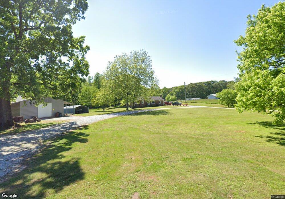
968 N Mangum Bridge Rd Maysville, GA 30558
Estimated Value: $276,000 - $335,317
3
Beds
2
Baths
1,248
Sq Ft
$239/Sq Ft
Est. Value
About This Home
This home is located at 968 N Mangum Bridge Rd, Maysville, GA 30558 and is currently estimated at $298,329, approximately $239 per square foot. 968 N Mangum Bridge Rd is a home located in Banks County with nearby schools including Banks County Primary School, Banks County Elementary School, and Banks County Middle School.
Ownership History
Date
Name
Owned For
Owner Type
Purchase Details
Closed on
Aug 29, 2013
Sold by
Crowe Steve
Bought by
Pritchett Kelly M
Current Estimated Value
Home Financials for this Owner
Home Financials are based on the most recent Mortgage that was taken out on this home.
Original Mortgage
$68,732
Outstanding Balance
$51,425
Interest Rate
4.62%
Mortgage Type
FHA
Estimated Equity
$246,904
Purchase Details
Closed on
Mar 12, 2012
Sold by
Crowe Steven G
Bought by
Crowe Steven G and Maxon Mona Y
Create a Home Valuation Report for This Property
The Home Valuation Report is an in-depth analysis detailing your home's value as well as a comparison with similar homes in the area
Home Values in the Area
Average Home Value in this Area
Purchase History
| Date | Buyer | Sale Price | Title Company |
|---|---|---|---|
| Pritchett Kelly M | $70,000 | -- | |
| Crowe Steven G | -- | -- |
Source: Public Records
Mortgage History
| Date | Status | Borrower | Loan Amount |
|---|---|---|---|
| Open | Pritchett Kelly M | $68,732 |
Source: Public Records
Tax History Compared to Growth
Tax History
| Year | Tax Paid | Tax Assessment Tax Assessment Total Assessment is a certain percentage of the fair market value that is determined by local assessors to be the total taxable value of land and additions on the property. | Land | Improvement |
|---|---|---|---|---|
| 2025 | $2,080 | $108,935 | $46,827 | $62,108 |
| 2024 | $2,080 | $102,056 | $42,570 | $59,486 |
| 2023 | $1,687 | $82,900 | $39,336 | $43,564 |
| 2022 | $1,355 | $64,497 | $28,345 | $36,152 |
| 2021 | $1,051 | $47,033 | $19,088 | $27,945 |
| 2020 | $962 | $41,974 | $16,040 | $25,934 |
| 2019 | $967 | $41,974 | $16,040 | $25,934 |
| 2018 | $921 | $39,322 | $16,040 | $23,282 |
| 2017 | $828 | $33,890 | $12,338 | $21,552 |
| 2016 | $852 | $33,890 | $12,338 | $21,552 |
| 2015 | $661 | $33,890 | $12,338 | $21,552 |
| 2014 | $661 | $46,932 | $25,380 | $21,552 |
| 2013 | -- | $46,932 | $25,380 | $21,552 |
Source: Public Records
Map
Nearby Homes
- 142 Holland Dam Dr
- 301 Oak Ridge Dr
- 0 Hunters Glen Unit 7657277
- 0 Hunters Glen Unit 10614427
- 119 Yarbrough Ridgeway Rd
- 0 Wheeler Cemetery Rd Unit 10647289
- 5830 Maysville Rd
- 75 Meadow Lark Way
- 268 Beacon Dr
- 69 Wilbanks Way
- 108 Lillie Ln
- 390 Beck Farm Rd
- 1911 Ridgeway Church Rd
- 129 Crane St
- 297 Dodge Hill Rd
- 362 Sims St
- 241 Sims St
- 127 Brevard St
- 0 Steven B Tanger Blvd Unit 18091877
- 1480 Wheeler Cemetery Rd
- 939 N Mangum Bridge Rd
- 951 N Mangum Bridge Rd
- 936 N Mangum Bridge Rd
- 180 Burrell Rd
- 711 W Ridgeway Rd
- 924 N Mangum Bridge Rd
- 154 Burrell Rd
- 726 W Ridgeway Rd
- 145 Burrell Rd
- 653 W Ridgeway Rd
- 792 W Ridgeway Rd
- 854 N Mangum Bridge Rd
- 1092 N Mangum Bridge Rd
- 630 W Ridgeway Rd
- 597 W Ridgeway Rd
- 860 W Ridgeway Rd
- 1120 N Mangum Bridge Rd
- 0 Haulbrook Rd
- 825 N Mangum Bridge Rd
- 850 W Ridgeway Rd