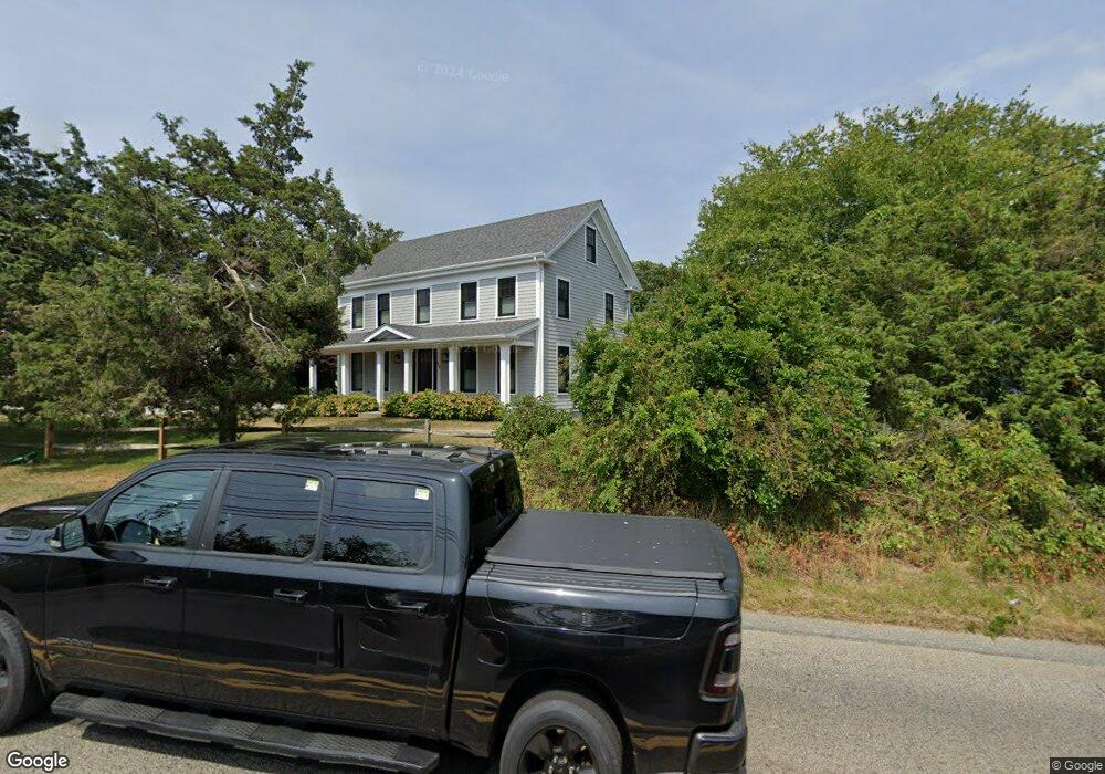
968 Route 28 Harwich, MA 02645
East Harwich NeighborhoodEstimated Value: $1,296,000 - $1,673,364
4
Beds
4
Baths
2,813
Sq Ft
$537/Sq Ft
Est. Value
About This Home
This home is located at 968 Route 28, Harwich, MA 02645 and is currently estimated at $1,511,841, approximately $537 per square foot. 968 Route 28 is a home located in Barnstable County with nearby schools including Harwich Elementary School, Chatham Elementary School, and Monomoy Regional Middle School.
Ownership History
Date
Name
Owned For
Owner Type
Purchase Details
Closed on
Oct 13, 2020
Sold by
Swanson Carolyn H and Hurd Kathryn S
Bought by
Borne Benjamin and Savage-Borne Jacqueline
Current Estimated Value
Home Financials for this Owner
Home Financials are based on the most recent Mortgage that was taken out on this home.
Original Mortgage
$456,000
Outstanding Balance
$405,588
Interest Rate
2.9%
Mortgage Type
New Conventional
Estimated Equity
$1,106,253
Purchase Details
Closed on
Apr 21, 1981
Bought by
Swanson Allen E and Swanson Carolyn H
Create a Home Valuation Report for This Property
The Home Valuation Report is an in-depth analysis detailing your home's value as well as a comparison with similar homes in the area
Home Values in the Area
Average Home Value in this Area
Purchase History
| Date | Buyer | Sale Price | Title Company |
|---|---|---|---|
| Borne Benjamin | $570,000 | None Available | |
| Swanson Allen E | -- | -- |
Source: Public Records
Mortgage History
| Date | Status | Borrower | Loan Amount |
|---|---|---|---|
| Open | Borne Benjamin | $456,000 |
Source: Public Records
Tax History Compared to Growth
Tax History
| Year | Tax Paid | Tax Assessment Tax Assessment Total Assessment is a certain percentage of the fair market value that is determined by local assessors to be the total taxable value of land and additions on the property. | Land | Improvement |
|---|---|---|---|---|
| 2025 | $9,396 | $1,589,800 | $267,500 | $1,322,300 |
| 2024 | $8,338 | $1,382,700 | $252,400 | $1,130,300 |
| 2023 | $6,181 | $930,900 | $229,400 | $701,500 |
| 2022 | $4,392 | $541,500 | $199,500 | $342,000 |
| 2021 | $4,369 | $508,000 | $181,400 | $326,600 |
| 2020 | $4,356 | $499,000 | $177,600 | $321,400 |
| 2019 | $4,175 | $481,600 | $170,700 | $310,900 |
| 2018 | $4,139 | $456,600 | $155,200 | $301,400 |
| 2017 | $3,967 | $442,300 | $141,600 | $300,700 |
| 2016 | $3,869 | $426,600 | $141,600 | $285,000 |
| 2015 | $3,839 | $428,000 | $138,800 | $289,200 |
| 2014 | $3,678 | $419,400 | $134,700 | $284,700 |
Source: Public Records
Map
Nearby Homes
- 27 Quaker Ln
- 1011 Massachusetts 28 Unit C-6
- 1011 Route 28 Unit 6
- 6 Marthas Ln
- 42 Marthas Ln
- 27 Fairview Dr
- 72 Forest Beach Rd
- 72 Forest Beach Rd
- 79 Forest Beach Rd
- 41 Woodland Rd
- 820 Massachusetts 28
- Lot 6 Bobbie's Ln
- 2550 Main St
- 2548 Main St
- 8 Old Wharf Rd
- 15 Sylvan Way
- 2386 Main St
- 106 Chatham Rd
- 21 Princes St
- 1025 Orleans-Harwich Rd