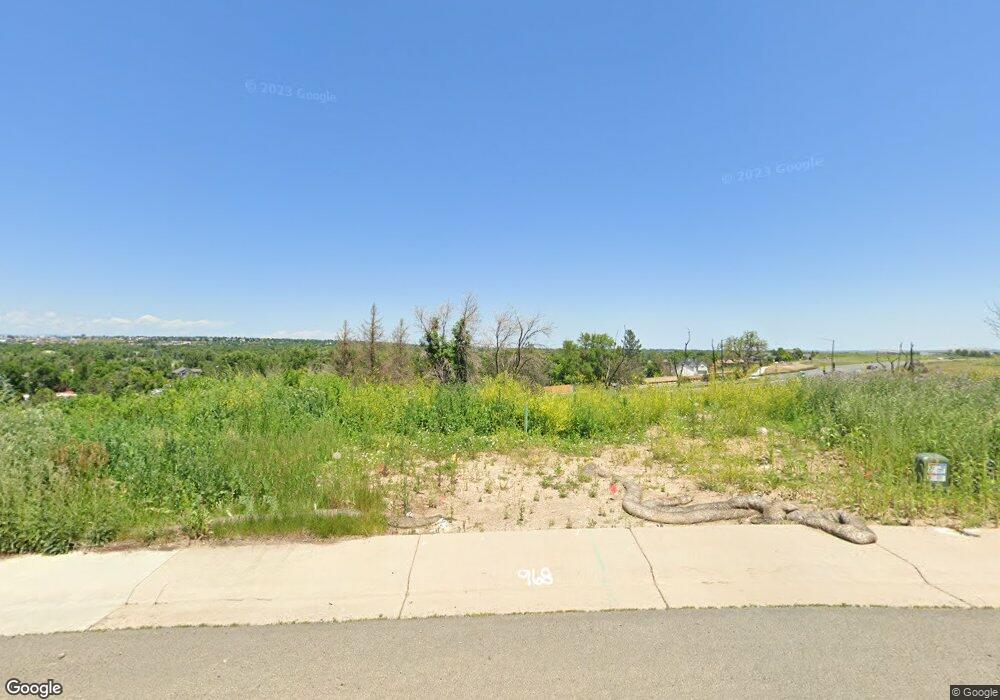
968 Saint Andrews Ln Louisville, CO 80027
Estimated Value: $462,000 - $1,770,000
3
Beds
3
Baths
2,634
Sq Ft
$384/Sq Ft
Est. Value
About This Home
This home is located at 968 Saint Andrews Ln, Louisville, CO 80027 and is currently estimated at $1,012,013, approximately $384 per square foot. 968 Saint Andrews Ln is a home located in Boulder County with nearby schools including Monarch K-8 School, Monarch High School, and The Goddard School - Louisville.
Ownership History
Date
Name
Owned For
Owner Type
Purchase Details
Closed on
Nov 13, 2010
Sold by
Hason Alaaldin F and Hason Randa R
Bought by
Hason Family Trust
Current Estimated Value
Purchase Details
Closed on
Feb 19, 1999
Sold by
Starbuck Kathryn K and Starbuck Michael D
Bought by
Hason Alaaldin F
Home Financials for this Owner
Home Financials are based on the most recent Mortgage that was taken out on this home.
Original Mortgage
$180,000
Interest Rate
6.83%
Purchase Details
Closed on
Dec 15, 1994
Sold by
Wolski Building & Development Ltd
Bought by
Starbuck Kathryn K
Home Financials for this Owner
Home Financials are based on the most recent Mortgage that was taken out on this home.
Original Mortgage
$203,150
Interest Rate
9%
Purchase Details
Closed on
Apr 8, 1991
Bought by
Hason Family Trust
Create a Home Valuation Report for This Property
The Home Valuation Report is an in-depth analysis detailing your home's value as well as a comparison with similar homes in the area
Home Values in the Area
Average Home Value in this Area
Purchase History
| Date | Buyer | Sale Price | Title Company |
|---|---|---|---|
| Hason Family Trust | -- | None Available | |
| Hason Alaaldin F | $345,000 | Heritage Title | |
| Starbuck Kathryn K | $272,258 | -- | |
| Hason Family Trust | $204,000 | -- |
Source: Public Records
Mortgage History
| Date | Status | Borrower | Loan Amount |
|---|---|---|---|
| Closed | Hason Alaaldin F | $180,000 | |
| Previous Owner | Starbuck Kathryn K | $203,150 |
Source: Public Records
Tax History Compared to Growth
Tax History
| Year | Tax Paid | Tax Assessment Tax Assessment Total Assessment is a certain percentage of the fair market value that is determined by local assessors to be the total taxable value of land and additions on the property. | Land | Improvement |
|---|---|---|---|---|
| 2025 | $2,976 | $35,413 | $35,413 | -- |
| 2024 | $2,976 | $35,413 | $35,413 | -- |
| 2023 | $2,925 | $33,105 | $36,790 | -- |
| 2022 | $1,350 | $14,029 | $14,029 | $0 |
| 2021 | $5,256 | $56,750 | $28,865 | $27,885 |
| 2020 | $4,621 | $49,378 | $25,597 | $23,781 |
| 2019 | $4,555 | $49,378 | $25,597 | $23,781 |
| 2018 | $4,336 | $48,535 | $16,488 | $32,047 |
| 2017 | $4,250 | $53,658 | $18,228 | $35,430 |
| 2016 | $3,957 | $44,974 | $18,149 | $26,825 |
| 2015 | $3,750 | $40,175 | $8,040 | $32,135 |
| 2014 | $3,435 | $40,175 | $8,040 | $32,135 |
Source: Public Records
Map
Nearby Homes
- 977 Saint Andrews Ln
- 481 Muirfield Ct
- 953 Saint Andrews Ln
- 497 Muirfield Cir
- 494 Muirfield Cir
- 499 Muirfield Cir
- 945 Saint Andrews Ln
- 945 Saint Andrews Ln Unit 98
- 461 Muirfield Cir
- 941 Saint Andrews Ln
- 941 Saint Andrews Ln Unit 96
- 1030 Turnberry Cir
- 1002 Turnberry Cir
- 716 Club Cir
- 2351 Superior Dr
- 2341 Superior Dr
- 860 Josephine Way
- 830 Josephine Way
- 2331 Superior Dr
- 2321 Superior Dr
- 966 Saint Andrews Ln
- 970 Saint Andrews Ln
- 351 Troon Ct
- 353 Troon Ct
- 962 Saint Andrews Ln
- 974 Saint Andrews Ln
- 355 Troon Ct
- 483 Muirfield Ct
- 975 Saint Andrews Ln
- 357 Troon Ct
- 485 Muirfield Ct
- 830 Spyglass Cir
- 832 Spyglass Cir
- 352 Troon Ct
- 958 Saint Andrews Ln
- 359 Troon Ct
- 978 Saint Andrews Ln
- 479 Muirfield Ct
- 356 Troon Ct
- 828 Spyglass Cir
