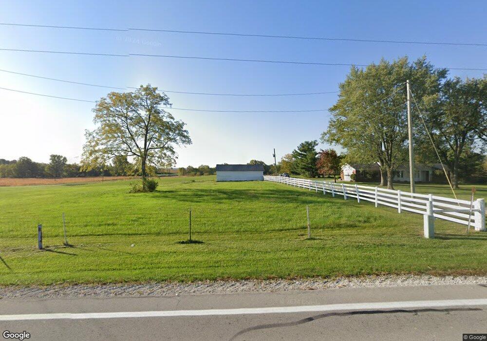
968 State Route 219 Fort Recovery, OH 45846
Estimated Value: $364,000 - $611,000
4
Beds
3
Baths
1,568
Sq Ft
$295/Sq Ft
Est. Value
About This Home
This home is located at 968 State Route 219, Fort Recovery, OH 45846 and is currently estimated at $462,416, approximately $294 per square foot. 968 State Route 219 is a home located in Mercer County with nearby schools including Fort Recovery Elementary School, Fort Recovery Middle School, and Fort Recovery High School.
Ownership History
Date
Name
Owned For
Owner Type
Purchase Details
Closed on
Dec 15, 2015
Sold by
Diller Alan R and Diller Rose Ann
Bought by
Diller Greg A and Diller Katherine L
Current Estimated Value
Home Financials for this Owner
Home Financials are based on the most recent Mortgage that was taken out on this home.
Original Mortgage
$192,000
Interest Rate
3.88%
Mortgage Type
Future Advance Clause Open End Mortgage
Purchase Details
Closed on
Aug 3, 2006
Sold by
Dillerf Alan R and Dillerf Rose Ann
Bought by
Diller Alan R and Alan R Diller Trust
Create a Home Valuation Report for This Property
The Home Valuation Report is an in-depth analysis detailing your home's value as well as a comparison with similar homes in the area
Home Values in the Area
Average Home Value in this Area
Purchase History
| Date | Buyer | Sale Price | Title Company |
|---|---|---|---|
| Diller Greg A | $240,000 | None Available | |
| Diller Alan R | -- | None Available |
Source: Public Records
Mortgage History
| Date | Status | Borrower | Loan Amount |
|---|---|---|---|
| Closed | Diller Greg A | $192,000 |
Source: Public Records
Tax History Compared to Growth
Tax History
| Year | Tax Paid | Tax Assessment Tax Assessment Total Assessment is a certain percentage of the fair market value that is determined by local assessors to be the total taxable value of land and additions on the property. | Land | Improvement |
|---|---|---|---|---|
| 2024 | $3,077 | $105,220 | $26,430 | $78,790 |
| 2023 | $3,077 | $105,220 | $26,430 | $78,790 |
| 2022 | $2,421 | $77,250 | $21,350 | $55,900 |
| 2021 | $2,428 | $77,250 | $21,350 | $55,900 |
| 2020 | $1,243 | $77,250 | $21,350 | $55,900 |
| 2019 | $2,837 | $71,200 | $20,340 | $50,860 |
| 2018 | $2,277 | $65,740 | $14,880 | $50,860 |
| 2017 | $2,182 | $65,740 | $14,880 | $50,860 |
| 2016 | $2,071 | $60,900 | $14,350 | $46,550 |
| 2015 | $1,667 | $60,900 | $14,350 | $46,550 |
| 2014 | $1,695 | $60,900 | $14,350 | $46,550 |
| 2013 | $1,810 | $61,670 | $14,350 | $47,320 |
Source: Public Records
Map
Nearby Homes
- 1291 State Route 219
- 207 W Butler St
- 304 S Wayne St
- 201 W Wiggs St
- 2332 State Route 29
- 912 Emerald Ave
- 821 Butler St
- 820 Mary Ln
- 401 N Cedar St
- 6699 Gause Rd
- 420 S 1st St
- 501 N 2nd St
- 314 E North St
- 402 E Elizabeth St
- 426 E Walnut St
- 721 Lilac Dr
- 0 Anderson Lots 10 11 & 12 Ln Unit 1037885
- 0 Springer 1-6 & Roadway 14-16 Unit 1037883
- 0 Ohio 118
- 0 Anderson 13&14 & Roadway 12&13 Unit 1037886
- 4486 Wabash Rd
- 1000 St Rt 219 Hwy
- 924 State Route 219
- 886 State Route 219
- 1508 State Route 219
- 1309 State Route 219
- 1299 State Route 219
- 814 State Route 219
- 4683 Wabash Rd
- 4248 Wabash Rd
- 4871 Wabash Rd
- 1212 State Route 219
- 4754 Wabash Rd
- 651 State Route 219
- 1268 State Route 219
- 650 State Route 219
- 1279 State Route 219
- 617 State Route 219
- 4161 Wabash Rd
- 4151 Wabash Rd