Estimated Value: $309,000
Studio
--
Bath
--
Sq Ft
13.49
Acres
About This Home
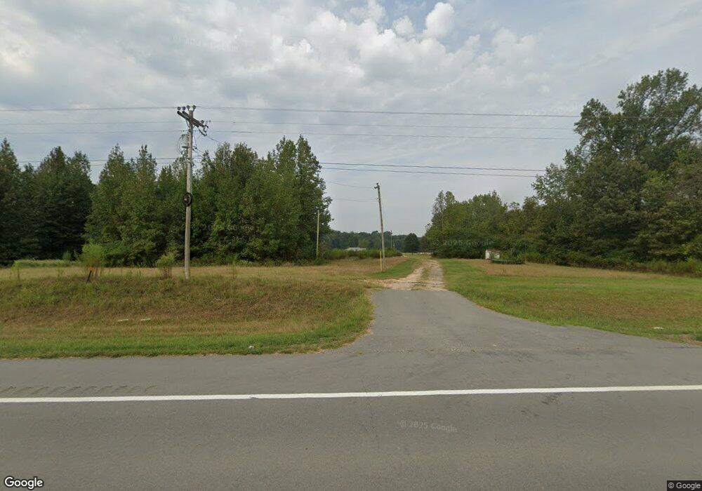
This home is located at 9680 Highway 63, Rison, AR 71665 and is currently estimated at $309,000. 9680 Highway 63 is a home located in Cleveland County with nearby schools including Woodlawn Elementary School and Woodlawn High School.
Ownership History
Date
Name
Owned For
Owner Type
Purchase Details
Closed on
Jul 15, 2024
Sold by
Hnin Thang Za and Hnin Ngun Kil
Bought by
Tina Farm Llc
Current Estimated Value
Purchase Details
Closed on
Aug 26, 2010
Sold by
Sowrheaver Farms Inc
Bought by
Sowrheaver David S and Sowrheaver Rachel
Home Financials for this Owner
Home Financials are based on the most recent Mortgage that was taken out on this home.
Original Mortgage
$1,670,000
Interest Rate
4.58%
Mortgage Type
Purchase Money Mortgage
Purchase Details
Closed on
Sep 26, 2000
Bought by
Farm
Purchase Details
Closed on
Jan 1, 1901
Bought by
Sowrheaver David and Sowrheaver Vanessa O
Create a Home Valuation Report for This Property
The Home Valuation Report is an in-depth analysis detailing your home's value as well as a comparison with similar homes in the area
Purchase History
| Date | Buyer | Sale Price | Title Company |
|---|---|---|---|
| Tina Farm Llc | $3,040,000 | Drew County Abstract & Title | |
| Sowrheaver David S | -- | -- | |
| Farm | -- | -- | |
| Sowrheaver David | -- | -- |
Source: Public Records
Mortgage History
| Date | Status | Borrower | Loan Amount |
|---|---|---|---|
| Previous Owner | Sowrheaver David S | $1,670,000 |
Source: Public Records
Tax History
| Year | Tax Paid | Tax Assessment Tax Assessment Total Assessment is a certain percentage of the fair market value that is determined by local assessors to be the total taxable value of land and additions on the property. | Land | Improvement |
|---|---|---|---|---|
| 2025 | $7,555 | $164,220 | $6,860 | $157,360 |
| 2024 | $7,555 | $164,240 | $6,880 | $157,360 |
| 2023 | $7,555 | $164,240 | $6,880 | $157,360 |
| 2022 | $9,294 | $202,040 | $6,880 | $195,160 |
| 2021 | $9,294 | $202,040 | $6,880 | $195,160 |
| 2020 | $9,294 | $202,040 | $6,880 | $195,160 |
| 2019 | $9,294 | $202,040 | $6,880 | $195,160 |
| 2018 | $10,258 | $223,010 | $1,940 | $221,070 |
| 2017 | $10,258 | $223,010 | $1,940 | $221,070 |
| 2015 | -- | $207,030 | $1,940 | $205,090 |
| 2014 | -- | $189,780 | $1,940 | $187,840 |
| 2013 | -- | $189,780 | $1,940 | $187,840 |
Source: Public Records
Map
Nearby Homes
- 430 Ml Wilson Rd
- 800 Southwood Ln
- 900 Southwood Ln
- 600 Southwood Ln
- 700 Southwood Ln
- 500 Southwood Ln
- 400 Southwood Ln
- 100 Southwood Ln
- 200 Southwood Ln
- 280 Vinson Ln
- 240 Cole Rd
- 6750 Highway 63
- 270 Rowell Rd W
- John Hollis Rd
- 0 Big Creek Rd
- 14930 Highway 63
- TBD John M Hollis Rd
- 540 Heritage Dr
- 0 Burkhardt Dr
- 260 Burkhardt Dr
- 9680 Highway 63
- 9580 Highway 63
- 9580 Highway 63
- 9570 Highway 63
- 9750 Highway 63
- 9890 Highway 63
- 9920 Highway 63
- 9920 Highway 63
- 60 Vernon Rd
- 580 Ml Wilson Rd
- 9280 Highway 63
- 9290 Highway 63
- 10140 Highway 63
- 617 Grant 167084
- 10160 Highway 63
- 400 Ml Wilson Rd
- 600 Ml Wilson Rd
- 10250 Highway 63
- 220 Ml Wilson Rd
- 8720 Highway 114