9682 Haines Rd Waynesville, OH 45068
Wayne Township NeighborhoodEstimated Value: $999,000 - $1,232,460
3
Beds
4
Baths
3,372
Sq Ft
$331/Sq Ft
Est. Value
About This Home
This home is located at 9682 Haines Rd, Waynesville, OH 45068 and is currently estimated at $1,115,730, approximately $330 per square foot. 9682 Haines Rd is a home located in Warren County with nearby schools including Waynesville Elementary School, Waynesville Middle School, and Waynesville High School.
Ownership History
Date
Name
Owned For
Owner Type
Purchase Details
Closed on
Jan 21, 2005
Sold by
Countrywide Lebanon Ltd
Bought by
Tudela Mark A and Tudela Jenna M
Current Estimated Value
Home Financials for this Owner
Home Financials are based on the most recent Mortgage that was taken out on this home.
Original Mortgage
$75,600
Interest Rate
6%
Mortgage Type
Purchase Money Mortgage
Purchase Details
Closed on
Jul 20, 2004
Sold by
Countrytyme Lebanon Ltd
Bought by
Galloway Land Co
Create a Home Valuation Report for This Property
The Home Valuation Report is an in-depth analysis detailing your home's value as well as a comparison with similar homes in the area
Home Values in the Area
Average Home Value in this Area
Purchase History
| Date | Buyer | Sale Price | Title Company |
|---|---|---|---|
| Tudela Mark A | $108,000 | Chicago Title Insurance Co | |
| Galloway Land Co | -- | -- |
Source: Public Records
Mortgage History
| Date | Status | Borrower | Loan Amount |
|---|---|---|---|
| Closed | Tudela Mark A | $75,600 |
Source: Public Records
Tax History Compared to Growth
Tax History
| Year | Tax Paid | Tax Assessment Tax Assessment Total Assessment is a certain percentage of the fair market value that is determined by local assessors to be the total taxable value of land and additions on the property. | Land | Improvement |
|---|---|---|---|---|
| 2024 | $14,508 | $361,980 | $67,030 | $294,950 |
| 2023 | $13,923 | $304,962 | $41,499 | $263,462 |
| 2022 | $13,612 | $304,962 | $41,500 | $263,463 |
| 2021 | $13,055 | $304,962 | $41,500 | $263,463 |
| 2020 | $12,307 | $247,937 | $33,740 | $214,197 |
| 2019 | $12,313 | $247,937 | $33,740 | $214,197 |
| 2018 | $11,957 | $240,832 | $33,740 | $207,092 |
| 2017 | $11,640 | $218,687 | $30,681 | $188,006 |
| 2016 | $10,864 | $218,687 | $30,681 | $188,006 |
| 2015 | $10,881 | $218,687 | $30,681 | $188,006 |
| 2014 | $10,528 | $200,710 | $29,790 | $170,920 |
| 2013 | $10,508 | $233,570 | $31,420 | $202,150 |
Source: Public Records
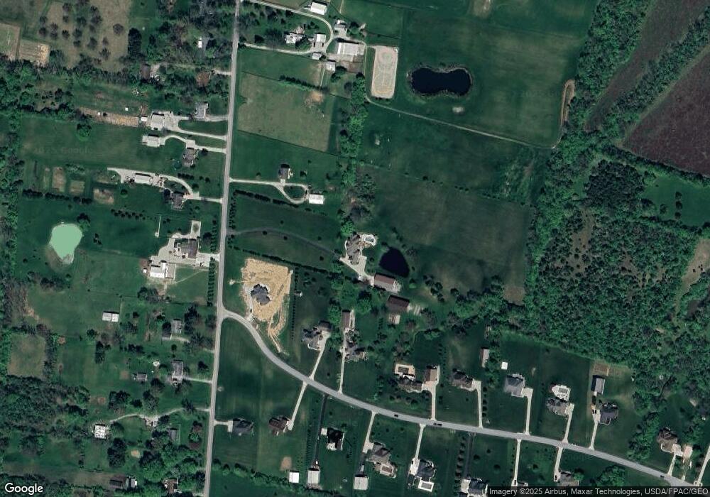
Map
Nearby Homes
- 4001 E Social Row Rd
- 4103 Middle Run Rd
- 8976 Ferry Rd
- 0 Mount Holly Rd
- 9510 Bellbrook Rd
- 9543 Hacker Farm Ln
- 2211 E Social Row Rd
- 9161 Old Stage Rd
- 8519 Old Stage Rd
- 3950 E State Route 73
- 1198 Lytle Rd
- 1036 Bayberry Dr
- 1106 Brookfield Dr Unit 1106
- 1106 Lytle Rd
- 2 Acres Mount Holly Rd
- 25 Country Lakes Blvd
- 7364 Cook Jones Rd
- 24 Country Lakes Blvd
- 28 Country Lakes Blvd
- 22 Country Lakes Blvd
- 9734 Haines Rd
- 5100 Thomas Dr
- 5044 Thomas Dr
- 5138 Thomas Dr
- 5043 Thomas Dr
- 0 Haines Rd Unit 549628
- 0 Haines Rd Unit 565633
- 9667 Haines Rd
- 5214 Thomas Dr
- 9751 Haines Rd
- 5081 Thomas Dr
- 9775 Haines Rd
- 9569 Haines Rd
- 5157 Thomas Dr
- 5119 Thomas Dr
- 5195 Thomas Dr
- 9827 Haines Rd
- 9605 Haines Rd
- 5290 Thomas Dr
- 5233 Thomas Dr