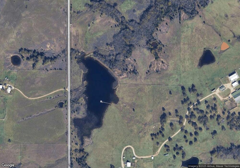
9682 State Highway 199 Ardmore, OK 73401
Estimated Value: $280,000 - $452,000
3
Beds
2
Baths
2,068
Sq Ft
$180/Sq Ft
Est. Value
About This Home
This home is located at 9682 State Highway 199, Ardmore, OK 73401 and is currently estimated at $372,514, approximately $180 per square foot. 9682 State Highway 199 is a home located in Carter County with nearby schools including Dickson Elementary School, Dickson Upper Elementary School, and Dickson Middle School.
Ownership History
Date
Name
Owned For
Owner Type
Purchase Details
Closed on
Apr 19, 2000
Sold by
First Bank And Trust Co
Bought by
Mcdaniel Sylvia Lynn
Current Estimated Value
Purchase Details
Closed on
Apr 7, 2000
Sold by
Jones Gregory D and Jones Kim
Bought by
First Bank And Trust Co
Purchase Details
Closed on
Oct 8, 1996
Sold by
Skaggs Darryl K
Bought by
Jones Gregory D and Jones Kim
Create a Home Valuation Report for This Property
The Home Valuation Report is an in-depth analysis detailing your home's value as well as a comparison with similar homes in the area
Home Values in the Area
Average Home Value in this Area
Purchase History
| Date | Buyer | Sale Price | Title Company |
|---|---|---|---|
| Mcdaniel Sylvia Lynn | $380,000 | -- | |
| First Bank And Trust Co | -- | -- | |
| Jones Gregory D | $100,000 | -- |
Source: Public Records
Tax History Compared to Growth
Tax History
| Year | Tax Paid | Tax Assessment Tax Assessment Total Assessment is a certain percentage of the fair market value that is determined by local assessors to be the total taxable value of land and additions on the property. | Land | Improvement |
|---|---|---|---|---|
| 2024 | $1,845 | $17,865 | $2,902 | $14,963 |
| 2023 | $1,791 | $17,345 | $2,880 | $14,465 |
| 2022 | $1,660 | $16,840 | $2,854 | $13,986 |
| 2021 | $1,654 | $16,349 | $2,815 | $13,534 |
| 2020 | $1,582 | $15,872 | $2,655 | $13,217 |
| 2019 | $1,487 | $15,411 | $2,997 | $12,414 |
| 2018 | $1,464 | $14,962 | $2,330 | $12,632 |
| 2017 | $1,452 | $14,559 | $2,330 | $12,229 |
| 2016 | $1,384 | $14,135 | $2,330 | $11,805 |
| 2015 | $1,447 | $14,752 | $1,430 | $13,322 |
| 2014 | $1,547 | $15,767 | $1,171 | $14,596 |
Source: Public Records
Map
Nearby Homes
- 0 Sam Noble Pkwy Unit 2523300
- 402 Beaumont Dr
- 3129 Cardinal Dr
- 8726 State Highway 199
- 344 Beaumont Dr
- 61 Cedar Ln
- 1348 Gene Autry Rd
- 2114 Oakglen Dr
- 42 Dogwood Rd
- 2420 3rd Ave NE
- 2370 Mary Niblack Rd
- 0 Hwy 177 Unit 2502315
- 354 Basin Rd
- 0 2nd St NE
- 1803 2nd Ave NE
- 6080 Red Cedar Rd
- 819 Harvey Rd
- 1312 7th Ave NE
- 201 S St SE
- 4470 Red Cedar Rd
- 9682 State Highway 199
- 9682 State Highway 199
- 17641 Highway 199
- 40 Gene Autry Rd
- 1 Gene Autry Rd
- 2117 Sam Noble Pkwy
- 9659 State Highway 199
- 9509 St Hwy 199
- 9513 State Highway 199
- 9505 State Highway 199
- 9505 State Highway 199
- 9505 State Highway 199
- 9505 State Highway 199
- 2930 Sam Noble Pkwy
- 9459 State Highway 199
- 9459 State Highway 199
- 9371 State Highway 199
- 2914 Sam Noble Pkwy
- 2914 Sam Noble Pkwy
- 265 Gene Autry Rd
