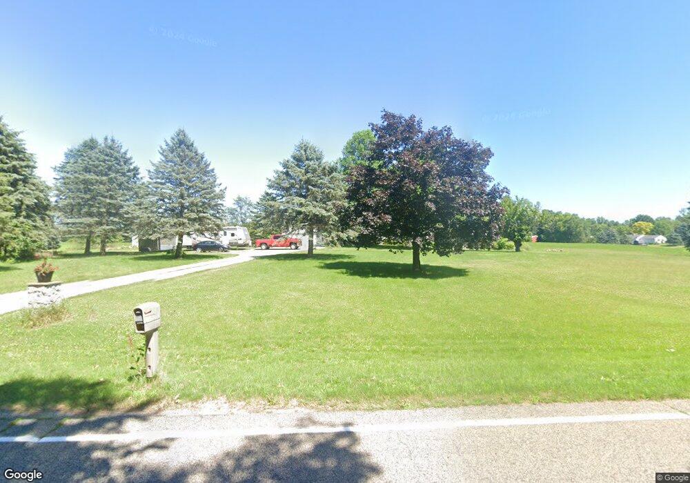
9683 Chandler Rd Laingsburg, MI 48848
Estimated Value: $447,000 - $549,000
1
Bed
2
Baths
2,214
Sq Ft
$218/Sq Ft
Est. Value
About This Home
This home is located at 9683 Chandler Rd, Laingsburg, MI 48848 and is currently estimated at $481,977, approximately $217 per square foot. 9683 Chandler Rd is a home located in Clinton County with nearby schools including Laingsburg Elementary School, Laingsburg Middle School, and Laingsburg High School.
Ownership History
Date
Name
Owned For
Owner Type
Purchase Details
Closed on
Dec 10, 2018
Sold by
Curtis Richard and Estate Of Dolores I Curtis
Bought by
Kleinhardt Amber J
Current Estimated Value
Home Financials for this Owner
Home Financials are based on the most recent Mortgage that was taken out on this home.
Original Mortgage
$209,000
Outstanding Balance
$184,133
Interest Rate
4.8%
Mortgage Type
New Conventional
Estimated Equity
$297,844
Create a Home Valuation Report for This Property
The Home Valuation Report is an in-depth analysis detailing your home's value as well as a comparison with similar homes in the area
Home Values in the Area
Average Home Value in this Area
Purchase History
| Date | Buyer | Sale Price | Title Company |
|---|---|---|---|
| Kleinhardt Amber J | $290,000 | Ata Natl Title Group Llc |
Source: Public Records
Mortgage History
| Date | Status | Borrower | Loan Amount |
|---|---|---|---|
| Open | Kleinhardt Amber J | $209,000 |
Source: Public Records
Tax History Compared to Growth
Tax History
| Year | Tax Paid | Tax Assessment Tax Assessment Total Assessment is a certain percentage of the fair market value that is determined by local assessors to be the total taxable value of land and additions on the property. | Land | Improvement |
|---|---|---|---|---|
| 2025 | $6,030 | $243,000 | $23,500 | $219,500 |
| 2024 | $2,105 | $228,200 | $21,400 | $206,800 |
| 2023 | $1,994 | $196,700 | $0 | $0 |
| 2022 | $5,472 | $178,600 | $17,500 | $161,100 |
| 2021 | $5,155 | $168,100 | $15,800 | $152,300 |
| 2020 | $4,784 | $158,300 | $14,000 | $144,300 |
| 2019 | $4,826 | $150,300 | $14,000 | $136,300 |
| 2018 | $3,500 | $132,500 | $12,900 | $119,600 |
| 2017 | $3,460 | $131,900 | $12,900 | $119,000 |
| 2016 | $3,331 | $120,700 | $12,900 | $107,800 |
| 2015 | $3,322 | $120,600 | $0 | $0 |
| 2011 | -- | $117,500 | $0 | $0 |
Source: Public Records
Map
Nearby Homes
- 4240 E Round Lake Rd
- 4200 E Round Lake Rd
- 2615 Alward Rd
- Parcel 2 Alward Rd
- Parcel 1 Alward Rd
- 0 E Round Lake Rd
- 11605 Dunmaglas Dr
- 1965 E Round Lake Rd
- 2604 Green Rd
- 8235 E Jason Rd
- 1226 E Round Lake Rd
- 7370 Cross Creek Dr
- 6420 Clise Rd
- 7599 Alward Rd
- 11549 S Us Highway 27
- 0 Old U S 27 Unit 291913
- 13330 Nelson St
- 4340 Sleight Rd
- 1346 E Howe Rd
- 5603 Sleight Rd
- 9714 Chandler Rd
- 9649 Chandler Rd
- 9652 Chandler Rd
- 9605 Chandler Rd
- 4431 Round Lake Rd
- 9555 Chandler Rd
- 4374 Round Lake Rd
- 4468 Round Lake Rd
- 4298 Round Lake Rd
- 4340 Round Lake Rd
- 4557 Round Lake Rd
- 4480 Round Lake Rd
- 4240 Round Lake Rd
- 4240 Round Lake Rd
- 4585 Round Lake Rd
- 0 E Round Lake Rd Unit 210062594
- 0 E Round Lake Rd Unit 630000271266
- 0 E Round Lake Rd Unit 630000271265
- 0 E Round Lake Rd Unit 630000271261
- 0 E Round Lake Rd Unit 630000271264