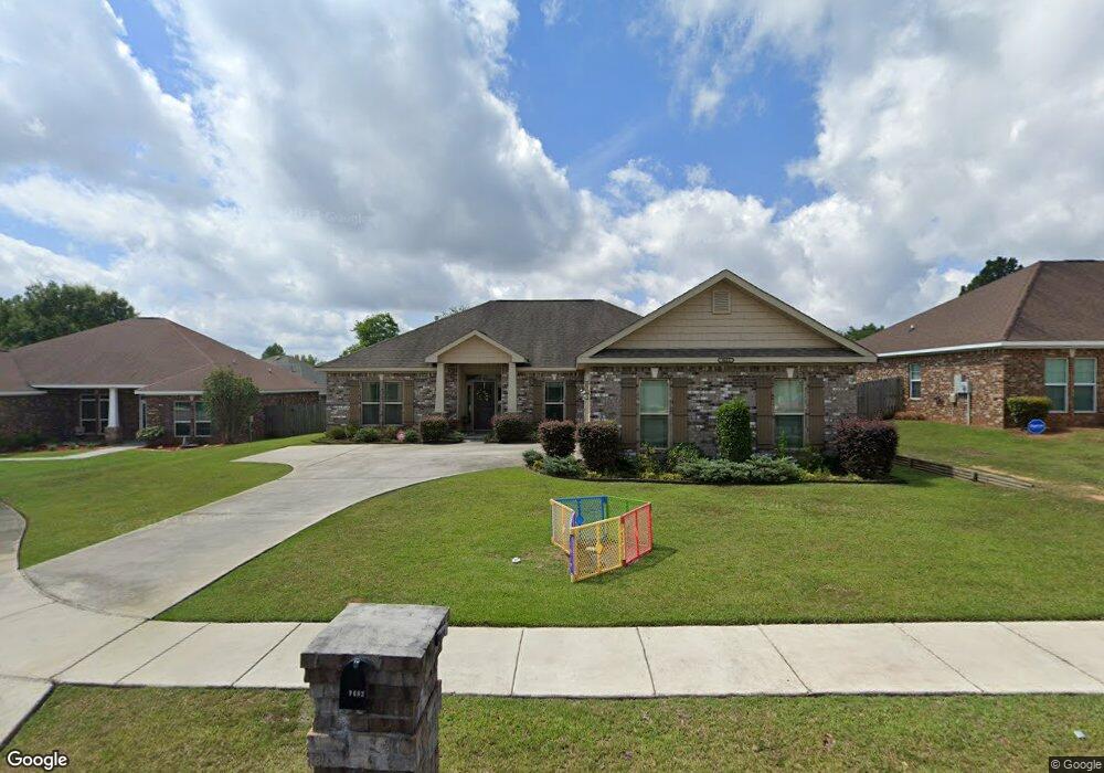
9683 Gwinnett Ct E Mobile, AL 36695
Baker NeighborhoodEstimated Value: $310,460 - $368,000
4
Beds
3
Baths
2,216
Sq Ft
$151/Sq Ft
Est. Value
About This Home
This home is located at 9683 Gwinnett Ct E, Mobile, AL 36695 and is currently estimated at $335,615, approximately $151 per square foot. 9683 Gwinnett Ct E is a home located in Mobile County with nearby schools including Elsie Collier Elementary School, Bernice J Causey Middle School, and Baker High School.
Ownership History
Date
Name
Owned For
Owner Type
Purchase Details
Closed on
Mar 16, 2015
Sold by
H & P Limited
Bought by
Brown Michael I and Brown Pauline W
Current Estimated Value
Purchase Details
Closed on
Dec 30, 2014
Sold by
Jmh Development Co Inc
Bought by
H P Limited
Home Financials for this Owner
Home Financials are based on the most recent Mortgage that was taken out on this home.
Original Mortgage
$136,604
Interest Rate
3.98%
Mortgage Type
Unknown
Create a Home Valuation Report for This Property
The Home Valuation Report is an in-depth analysis detailing your home's value as well as a comparison with similar homes in the area
Home Values in the Area
Average Home Value in this Area
Purchase History
| Date | Buyer | Sale Price | Title Company |
|---|---|---|---|
| Brown Michael I | $209,861 | None Available | |
| H P Limited | $32,500 | None Available |
Source: Public Records
Mortgage History
| Date | Status | Borrower | Loan Amount |
|---|---|---|---|
| Previous Owner | H P Limited | $136,604 |
Source: Public Records
Tax History
| Year | Tax Paid | Tax Assessment Tax Assessment Total Assessment is a certain percentage of the fair market value that is determined by local assessors to be the total taxable value of land and additions on the property. | Land | Improvement |
|---|---|---|---|---|
| 2025 | $1,244 | $29,060 | $4,000 | $25,060 |
| 2024 | $1,244 | $27,030 | $4,000 | $23,030 |
| 2023 | $1,103 | $25,570 | $4,000 | $21,570 |
| 2022 | $902 | $22,460 | $4,000 | $18,460 |
| 2021 | $870 | $21,700 | $4,000 | $17,700 |
| 2020 | $896 | $22,290 | $4,000 | $18,290 |
| 2019 | $889 | $22,140 | $0 | $0 |
| 2018 | $992 | $21,840 | $0 | $0 |
| 2017 | $1,060 | $21,800 | $0 | $0 |
| 2016 | $952 | $21,020 | $0 | $0 |
| 2013 | $170 | $3,500 | $0 | $0 |
Source: Public Records
Map
Nearby Homes
- 860 Trailwood Dr E
- 9751 Pine Knoll Rd
- 9630 Oak Forrest Dr Unit 2
- 9650 Oak Forrest Dr
- 790 Hale Rd
- 9613 Oak Forrest Place
- 750 Hale Rd
- 9391 Smokewood Dr
- 9410 Ashwood Ct
- 1170 Wellington Ct S
- 9841 Shadow Wood Dr
- 1145 Dominion Dr E
- 9375 Ashwood Ct
- 553 Begeman Rd
- 572 Begeman Rd
- 0 New Neck Rd Unit 387066
- 9760 Maxwell Run
- 9977 Briarcliff Dr S
- 1235 Wakefield Dr E
- 11905 Airport Blvd
- 9691 Gwinnett Ct E
- 9675 Gwinnett Ct E
- 9674 Galeton Ct E
- 9684 Galeton Ct E
- 9664 Galeton Ct E
- 9667 Gwinnett Ct E
- 9684 Gwinnett Ct E
- 9692 Gwinnett Ct E
- 9676 Gwinnett Ct E
- 9703 Gwinnett Ct W
- 9669 Gwinnett Ct E
- 9700 Gwinnett Ct W
- 9694 Galeton Ct W Unit 5
- 9654 Galeton Ct E
- 9708 Gwinnett Ct W
- 9630 Tyler Ct
- 9675 Galeton Ct E
- 9713 Gwinnett Ct W
- 9685 Galeton Ct E
- 9704 Galeton Ct W Unit 5
Your Personal Tour Guide
Ask me questions while you tour the home.