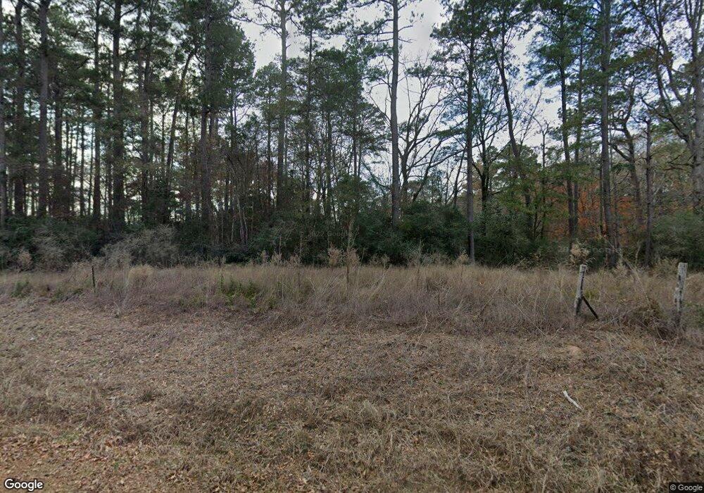
969 Adams Rd Logansport, LA 71049
Estimated Value: $95,000 - $226,000
--
Bed
--
Bath
--
Sq Ft
30
Acres
About This Home
This home is located at 969 Adams Rd, Logansport, LA 71049 and is currently estimated at $140,598. 969 Adams Rd is a home with nearby schools including Logansport High School.
Ownership History
Date
Name
Owned For
Owner Type
Purchase Details
Closed on
Nov 5, 2010
Sold by
Parker Betty Lou Basco Parker and Parker Alvin H
Bought by
Eubanks Charles Rafe and Eubanks Carrie Anne
Current Estimated Value
Home Financials for this Owner
Home Financials are based on the most recent Mortgage that was taken out on this home.
Original Mortgage
$32,217
Interest Rate
4.23%
Mortgage Type
Purchase Money Mortgage
Purchase Details
Closed on
Feb 1, 2010
Sold by
Burkett Don M and Johnson Richard Zemry
Bought by
Eubanks Charles Rafe and Eubanks Anna Turner
Create a Home Valuation Report for This Property
The Home Valuation Report is an in-depth analysis detailing your home's value as well as a comparison with similar homes in the area
Home Values in the Area
Average Home Value in this Area
Purchase History
| Date | Buyer | Sale Price | Title Company |
|---|---|---|---|
| Eubanks Charles Rafe | $35,000 | None Available | |
| Eubanks Charles Rafe | -- | None Available |
Source: Public Records
Mortgage History
| Date | Status | Borrower | Loan Amount |
|---|---|---|---|
| Closed | Eubanks Charles Rafe | $32,217 |
Source: Public Records
Tax History Compared to Growth
Tax History
| Year | Tax Paid | Tax Assessment Tax Assessment Total Assessment is a certain percentage of the fair market value that is determined by local assessors to be the total taxable value of land and additions on the property. | Land | Improvement |
|---|---|---|---|---|
| 2024 | $254 | $9,497 | $856 | $8,641 |
| 2023 | $229 | $9,489 | $848 | $8,641 |
| 2022 | $1,089 | $9,489 | $848 | $8,641 |
| 2021 | $983 | $8,563 | $848 | $7,715 |
| 2020 | $991 | $8,563 | $848 | $7,715 |
| 2019 | $986 | $8,563 | $848 | $7,715 |
| 2018 | $988 | $8,563 | $848 | $7,715 |
| 2017 | $970 | $8,563 | $848 | $7,715 |
| 2016 | $979 | $8,563 | $848 | $7,715 |
| 2015 | $118 | $8,539 | $824 | $7,715 |
| 2014 | $118 | $8,539 | $824 | $7,715 |
| 2013 | $120 | $8,539 | $824 | $7,715 |
Source: Public Records
Map
Nearby Homes
- 0 N 7th St
- 255 Barry Rd
- 205 S 2nd St
- 202 Pine St
- 505 County Road 3620
- 601 Uncas St
- 904 Uncas St
- 4148 Farm To Market Road 139
- 4127 Farm To Market Road 139
- 8534 Route 7
- 9819 Us Hwy 84e
- Tbd County Road 455
- 1984 County Road 455
- 737 County Road 3569
- 0 County Road 432
- TBD Cr 3790
- 600 County Road 3822
- 14816 Highway 84
- TBD (Lot 6) County Road 3545
- TBD (Lot 5) County Road 3545
- 1001 Adams Rd
- 1005 Adams Rd
- 1049 Adams Rd
- 162 Powell Rd
- 1191 Adams Rd
- 642 Highway 764
- 160 Powell Rd
- 769 Highway 764
- 745 Highway 764
- 556 Highway 764
- 695 Highway 764
- 581 Highway 764
- 527 Highway 764
- 179 Hopper Rd
- 774 Horn Rd
- 1166 Highway 764
- 155 Whitten Rd
- 475 Highway 764
- 233 Hopper Rd
- 1212 Highway 764