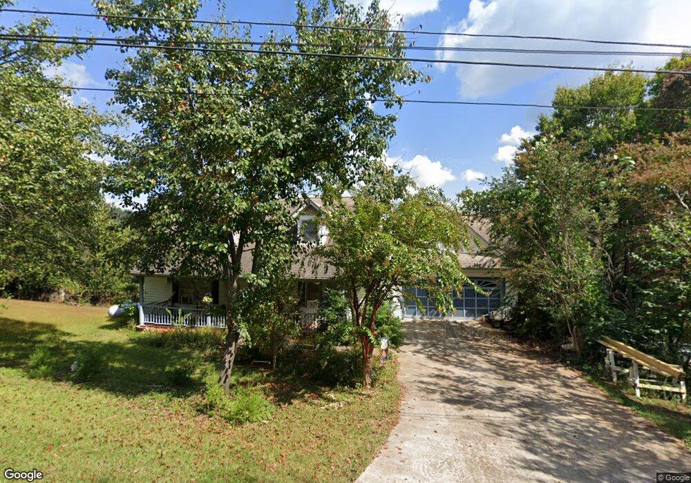
969 Calhoun Rd Dahlonega, GA 30533
Estimated Value: $251,000 - $425,000
--
Bed
2
Baths
1,596
Sq Ft
$213/Sq Ft
Est. Value
About This Home
This home is located at 969 Calhoun Rd, Dahlonega, GA 30533 and is currently estimated at $340,533, approximately $213 per square foot. 969 Calhoun Rd is a home located in Lumpkin County with nearby schools including Clay County Middle School and Lumpkin County High School.
Ownership History
Date
Name
Owned For
Owner Type
Purchase Details
Closed on
Apr 27, 2001
Sold by
Beatty Lori L
Bought by
Jones Lori L and Roger Dale
Current Estimated Value
Purchase Details
Closed on
Oct 12, 1999
Sold by
Beatty Wayne C
Bought by
Beatty Lori Ljones
Purchase Details
Closed on
Feb 13, 1998
Sold by
Lupo Michael D
Bought by
Beatty Wayne C
Purchase Details
Closed on
Jun 22, 1996
Sold by
Self Everett
Bought by
Lupo Michael D
Purchase Details
Closed on
Jun 1, 1983
Bought by
Self Everett
Create a Home Valuation Report for This Property
The Home Valuation Report is an in-depth analysis detailing your home's value as well as a comparison with similar homes in the area
Home Values in the Area
Average Home Value in this Area
Purchase History
| Date | Buyer | Sale Price | Title Company |
|---|---|---|---|
| Jones Lori L | -- | -- | |
| Beatty Lori Ljones | -- | -- | |
| Beatty Wayne C | $119,900 | -- | |
| Lupo Michael D | $98,500 | -- | |
| Self Everett | -- | -- |
Source: Public Records
Tax History Compared to Growth
Tax History
| Year | Tax Paid | Tax Assessment Tax Assessment Total Assessment is a certain percentage of the fair market value that is determined by local assessors to be the total taxable value of land and additions on the property. | Land | Improvement |
|---|---|---|---|---|
| 2024 | $212 | $102,174 | $16,000 | $86,174 |
| 2023 | $185 | $96,760 | $16,000 | $80,760 |
| 2022 | $348 | $87,652 | $16,000 | $71,652 |
| 2021 | $89 | $70,606 | $10,000 | $60,606 |
| 2020 | $2,286 | $69,109 | $10,000 | $59,109 |
| 2019 | $2,434 | $73,109 | $14,000 | $59,109 |
| 2018 | $2,328 | $65,619 | $14,000 | $51,619 |
| 2017 | $2,328 | $64,533 | $14,000 | $50,533 |
| 2016 | $2,226 | $60,495 | $14,000 | $46,495 |
| 2015 | $1,943 | $60,495 | $14,000 | $46,495 |
| 2014 | $1,943 | $61,752 | $14,000 | $47,752 |
| 2013 | -- | $62,380 | $14,000 | $48,380 |
Source: Public Records
Map
Nearby Homes
- 99 Madeline Anthony Road Lots 44 and 45
- 99 Madeline Anthony Rd
- 1170 Calhoun Rd
- 735 Calhoun Rd
- 567 Crown Mountain Way
- LOT 13 Crown Mountain Way
- Lot 28 Crown Mountain Way
- Lot 30 Crown Mountain Way
- Lot 20 Crown Mountain Way
- 0 Crown Mountain Way Unit 7666031
- 1415 Calhoun Rd
- 0 Crown Mountain Unit 7682225
- 0 Crown Mountain Unit 10644759
- 490 Golden Ave
- 747 Golden Ave
- 934 Golden Ave
- 0 Calhoun Rd Unit 7643314
- 0 Calhoun Rd Unit 10598012
- 00 Calhoun Rd
- 0 Alicia Ln
- 975 Calhoun Rd
- 968 Calhoun Rd
- Lot 39 Calhoun Rd
- LOT 19 Calhoun Rd
- LOT 5 Calhoun Rd
- 1005 Calhoun Rd
- 902 Calhoun Rd
- 0 Calhoun (Lot 21) Rd Unit 7096290
- 0 Calhoun Lot 21 Rd Unit 10276472
- 292 Old Stamp Mill Rd
- 881 Calhoun Rd
- 0 Calhoun Ln Unit 24 7470288
- 0 Calhoun Ln Unit 34
- 00 Calhoun Ln
- 0 Calhoun Ln Unit 8047321
- 0 Calhoun Ln Unit 34 8211357
- 0 Calhoun Ln Unit 8315523
- 1044 Calhoun Rd
- 882 Calhoun Rd Unit 26-27
- 882 Calhoun Rd