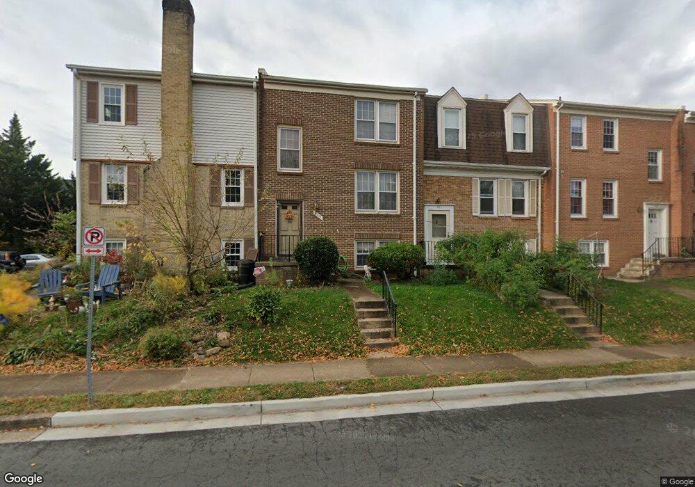
969 Park Ave Herndon, VA 20170
Estimated Value: $468,000 - $542,000
4
Beds
4
Baths
1,320
Sq Ft
$377/Sq Ft
Est. Value
About This Home
This home is located at 969 Park Ave, Herndon, VA 20170 and is currently estimated at $497,430, approximately $376 per square foot. 969 Park Ave is a home located in Fairfax County with nearby schools including Dranesville Elementary, Herndon Middle School, and Herndon High School.
Ownership History
Date
Name
Owned For
Owner Type
Purchase Details
Closed on
Oct 11, 2002
Sold by
Rivera Dolores
Bought by
Rivera Dolores
Current Estimated Value
Purchase Details
Closed on
Feb 3, 1997
Sold by
Sec Hud
Bought by
Orellana Angela Del Carmen
Home Financials for this Owner
Home Financials are based on the most recent Mortgage that was taken out on this home.
Original Mortgage
$113,350
Interest Rate
7.65%
Mortgage Type
FHA
Purchase Details
Closed on
Oct 22, 1996
Sold by
Plucinski Tawin
Bought by
First Union Mtg Corp
Create a Home Valuation Report for This Property
The Home Valuation Report is an in-depth analysis detailing your home's value as well as a comparison with similar homes in the area
Home Values in the Area
Average Home Value in this Area
Purchase History
| Date | Buyer | Sale Price | Title Company |
|---|---|---|---|
| Rivera Dolores | $156,380 | -- | |
| Orellana Angela Del Carmen | $111,000 | -- | |
| First Union Mtg Corp | $130,070 | -- |
Source: Public Records
Mortgage History
| Date | Status | Borrower | Loan Amount |
|---|---|---|---|
| Previous Owner | First Union Mtg Corp | $113,350 |
Source: Public Records
Tax History Compared to Growth
Tax History
| Year | Tax Paid | Tax Assessment Tax Assessment Total Assessment is a certain percentage of the fair market value that is determined by local assessors to be the total taxable value of land and additions on the property. | Land | Improvement |
|---|---|---|---|---|
| 2025 | $5,607 | $446,320 | $190,000 | $256,320 |
| 2024 | $5,607 | $395,270 | $170,000 | $225,270 |
| 2023 | $5,488 | $395,270 | $170,000 | $225,270 |
| 2022 | $5,205 | $369,510 | $150,000 | $219,510 |
| 2021 | $4,103 | $349,610 | $135,000 | $214,610 |
| 2020 | $4,018 | $339,500 | $135,000 | $204,500 |
| 2019 | $4,018 | $339,500 | $135,000 | $204,500 |
| 2018 | $3,633 | $315,880 | $115,000 | $200,880 |
| 2017 | $3,431 | $295,500 | $115,000 | $180,500 |
| 2016 | $3,461 | $298,750 | $114,000 | $184,750 |
| 2015 | $3,334 | $298,750 | $114,000 | $184,750 |
| 2014 | $3,030 | $272,090 | $102,000 | $170,090 |
Source: Public Records
Map
Nearby Homes
- 1018 Knight Ln
- 978 Branch Dr
- 1089 Knight Ln
- 1029 Kings Ct
- 1020 Queens Ct
- 1074 Trevino Ln
- 1117 Player Way
- 1120 Stevenson Ct
- 1129 Player Way
- 879 Station St
- 802 Vine St
- 702 Elden St Unit B
- 1012 Grant St
- 904 Locust St
- 1191 Monroe St
- 903 Young Dairy Ct
- 1160 Lisa Ct
- 615 Center St Unit T4
- 1233 Cooper Station Rd
- 1213 Terrylynn Ct
- 971 Park Ave
- 967 Park Ave
- 973 Park Ave
- 975 Park Ave
- 977 Park Ave
- 965 Park Ave
- 979 Park Ave
- 1006 Branch Dr
- 981 Park Ave
- 963 Park Ave
- 936 Barton Oaks Plaza
- 938 Barton Oaks Place
- 936 Barton Oaks Place Unit Basement in-law suit
- 936 Barton Oaks Place
- 961 Park Ave
- 934 Barton Oaks Place
- 932 Barton Oaks Place
- 1004 Branch Dr
- 959 Park Ave
- 930 Barton Oaks Place