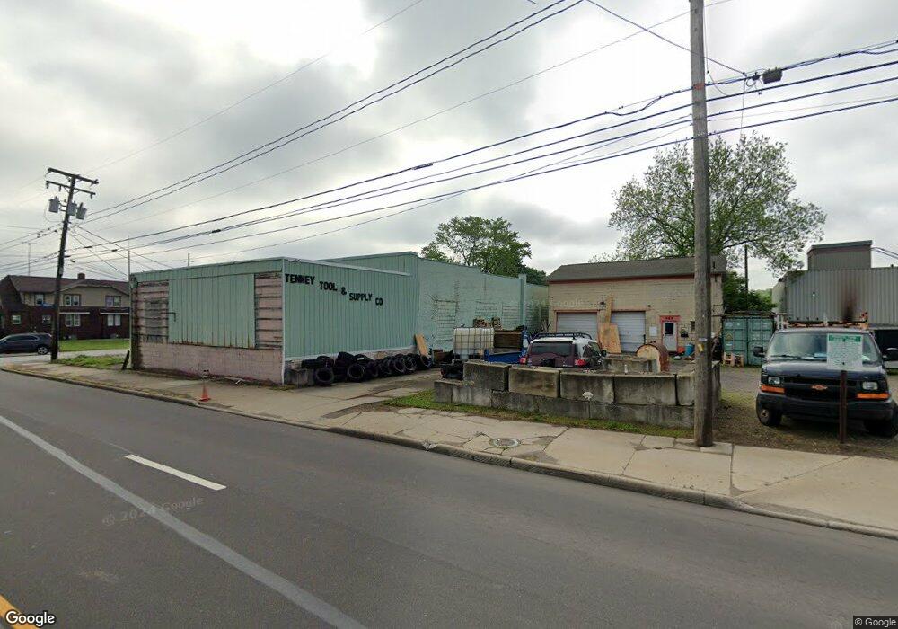
969 Wooster Rd N Barberton, OH 44203
North Barberton NeighborhoodEstimated Value: $80,604
--
Bed
1
Bath
1,064
Sq Ft
$76/Sq Ft
Est. Value
About This Home
This home is located at 969 Wooster Rd N, Barberton, OH 44203 and is currently estimated at $80,604, approximately $75 per square foot. 969 Wooster Rd N is a home located in Summit County with nearby schools including Barberton Middle School, Barberton Intermediate School 3-5, and Barberton High School.
Ownership History
Date
Name
Owned For
Owner Type
Purchase Details
Closed on
Dec 8, 2022
Sold by
Jenkins Joanne
Bought by
Maag William
Current Estimated Value
Purchase Details
Closed on
Jun 14, 2012
Sold by
Hall R Antoinette
Bought by
Jenkins Joanne
Purchase Details
Closed on
Aug 20, 2008
Sold by
Petrie Franklin M and Petrie Elizabeth A
Bought by
Hall R Antoinette
Purchase Details
Closed on
Mar 27, 2003
Sold by
Rjs Property Management Ltd
Bought by
Petrie Franklin M and Petrie Elizabeth A
Purchase Details
Closed on
Sep 19, 1995
Sold by
Baker Keith
Bought by
Sykes Ronald J
Create a Home Valuation Report for This Property
The Home Valuation Report is an in-depth analysis detailing your home's value as well as a comparison with similar homes in the area
Home Values in the Area
Average Home Value in this Area
Purchase History
| Date | Buyer | Sale Price | Title Company |
|---|---|---|---|
| Maag William | $65,000 | None Listed On Document | |
| Jenkins Joanne | $45,000 | None Available | |
| Hall R Antoinette | $48,000 | Lawyers Title Ins | |
| Petrie Franklin M | $48,000 | Multiple | |
| Sykes Ronald J | $27,500 | -- |
Source: Public Records
Tax History Compared to Growth
Tax History
| Year | Tax Paid | Tax Assessment Tax Assessment Total Assessment is a certain percentage of the fair market value that is determined by local assessors to be the total taxable value of land and additions on the property. | Land | Improvement |
|---|---|---|---|---|
| 2025 | $912 | $7,501 | $4,683 | $2,818 |
| 2024 | $633 | $7,501 | $4,683 | $2,818 |
| 2023 | $443 | $7,501 | $4,683 | $2,818 |
| 2022 | $443 | $5,999 | $3,745 | $2,254 |
| 2021 | $446 | $5,999 | $3,745 | $2,254 |
| 2020 | $424 | $6,000 | $3,750 | $2,250 |
| 2019 | $418 | $5,230 | $3,440 | $1,790 |
| 2018 | $421 | $5,230 | $3,440 | $1,790 |
| 2017 | $412 | $5,230 | $3,440 | $1,790 |
| 2016 | $412 | $5,230 | $3,440 | $1,790 |
| 2015 | $412 | $5,230 | $3,440 | $1,790 |
| 2014 | $771 | $5,230 | $3,440 | $1,790 |
| 2013 | $372 | $4,750 | $3,190 | $1,560 |
Source: Public Records
Map
Nearby Homes
- 143 Glenn St
- 0 Romig Ave
- 76 Hazelwood Ave
- 30 W Hiram St
- 103 & 103 1/2 Fernwood Ave
- 117 Fernwood Ave
- 1150 Wooster Rd N
- 277 Glenn St
- 818 N Summit St
- 103 Mitchell St
- 44 W Summit St
- 690 Saint Clair Ave
- 137 Hermann St
- 146 Hermann St
- 1315 Kohler Ave
- 1295 Kohler Ave
- 2518 30th St SW
- 1924 Caroline Ave
- 0 Wooster Rd N
- 213 Hermann St
- 24 Borden St
- 974 Wooster Rd N
- 966 Wooster Rd N
- 978 Wooster Rd N
- 991 1/2 Wooster Rd N
- 960 Wooster Rd N
- 984 Wooster Rd N
- 995 Wooster Rd N
- 990 Wooster Rd N
- 999 Wooster Rd N
- 996 Wooster Rd N
- 989 Romig Ave
- 983 Romig Ave
- 1003 Wooster Rd N
- 979 Romig Ave
- 1001 Romig Ave
- 973 Romig Ave
- 1005 Romig Ave
- 965 Romig Ave Unit 967
- 1009 Romig Ave
