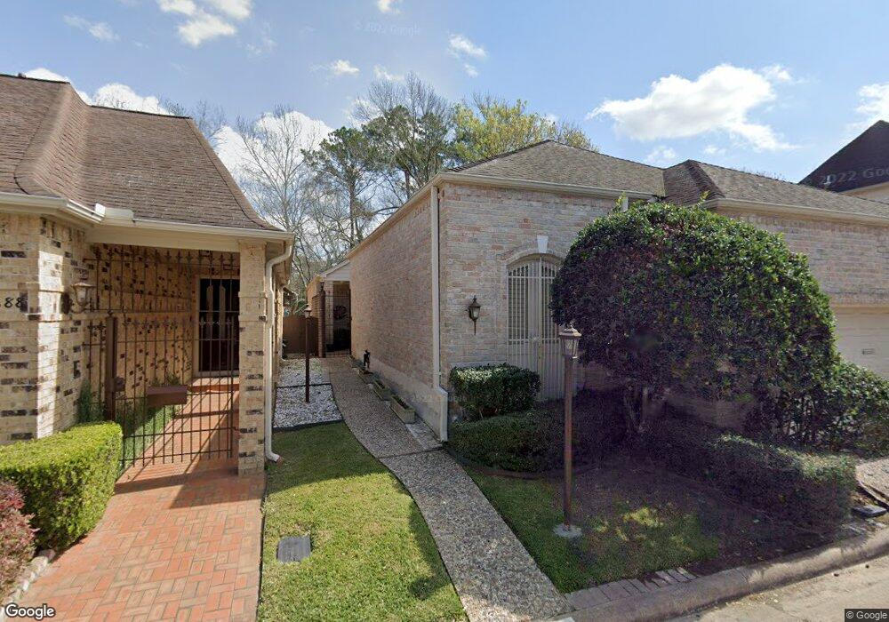
9690 Longmont Dr Houston, TX 77063
Mid West NeighborhoodEstimated Value: $470,000 - $581,000
2
Beds
3
Baths
2,627
Sq Ft
$200/Sq Ft
Est. Value
About This Home
This home is located at 9690 Longmont Dr, Houston, TX 77063 and is currently estimated at $525,362, approximately $199 per square foot. 9690 Longmont Dr is a home located in Harris County with nearby schools including Emerson Elementary School, Paul Revere Middle School, and Wisdom High School.
Ownership History
Date
Name
Owned For
Owner Type
Purchase Details
Closed on
Oct 4, 2018
Sold by
Peiro Natalie
Bought by
Biagioli Raymond A and Biagioli Deborah J
Current Estimated Value
Purchase Details
Closed on
Sep 16, 2009
Sold by
Survivors Trust A
Bought by
Jarrell Sarah A
Purchase Details
Closed on
Mar 29, 2000
Sold by
Noyes George W and Noyes Jeanne W
Bought by
Noyes George W and Noyes Jeanne W
Purchase Details
Closed on
Nov 2, 1993
Sold by
Pennington Deborah and Fabian Daniel Ward
Bought by
Waddell Betty Ann
Create a Home Valuation Report for This Property
The Home Valuation Report is an in-depth analysis detailing your home's value as well as a comparison with similar homes in the area
Home Values in the Area
Average Home Value in this Area
Purchase History
| Date | Buyer | Sale Price | Title Company |
|---|---|---|---|
| Biagioli Raymond A | -- | Chicago Title | |
| Jarrell Sarah A | -- | Charter Title Company | |
| Noyes George W | -- | -- | |
| Waddell Betty Ann | -- | -- |
Source: Public Records
Tax History Compared to Growth
Tax History
| Year | Tax Paid | Tax Assessment Tax Assessment Total Assessment is a certain percentage of the fair market value that is determined by local assessors to be the total taxable value of land and additions on the property. | Land | Improvement |
|---|---|---|---|---|
| 2025 | $2,282 | $521,824 | $125,000 | $396,824 |
| 2024 | $2,282 | $564,987 | $125,000 | $439,987 |
| 2023 | $2,282 | $577,393 | $125,000 | $452,393 |
| 2022 | $10,571 | $480,082 | $125,000 | $355,082 |
| 2021 | $10,991 | $482,409 | $125,000 | $357,409 |
| 2020 | $10,382 | $435,000 | $125,000 | $310,000 |
| 2019 | $9,862 | $389,735 | $125,000 | $264,735 |
| 2018 | $5,333 | $536,000 | $125,000 | $411,000 |
| 2017 | $11,794 | $536,000 | $125,000 | $411,000 |
| 2016 | $10,722 | $585,988 | $125,000 | $460,988 |
| 2015 | $4,316 | $0 | $0 | $0 |
| 2014 | $4,316 | $350,441 | $100,000 | $250,441 |
Source: Public Records
Map
Nearby Homes
- 9620 Doliver Dr
- 45 Bayou Pointe Dr
- 9632 Bayou Brook St
- 9618 Bayou Brook St
- 6 Gessner Rd
- 45 Patti Lynn Ln
- 9518 Bayou Brook St
- 30 E Rivercrest Dr
- 2100 Tanglewilde St Unit 750
- 2100 Tanglewilde St Unit 169
- 2100 Tanglewilde St Unit 536
- 2100 Tanglewilde St Unit 402
- 2100 Tanglewilde St Unit 422
- 2100 Tanglewilde St Unit 625
- 2100 Tanglewilde St Unit 131
- 2100 Tanglewilde St Unit 455
- 2100 Tanglewilde St Unit 600
- 2100 Tanglewilde St Unit 299
- 2100 Tanglewilde St Unit 378
- 3 Plantation Rd
- 9692 Longmont Dr
- 9688 Longmont Dr
- 9694 Longmont Dr
- 9686 Longmont Dr
- 9696 Longmont Dr
- 9678 Longmont Dr
- 9684 Longmont Dr
- 9680 Longmont Dr
- 9676 Longmont Dr
- 9674 Longmont Dr
- 9682 Longmont Dr
- 9698 Longmont Dr
- 9672 Longmont Dr
- 9670 Longmont Dr
- 9620 Longmont Dr
- 9668 Longmont Dr
- 9712 Longmont Dr
- 9666 Longmont Dr
- 9664 Longmont Dr
- 9618 Longmont Dr