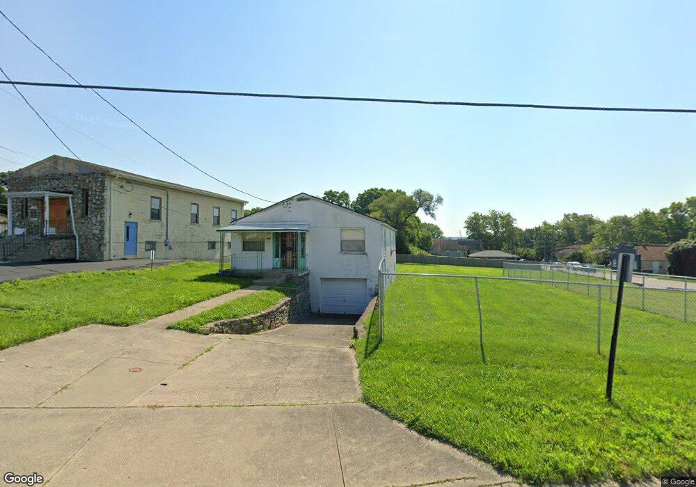
9690 Wayne Ave Cincinnati, OH 45215
3
Beds
2
Baths
1,186
Sq Ft
5,271
Sq Ft
About This Home
This home is located at 9690 Wayne Ave, Cincinnati, OH 45215. 9690 Wayne Ave is a home located in Hamilton County with nearby schools including Lincoln Heights Elementary School, Princeton Community Middle School, and Princeton High School.
Ownership History
Date
Name
Owned For
Owner Type
Purchase Details
Closed on
Dec 7, 1999
Sold by
Rosalind Pollard
Bought by
Temple Church Of Christ Written In Heave
Purchase Details
Closed on
Jan 30, 1998
Sold by
Flowers Deborah and Harris Patricia
Bought by
Pollard Rosalind
Home Financials for this Owner
Home Financials are based on the most recent Mortgage that was taken out on this home.
Original Mortgage
$49,080
Interest Rate
7.12%
Mortgage Type
FHA
Create a Home Valuation Report for This Property
The Home Valuation Report is an in-depth analysis detailing your home's value as well as a comparison with similar homes in the area
Home Values in the Area
Average Home Value in this Area
Purchase History
| Date | Buyer | Sale Price | Title Company |
|---|---|---|---|
| Temple Church Of Christ Written In Heave | $54,600 | -- | |
| Pollard Rosalind | $48,000 | -- |
Source: Public Records
Mortgage History
| Date | Status | Borrower | Loan Amount |
|---|---|---|---|
| Previous Owner | Pollard Rosalind | $49,080 |
Source: Public Records
Tax History
| Year | Tax Paid | Tax Assessment Tax Assessment Total Assessment is a certain percentage of the fair market value that is determined by local assessors to be the total taxable value of land and additions on the property. | Land | Improvement |
|---|---|---|---|---|
| 2025 | $5 | $14,578 | $4,613 | $9,965 |
| 2023 | $5 | $14,578 | $4,613 | $9,965 |
| 2022 | $5 | $16,506 | $4,242 | $12,264 |
| 2021 | $5 | $16,506 | $4,242 | $12,264 |
| 2020 | $5 | $16,506 | $4,242 | $12,264 |
| 2019 | $5 | $16,506 | $4,242 | $12,264 |
| 2018 | $5 | $16,506 | $4,242 | $12,264 |
| 2017 | $5 | $16,506 | $4,242 | $12,264 |
| 2016 | $2 | $18,585 | $7,084 | $11,501 |
| 2015 | $2 | $18,585 | $7,084 | $11,501 |
| 2014 | $5 | $18,585 | $7,084 | $11,501 |
| 2013 | $5 | $18,585 | $7,084 | $11,501 |
Source: Public Records
Map
Nearby Homes
- 857 Steffen Ave
- 1076 Schumard Ave
- 1282 Steffen Ave
- 1401 Chamberlain Ave
- 1201 Dixie Ct
- 405 Home Ave
- 519 Westview Ave
- 1118 Burns Ave
- 1019 Crosley Ave
- 15 Bonham Rd
- 1239 Springfield Pike
- 10152 Chester Rd
- 1704 Harmon Dr
- 29 Forest Ave
- 1100 Timberland Dr
- 502 Marion Rd
- 11 Rolling Hills Ct
- 10167 Wayne Ave
- 0 E Leslie Ave
- 127 Locust St
- 9682 Wayne Ave
- 0 Steffen Ave Unit 1286702
- 844 Steffen Ave
- 845 Steffen Ave
- 855 Byrd Ave
- 867 Byrd Ave
- 800 Byrd Ave
- 844 Byrd Ave
- 788 Byrd Ave
- 876 Steffen Ave
- 877 Byrd Ave
- 855 Steffen Ave Unit 4
- 855 Steffen Ave Unit 3
- 855 Steffen Ave Unit 1
- 623 N Wayne Ave
- 888 Steffen Ave
- 866 Byrd Ave
- 866 Byrd Ave
- 889 Byrd Ave
- 877 Steffen Ave
Your Personal Tour Guide
Ask me questions while you tour the home.