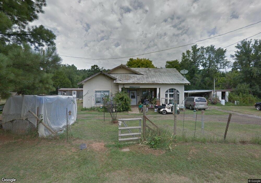
9693 Abbott Loop Mansfield, AR 72944
Estimated Value: $139,000
Studio
2
Baths
2,308
Sq Ft
$60/Sq Ft
Est. Value
About This Home
This home is located at 9693 Abbott Loop, Mansfield, AR 72944 and is currently estimated at $139,000, approximately $60 per square foot. 9693 Abbott Loop is a home located in Scott County with nearby schools including Mansfield Elementary School, Mansfield Middle School, and Mansfield High School.
Ownership History
Date
Name
Owned For
Owner Type
Purchase Details
Closed on
May 1, 1984
Bought by
Morgan Jackie and Morgan Gloria
Current Estimated Value
Create a Home Valuation Report for This Property
The Home Valuation Report is an in-depth analysis detailing your home's value as well as a comparison with similar homes in the area
Purchase History
| Date | Buyer | Sale Price | Title Company |
|---|---|---|---|
| Morgan Jackie | $9,000 | -- |
Source: Public Records
Tax History
| Year | Tax Paid | Tax Assessment Tax Assessment Total Assessment is a certain percentage of the fair market value that is determined by local assessors to be the total taxable value of land and additions on the property. | Land | Improvement |
|---|---|---|---|---|
| 2025 | $52 | $1,050 | $1,050 | $0 |
| 2024 | $52 | $1,050 | $1,050 | $0 |
| 2023 | $52 | $1,050 | $1,050 | $0 |
| 2022 | $52 | $1,050 | $1,050 | $0 |
| 2021 | $52 | $1,050 | $1,050 | $0 |
| 2020 | $464 | $11,900 | $2,010 | $9,890 |
| 2019 | $335 | $9,360 | $2,010 | $7,350 |
| 2018 | $315 | $9,360 | $2,010 | $7,350 |
| 2017 | $0 | $0 | $0 | $0 |
| 2015 | -- | $4,740 | $540 | $4,200 |
| 2014 | -- | $4,730 | $540 | $4,190 |
| 2013 | -- | $4,730 | $540 | $4,190 |
Source: Public Records
Map
Nearby Homes
- 19124 Abbott Rd
- 9796 Dayton Rd
- TBD Green Needles Rd
- 2028 Marit St
- 1900 Bottom Fork Rd
- TBD U S Highway 71
- 1000 E Center St
- 901 E Center St
- 411 S 7th Ave
- 304 Stone St
- 507 Darlene Dr
- TBD LOT 1 Dayton Rd
- TBD LOT 2 Dayton Rd
- TBD LOT 3 Dayton Rd
- 511 Park Ave
- 104 W Howard St
- 208 W Harper
- TBD S Division Ave
- 503 E Broadway St
- 100 E Wood St
- 9613 Abbott Loop
- 9770 Abbott Loop
- 9366 Rock Island Rd
- 9559 Abbott Loop
- 17401 Rock Island Rd
- 9285 Rock Island Rd
- 29173 Highway 71 N
- 29419 Highway 71 N
- 9411 Deer Trail
- 9459 Abbott Loop
- 29220 Highway 71 N
- 9120 Rock Island Rd
- 29220 U S 71
- 9913 Fawn Loop
- 9994 Abbott Loop
- 29723 Highway 71 N
- 0 Hwy 71 Abbott
- 28425 Highway 71 N
- 9940 Fawn Loop
- 9500 Blackjack Ridge Trail
Your Personal Tour Guide
Ask me questions while you tour the home.