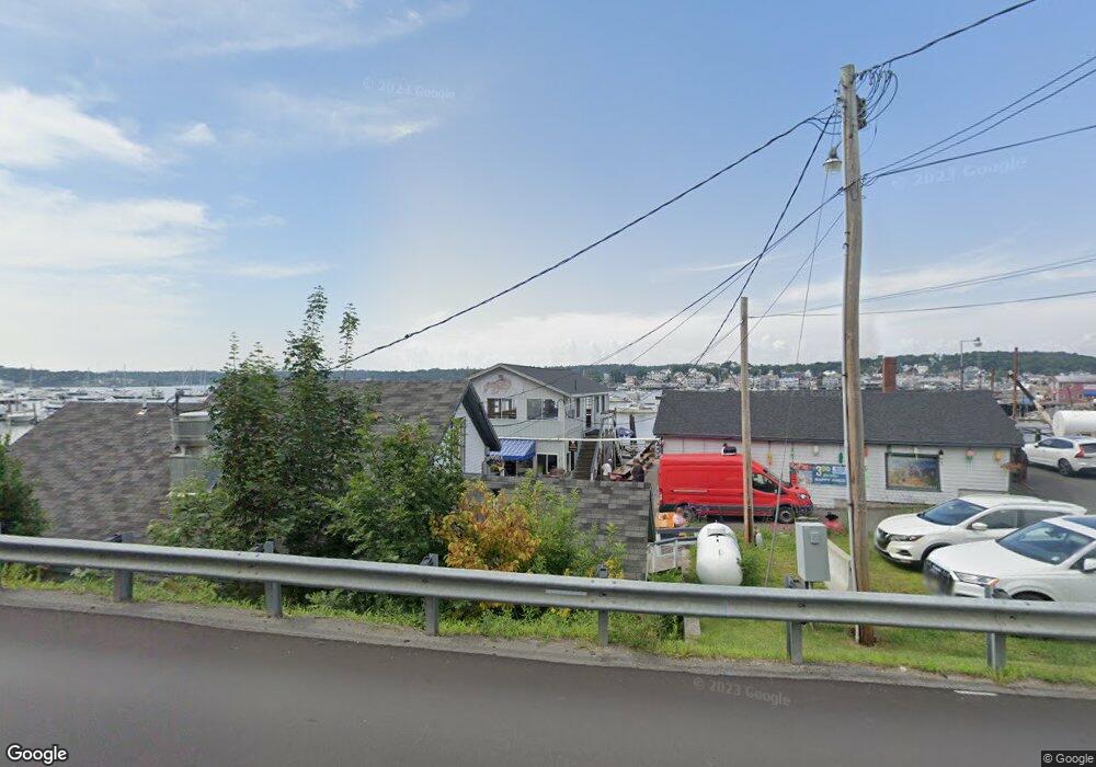
97 Atlantic Ave Boothbay Harbor, ME 04538
--
Bed
--
Bath
--
Sq Ft
0.81
Acres
About This Home
This home is located at 97 Atlantic Ave, Boothbay Harbor, ME 04538. 97 Atlantic Ave is a home located in Lincoln County with nearby schools including Boothbay Region Elementary School and Boothbay Region High School.
Ownership History
Date
Name
Owned For
Owner Type
Purchase Details
Closed on
Aug 31, 2015
Sold by
Simmons Todd A and Simmons Kimberly A
Bought by
T Philbrick Ent Llc
Home Financials for this Owner
Home Financials are based on the most recent Mortgage that was taken out on this home.
Original Mortgage
$850,000
Outstanding Balance
$671,694
Interest Rate
4.09%
Mortgage Type
Purchase Money Mortgage
Purchase Details
Closed on
May 18, 2006
Sold by
Lobstermen Boothbay Reg
Bought by
Simmons Todd A and Simmons Kimberly A
Home Financials for this Owner
Home Financials are based on the most recent Mortgage that was taken out on this home.
Original Mortgage
$1,620,000
Interest Rate
6.42%
Mortgage Type
Purchase Money Mortgage
Create a Home Valuation Report for This Property
The Home Valuation Report is an in-depth analysis detailing your home's value as well as a comparison with similar homes in the area
Home Values in the Area
Average Home Value in this Area
Purchase History
| Date | Buyer | Sale Price | Title Company |
|---|---|---|---|
| T Philbrick Ent Llc | -- | -- | |
| Simmons Todd A | -- | -- |
Source: Public Records
Mortgage History
| Date | Status | Borrower | Loan Amount |
|---|---|---|---|
| Open | T Philbrick Ent Llc | $850,000 | |
| Previous Owner | Simmons Todd A | $1,620,000 |
Source: Public Records
Tax History Compared to Growth
Tax History
| Year | Tax Paid | Tax Assessment Tax Assessment Total Assessment is a certain percentage of the fair market value that is determined by local assessors to be the total taxable value of land and additions on the property. | Land | Improvement |
|---|---|---|---|---|
| 2024 | $10,554 | $1,116,800 | $570,600 | $546,200 |
| 2023 | $9,995 | $1,116,800 | $570,600 | $546,200 |
| 2022 | $9,325 | $1,116,800 | $570,600 | $546,200 |
| 2019 | $8,543 | $714,900 | $411,000 | $303,900 |
| 2018 | $8,293 | $714,900 | $411,000 | $303,900 |
| 2017 | $8,150 | $714,900 | $411,000 | $303,900 |
| 2016 | $8,007 | $714,900 | $411,000 | $303,900 |
| 2014 | $7,792 | $714,900 | $411,000 | $303,900 |
| 2013 | $7,828 | $714,900 | $411,000 | $303,900 |
Source: Public Records
Map
Nearby Homes
- 31 Bay St
- 53 Commercial St
- 58 Roads End Rd
- 27 Townsend Ave
- 74 & 76 Bay St
- 37 Townsend Ave
- 34 Townsend Ave
- 26 Sea St
- 12 Sea St
- 66 Townsend Ave
- 66 Townsend Avenue & 43 Oak St
- 43 Oak St
- 127 Appalachee Rd
- 1 Cedar Ln Unit 1
- 3 Cedar Ln Unit 3
- 17 Cedar Ln Unit 17
- 302 Townsend Ave
- 5 Massachusetts Ave
- 44 King Phillips Trail
- 12 Westwind Dr
- Lot 1 Whale Rock Rd
- 104 Atlantic Ave
- 107 Atlantic Ave
- 92 Atlantic Ave
- 96 Atlantic Ave Unit C4
- 96 Atlantic Ave Unit D3
- 96 Atlantic Ave Unit C3
- 96 Atlantic Ave Unit B3
- 96 Atlantic Ave Unit A3
- 96 Atlantic Ave Unit D2
- 96 Atlantic Ave Unit C2
- 96 Atlantic Ave Unit B2
- 96 Atlantic Ave Unit A2
- 96 Atlantic Ave Unit D1
- 96 Atlantic Ave Unit B1
- 96 Atlantic Ave Unit A1
- 96 Atlantic Ave Unit D1C
- 96 Atlantic Ave Unit 1C
- 96 Atlantic Ave Unit 2
- 86 Atlantic Ave