Estimated Value: $391,000 - $423,000
--
Bed
--
Bath
2,124
Sq Ft
$193/Sq Ft
Est. Value
About This Home
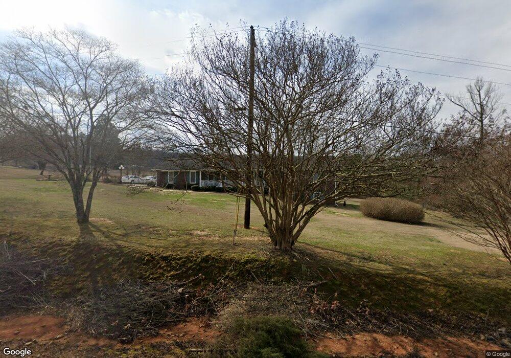
This home is located at 97 Ausburn Rd SW, Rome, GA 30165 and is currently estimated at $410,345, approximately $193 per square foot. 97 Ausburn Rd SW is a home located in Floyd County with nearby schools including Coosa Middle School and Coosa High School.
Ownership History
Date
Name
Owned For
Owner Type
Purchase Details
Closed on
Feb 6, 2025
Sold by
Guest David
Bought by
Arostegui Andrea
Current Estimated Value
Home Financials for this Owner
Home Financials are based on the most recent Mortgage that was taken out on this home.
Original Mortgage
$397,664
Outstanding Balance
$395,992
Interest Rate
6.93%
Mortgage Type
New Conventional
Estimated Equity
$14,353
Purchase Details
Closed on
Feb 6, 2015
Sold by
Guest Charles
Bought by
Hatcher Joy and Guest David
Purchase Details
Closed on
Aug 12, 2005
Sold by
Guest Charles B
Bought by
Guest Charles B and Guest Patricia H
Purchase Details
Closed on
Sep 26, 1973
Sold by
Guest Charles B
Bought by
P\R
Purchase Details
Closed on
Sep 24, 1973
Sold by
Edwards Leslie and Herman Holcombe
Bought by
Guest Charles B
Purchase Details
Closed on
Sep 14, 1970
Sold by
Holland Rosa G
Bought by
Edwards Leslie and Herman Holcombe
Purchase Details
Closed on
Jan 1, 1952
Bought by
Holland Rosa G
Create a Home Valuation Report for This Property
The Home Valuation Report is an in-depth analysis detailing your home's value as well as a comparison with similar homes in the area
Home Values in the Area
Average Home Value in this Area
Purchase History
| Date | Buyer | Sale Price | Title Company |
|---|---|---|---|
| Arostegui Andrea | -- | -- | |
| Arostegui Andrea | $405,000 | -- | |
| Hatcher Joy | -- | -- | |
| Guest Charles B | -- | -- | |
| P\R | $500 | -- | |
| Guest Charles B | -- | -- | |
| Edwards Leslie | $13,800 | -- | |
| Holland Rosa G | -- | -- |
Source: Public Records
Mortgage History
| Date | Status | Borrower | Loan Amount |
|---|---|---|---|
| Open | Arostegui Andrea | $397,664 | |
| Previous Owner | Guest Charles B | $100,000 |
Source: Public Records
Tax History Compared to Growth
Tax History
| Year | Tax Paid | Tax Assessment Tax Assessment Total Assessment is a certain percentage of the fair market value that is determined by local assessors to be the total taxable value of land and additions on the property. | Land | Improvement |
|---|---|---|---|---|
| 2024 | $3,831 | $124,978 | $17,741 | $107,237 |
| 2023 | $2,084 | $121,019 | $16,128 | $104,891 |
| 2022 | $1,664 | $97,195 | $13,306 | $83,889 |
| 2021 | $1,457 | $86,263 | $12,110 | $74,153 |
| 2020 | $1,402 | $82,496 | $10,530 | $71,966 |
| 2019 | $1,075 | $65,650 | $10,530 | $55,120 |
| 2018 | $1,036 | $63,392 | $10,030 | $53,362 |
| 2017 | $1,011 | $61,910 | $9,287 | $52,623 |
| 2016 | $1,021 | $61,716 | $9,280 | $52,436 |
| 2015 | $963 | $61,756 | $9,280 | $52,476 |
| 2014 | $963 | $61,196 | $9,280 | $51,916 |
Source: Public Records
Map
Nearby Homes
- 0 Ausburn Rd SW Unit 10611100
- 63 Highlander Trail SW
- 3 SW Highlander Trail SW
- 14 Bryan Springs Rd SW
- 48 Highlander Trail SW
- 0 Barker Rd SW Unit 10651788
- 0 Barker Rd SW Unit LotWP001
- 18 Rosalyn Dr SW
- 3428 Horseleg Creek Rd SW
- 26 Red Fox Dr SW
- 3241 Horseleg Creek Rd SW
- 458 Kraftsman Rd SW
- 5 Red Fox Dr SW
- 973 Barker Rd SW
- 876 Barker Rd SW
- 3686 Blacks Bluff Rd SW
- 47 Boyd Rd SW
- 0 Mt Alto Rd Sw Lot Unit WP001
- 8 Kayla Dr NW
- 4 Rivermont Dr SW
- 151 Ausburn Rd SW
- 126 Ausburn Rd SW
- 65 Ausburn Rd SW
- 152 Ausburn Rd SW
- 1962 Mays Bridge Rd SW
- 207 Ausburn Rd SW
- 1974 Mays Bridge Rd SW
- 200 Ausburn Rd SW
- 1820 Mays Bridge Rd SW
- 2009 2009
- 2022 Mays Bridge Rd SW
- 61 Tucker Trail SW
- 41 Tucker Trail SW
- 1905 Mays Bridge Rd SW
- 2287 Burnett Ferry Rd SW
- 366 Ausburn Rd SW
- 5 Garrison Way SW
- 5 Garrison Way SW
- 2262 Burnett Ferry Rd SW
- 27 Tucker Trail SW