97 Babb Dr Rocky Face, GA 30740
Estimated Value: $156,000 - $192,036
3
Beds
2
Baths
1,400
Sq Ft
$124/Sq Ft
Est. Value
About This Home
This home is located at 97 Babb Dr, Rocky Face, GA 30740 and is currently estimated at $173,759, approximately $124 per square foot. 97 Babb Dr is a home located in Walker County with nearby schools including Naomi Elementary School, Lafayette Middle School, and Lafayette High School.
Ownership History
Date
Name
Owned For
Owner Type
Purchase Details
Closed on
Feb 23, 2004
Sold by
Deutsche Bank Trust Company
Bought by
Millsap Jeremy Shane
Current Estimated Value
Purchase Details
Closed on
Nov 4, 2003
Sold by
Hill Arthur L and Hill Tresa A
Bought by
Deutsche Bank Trust Company
Purchase Details
Closed on
Oct 12, 2001
Sold by
Babb Needham H
Bought by
Hill Arthur L and Hill Tresa A
Purchase Details
Closed on
Jul 23, 1990
Sold by
Babb Donald and Babb
Bought by
Babb Needham H
Purchase Details
Closed on
Jan 1, 1972
Bought by
Babb Donald and Babb
Create a Home Valuation Report for This Property
The Home Valuation Report is an in-depth analysis detailing your home's value as well as a comparison with similar homes in the area
Home Values in the Area
Average Home Value in this Area
Purchase History
| Date | Buyer | Sale Price | Title Company |
|---|---|---|---|
| Millsap Jeremy Shane | $58,800 | -- | |
| Deutsche Bank Trust Company | -- | -- | |
| Hill Arthur L | $106,300 | -- | |
| Babb Needham H | -- | -- | |
| Babb Donald | -- | -- |
Source: Public Records
Tax History Compared to Growth
Tax History
| Year | Tax Paid | Tax Assessment Tax Assessment Total Assessment is a certain percentage of the fair market value that is determined by local assessors to be the total taxable value of land and additions on the property. | Land | Improvement |
|---|---|---|---|---|
| 2024 | $1,435 | $63,017 | $21,847 | $41,170 |
| 2023 | $1,324 | $56,457 | $17,339 | $39,118 |
| 2022 | $1,067 | $41,915 | $7,960 | $33,955 |
| 2021 | $928 | $32,627 | $7,960 | $24,667 |
| 2020 | $900 | $30,476 | $7,960 | $22,516 |
| 2019 | $915 | $30,476 | $7,960 | $22,516 |
| 2018 | $806 | $30,476 | $7,960 | $22,516 |
| 2017 | $1,463 | $43,561 | $7,960 | $35,601 |
| 2016 | $1,196 | $43,561 | $7,960 | $35,601 |
| 2015 | $1,265 | $43,569 | $9,200 | $34,369 |
| 2014 | $1,158 | $43,314 | $9,200 | $34,114 |
| 2013 | -- | $43,314 | $9,200 | $34,114 |
Source: Public Records
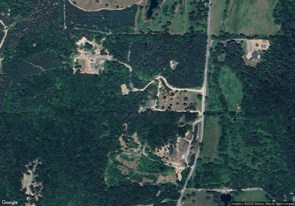
Map
Nearby Homes
- 533 Townsend Rd
- 297 Townsend Rd
- 0 Townsend Rd
- 124 Jonathan Way
- 0 Clement Rd Unit 7454770
- 0 Clement Rd Unit 10376510
- 00 Joe Robertson Rd
- 349 Joe Robertson Rd
- 0 Hurricane Rd S Unit 129270
- 0 Hurricane Rd S Unit 129269
- 0 Hurricane Rd S Unit 129268
- 1009 Covington Dr
- 2950 Davis Rd
- 221 Furnace Creek Rd
- 3915 Hurricane Rd
- 13538 Georgia 136
- 282 Cleghorn Dr
- 721 Gowan Rd
- 96 Babb Dr
- 159 Babb Dr
- 280 Lower Mill Creek Rd
- 1166 Lower Mill Creek Rd
- 101 Babb Dr
- 44 Love Ln
- 1031 Lower Mill Creek Rd
- 1385 Lower Mill Creek Rd
- 99 Love Ln
- 228 Love Ln
- 1438 Lower Mill Creek Rd
- 1528 Lower Mill Creek Rd
- 846 Lower Mill Creek Rd
- 1501 Lower Mill Creek Rd
- 1429 Lower Mill Creek Rd
- 1666 Lower Mill Creek Rd
- 1629 Lower Mill Creek Rd
- 0 White Tail Ln Unit RTC2414324
- 515 Lower Mill Creek Rd
- 3191 Villanow Mill Creek Rd