97 Breezy Point Rd Brunswick, ME 04011
Estimated Value: $1,206,000 - $1,357,143
4
Beds
4
Baths
3,464
Sq Ft
$373/Sq Ft
Est. Value
About This Home
This home is located at 97 Breezy Point Rd, Brunswick, ME 04011 and is currently estimated at $1,293,786, approximately $373 per square foot. 97 Breezy Point Rd is a home with nearby schools including Kate Furbish Elementary School, Brunswick Jr High School, and Brunswick High School.
Ownership History
Date
Name
Owned For
Owner Type
Purchase Details
Closed on
Oct 3, 2014
Sold by
Cataldi John F and Cataldi Talarah G
Bought by
Mills Scott D and Moreau Celeste
Current Estimated Value
Home Financials for this Owner
Home Financials are based on the most recent Mortgage that was taken out on this home.
Original Mortgage
$880,000
Outstanding Balance
$674,896
Interest Rate
4.11%
Mortgage Type
Purchase Money Mortgage
Estimated Equity
$618,890
Purchase Details
Closed on
Aug 28, 2009
Sold by
Mills Scott D
Bought by
Mills Scott D and Moreau Celeste
Purchase Details
Closed on
Nov 14, 2008
Sold by
Kramer Peter R and Kramer Theresa H
Bought by
Cataldi Talarah and Cataldi John F
Create a Home Valuation Report for This Property
The Home Valuation Report is an in-depth analysis detailing your home's value as well as a comparison with similar homes in the area
Home Values in the Area
Average Home Value in this Area
Purchase History
| Date | Buyer | Sale Price | Title Company |
|---|---|---|---|
| Mills Scott D | -- | -- | |
| Mills Scott D | -- | -- | |
| Cataldi Talarah | -- | -- |
Source: Public Records
Mortgage History
| Date | Status | Borrower | Loan Amount |
|---|---|---|---|
| Open | Mills Scott D | $880,000 | |
| Previous Owner | Cataldi Talarah | $800,900 | |
| Previous Owner | Cataldi Talarah | $785,700 |
Source: Public Records
Tax History Compared to Growth
Tax History
| Year | Tax Paid | Tax Assessment Tax Assessment Total Assessment is a certain percentage of the fair market value that is determined by local assessors to be the total taxable value of land and additions on the property. | Land | Improvement |
|---|---|---|---|---|
| 2024 | $17,027 | $713,900 | $130,700 | $583,200 |
| 2023 | $16,627 | $713,900 | $130,700 | $583,200 |
| 2022 | $15,973 | $736,400 | $164,700 | $571,700 |
| 2021 | $15,345 | $735,600 | $164,700 | $570,900 |
| 2020 | $4,774 | $735,600 | $164,700 | $570,900 |
| 2019 | $4,774 | $733,700 | $164,700 | $569,000 |
| 2018 | $13,882 | $733,700 | $164,700 | $569,000 |
| 2017 | $13,478 | $733,700 | $164,700 | $569,000 |
| 2016 | $12,647 | $430,900 | $176,800 | $254,100 |
| 2015 | $12,217 | $430,800 | $176,700 | $254,100 |
| 2014 | $11,804 | $430,800 | $176,700 | $254,100 |
| 2013 | $11,433 | $430,800 | $176,700 | $254,100 |
Source: Public Records
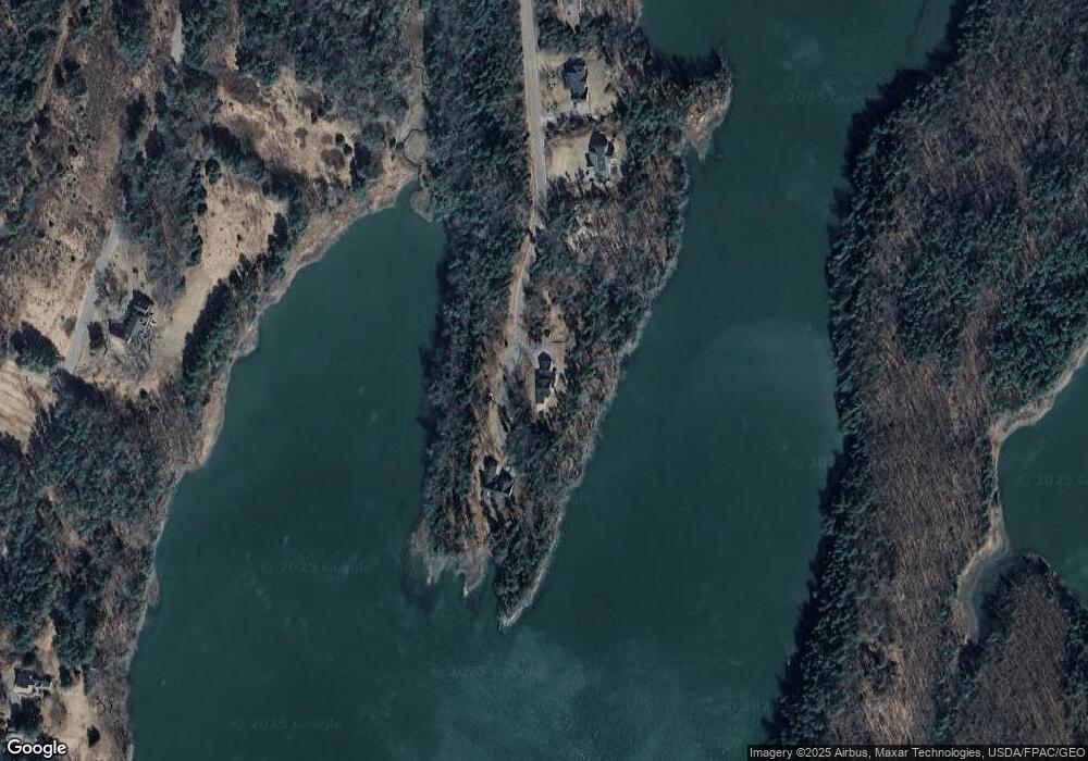
Map
Nearby Homes
- 646 Gurnet Rd
- 29 & 30 Nob Hill Ave
- 242 Long Reach Ln
- 270 Harpswell Neck Rd
- 260 Coombs Rd
- 93 Abbot Cove Rd
- 30 Driftwood Tide Ln
- 58 Kopaddy Trail
- 250 Mere Point Rd
- 2 Chickadee Cir Unit 2
- 11 Neptune Dr
- 6 Melden Dr
- 0 Melden Dr
- 20 Ward Cir
- 111 Rockweed Rd
- 0 Gundalo Gap Rd Unit 1638108
- 11 Antietam St Unit A
- 27 Guadalcanal Dr Unit 27
- 42 Guadalcanal St Unit 42
- Lot 27 Howards Point Ln
- 8 Breezy Point Rd
- 8 Breezy Point Rd
- 98 Breezy Point Rd
- 91 Breezy Point Rd
- 83 Breezy Point Rd
- 79 Breezy Point Rd
- Lot 5 Breezy Point Rd
- 73 Breezy Point Rd
- Lot 4 Breezy Point Rd
- 57 Breezy Point Rd
- 14 Breezy Point Rd
- 13 Breezy Point Rd
- Lot 9 Breezy Point Rd
- lot13 Breezy Point Rd
- Lot6 Breezy Point Rd
- Lot9 Breezy Point Rd
- Lot8 Breezy Point Rd
- Lot11 Breezy Point Rd
- Lot7 Breezy Point Rd
- 257 Princes Point Rd