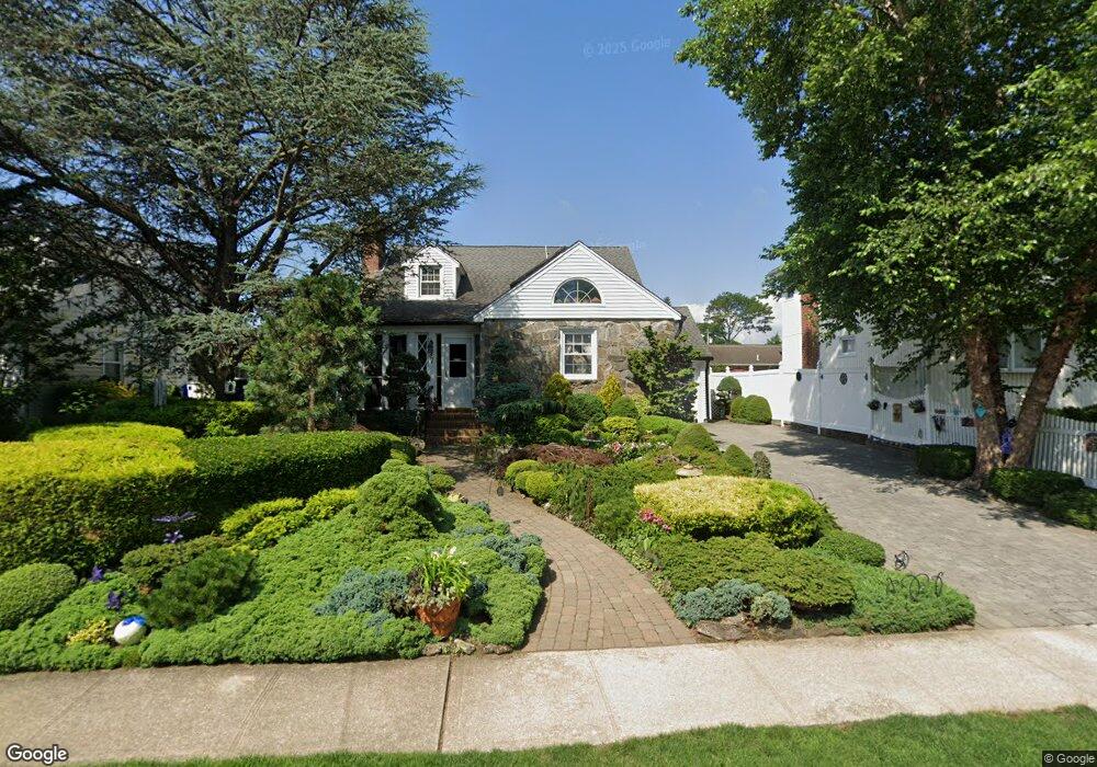
97 Brookside Ave Merrick, NY 11566
Estimated Value: $629,583 - $729,000
Studio
1
Bath
1,430
Sq Ft
$475/Sq Ft
Est. Value
About This Home
This home is located at 97 Brookside Ave, Merrick, NY 11566 and is currently estimated at $679,292, approximately $475 per square foot. 97 Brookside Ave is a home located in Nassau County with nearby schools including Merrick Avenue Middle School, Sanford H Calhoun High School, and Sacred Heart School.
Ownership History
Date
Name
Owned For
Owner Type
Purchase Details
Closed on
Nov 16, 2013
Sold by
Molden Linda
Bought by
Molden Linda and Gerstmann Phyliss
Current Estimated Value
Purchase Details
Closed on
Sep 30, 1999
Sold by
Friedman Steven and Friedman Regina
Bought by
Molden Linda
Home Financials for this Owner
Home Financials are based on the most recent Mortgage that was taken out on this home.
Original Mortgage
$190,000
Interest Rate
7.8%
Mortgage Type
Purchase Money Mortgage
Create a Home Valuation Report for This Property
The Home Valuation Report is an in-depth analysis detailing your home's value as well as a comparison with similar homes in the area
Home Values in the Area
Average Home Value in this Area
Purchase History
| Date | Buyer | Sale Price | Title Company |
|---|---|---|---|
| Molden Linda | -- | -- | |
| Molden Linda | $289,400 | First American Title Ins Co |
Source: Public Records
Mortgage History
| Date | Status | Borrower | Loan Amount |
|---|---|---|---|
| Previous Owner | Molden Linda | $190,000 |
Source: Public Records
Tax History
| Year | Tax Paid | Tax Assessment Tax Assessment Total Assessment is a certain percentage of the fair market value that is determined by local assessors to be the total taxable value of land and additions on the property. | Land | Improvement |
|---|---|---|---|---|
| 2025 | $8,973 | $456 | $209 | $247 |
| 2024 | $2,936 | $454 | $208 | $246 |
Source: Public Records
Map
Nearby Homes
- 2 Garfield St
- 1680 Lake Ave
- 1715 Remson Ave
- TBD Camp Ave
- 132 Webster St
- 2016 Abbot Ave
- 19 Margaret Blvd
- 1617 Richard Ave
- 1911 Carroll Ave
- 45 Richard Ave
- 1531 Merrick Ave
- 70 Nancy Blvd
- 1563 Stevens Ave
- 24 Loines Ave
- 204 Margaret Blvd
- 138 Hewlett Ave
- 1741 Bushwick Ave
- 1772 Rose St
- 1931 Miller Place
- 1526 Rhode Ave
- 95 Brookside Ave
- 1724 Brookside Ave
- 2048 Camp Ave
- 12 Arms Ave
- 1743 Arms Ave
- 93 Brookside Ave
- 1717 Arms Ave
- 6 Arms Ave
- 1723 Brookside Ave
- 19 E Garfield St
- 15 E Garfield St
- 100 Brookside Ave
- 2045 Camp Ave
- 7 Arms Ave
- 1730 Arms Ave
- 17 Arms Ave
- 1748 Arms Ave
- 2051 Anding Ave
- 1720 Arms Ave
- 90 Brookside Ave
Your Personal Tour Guide
Ask me questions while you tour the home.