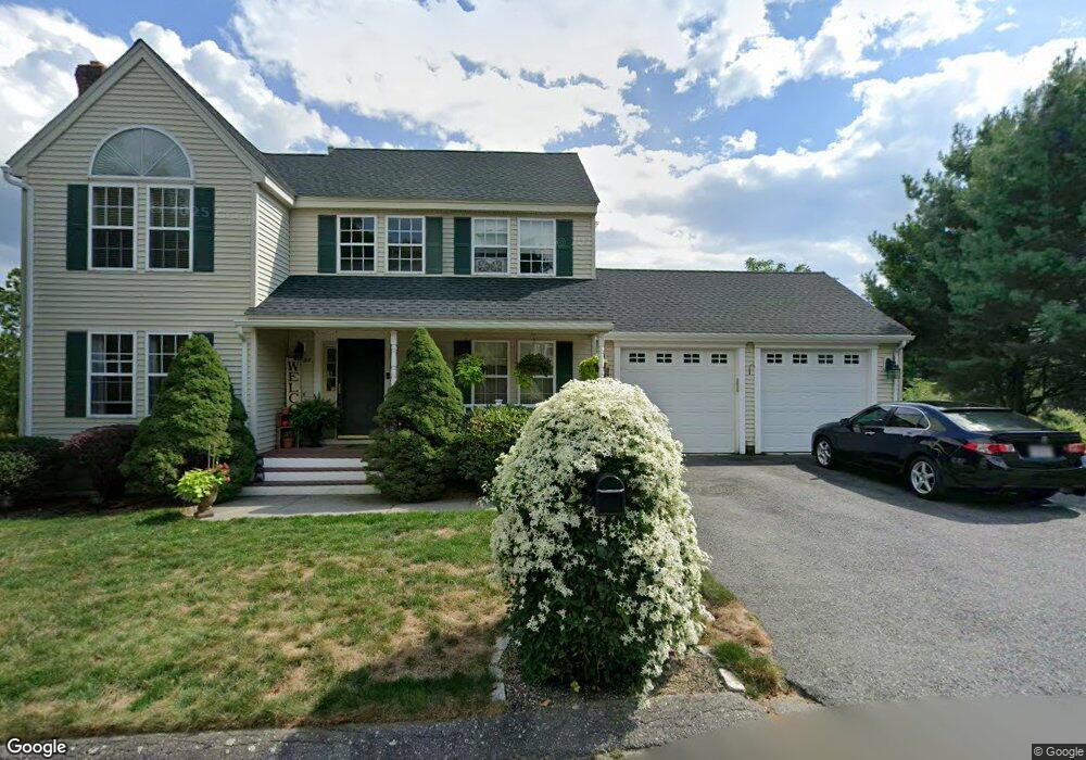
97 Buttermilk Rd Leominster, MA 01453
Estimated Value: $555,737 - $629,000
3
Beds
2
Baths
1,426
Sq Ft
$414/Sq Ft
Est. Value
About This Home
This home is located at 97 Buttermilk Rd, Leominster, MA 01453 and is currently estimated at $590,684, approximately $414 per square foot. 97 Buttermilk Rd is a home located in Worcester County with nearby schools including Leominster High School, St. Leo School, and St. Anna Catholic School.
Ownership History
Date
Name
Owned For
Owner Type
Purchase Details
Closed on
Oct 24, 2014
Sold by
Brendon Props Hickory
Bought by
Shrewsbury Town Of
Current Estimated Value
Purchase Details
Closed on
Dec 30, 2011
Sold by
Tousignant Robert D and Tousignant Kristin E
Bought by
Tousignant Kristin E
Purchase Details
Closed on
Apr 30, 2003
Sold by
Hanlon Greg and Hanlon Susan
Bought by
Tousignant Robert D and Tousignant Kristin E
Home Financials for this Owner
Home Financials are based on the most recent Mortgage that was taken out on this home.
Original Mortgage
$248,850
Interest Rate
5.82%
Mortgage Type
Purchase Money Mortgage
Purchase Details
Closed on
Dec 17, 1993
Sold by
Harvard Est R T and Anderson Peter D
Bought by
Hanlon Greg
Create a Home Valuation Report for This Property
The Home Valuation Report is an in-depth analysis detailing your home's value as well as a comparison with similar homes in the area
Home Values in the Area
Average Home Value in this Area
Purchase History
| Date | Buyer | Sale Price | Title Company |
|---|---|---|---|
| Shrewsbury Town Of | -- | -- | |
| Shrewsbury Town Of | -- | -- | |
| Tousignant Kristin E | -- | -- | |
| Tousignant Robert D | $276,500 | -- | |
| Hanlon Greg | $125,075 | -- |
Source: Public Records
Mortgage History
| Date | Status | Borrower | Loan Amount |
|---|---|---|---|
| Previous Owner | Hanlon Greg | $230,400 | |
| Previous Owner | Hanlon Greg | $10,000 | |
| Previous Owner | Hanlon Greg | $248,850 |
Source: Public Records
Tax History Compared to Growth
Tax History
| Year | Tax Paid | Tax Assessment Tax Assessment Total Assessment is a certain percentage of the fair market value that is determined by local assessors to be the total taxable value of land and additions on the property. | Land | Improvement |
|---|---|---|---|---|
| 2025 | $6,534 | $465,700 | $158,000 | $307,700 |
| 2024 | $6,440 | $443,800 | $150,400 | $293,400 |
| 2023 | $6,078 | $391,100 | $130,800 | $260,300 |
| 2022 | $5,826 | $351,800 | $113,800 | $238,000 |
| 2021 | $5,428 | $299,400 | $88,600 | $210,800 |
| 2020 | $5,189 | $288,600 | $88,600 | $200,000 |
| 2019 | $5,032 | $271,400 | $84,300 | $187,100 |
| 2018 | $4,991 | $258,200 | $81,800 | $176,400 |
| 2017 | $4,861 | $246,400 | $76,400 | $170,000 |
| 2016 | $4,642 | $237,100 | $69,400 | $167,700 |
| 2015 | $4,267 | $219,500 | $69,400 | $150,100 |
| 2014 | $4,218 | $223,300 | $75,300 | $148,000 |
Source: Public Records
Map
Nearby Homes
- 103 Buttermilk Rd
- 91 Buttermilk Rd
- 96 Buttermilk Rd
- 102 Buttermilk Rd
- 90 Buttermilk Rd
- 81 Buttermilk Rd
- 108 Buttermilk Rd
- 82 Buttermilk Rd
- 111 Buttermilk Rd
- 73 Buttermilk Rd
- 74 Buttermilk Rd
- 81 Farm Hill Rd
- 65 Buttermilk Rd
- 66 Buttermilk Rd
- 75 Farm Hill Rd
- 87 Farm Hill Rd
- 59 Buttermilk Rd
- 93 Farm Hill Rd
- 69 Farm Hill Rd
- 58 Buttermilk Rd